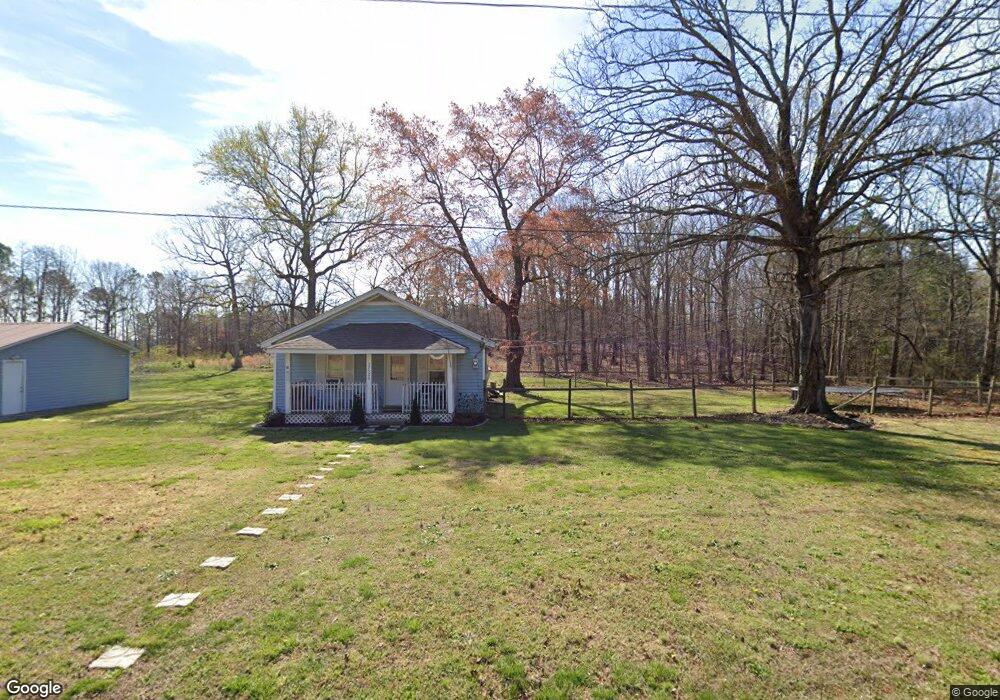
37520 Barnhardt Rd Albemarle, NC 28001
Estimated Value: $65,000 - $242,000
2
Beds
1
Bath
810
Sq Ft
$185/Sq Ft
Est. Value
About This Home
This home is located at 37520 Barnhardt Rd, Albemarle, NC 28001 and is currently estimated at $149,611, approximately $184 per square foot. 37520 Barnhardt Rd is a home located in Stanly County with nearby schools including Badin Elementary School, North Stanly Middle School, and North Stanly High School.
Ownership History
Date
Name
Owned For
Owner Type
Purchase Details
Closed on
Feb 26, 2021
Sold by
Forte John Daniel
Bought by
Brock Mollie J
Current Estimated Value
Home Financials for this Owner
Home Financials are based on the most recent Mortgage that was taken out on this home.
Original Mortgage
$52,000
Outstanding Balance
$47,825
Interest Rate
4.37%
Mortgage Type
New Conventional
Estimated Equity
$101,786
Purchase Details
Closed on
Jul 19, 2013
Sold by
Lomax Rita Forte and Lomax Wayne
Bought by
Forte John Daniel
Purchase Details
Closed on
Mar 16, 2005
Sold by
Drye Victoria F and Forte John D
Bought by
Lomax Rita Forte and Braley Jason Dennis
Create a Home Valuation Report for This Property
The Home Valuation Report is an in-depth analysis detailing your home's value as well as a comparison with similar homes in the area
Purchase History
| Date | Buyer | Sale Price | Title Company |
|---|---|---|---|
| Brock Mollie J | $50,000 | None Available | |
| Forte John Daniel | -- | None Available | |
| Lomax Rita Forte | $27,500 | None Available |
Source: Public Records
Mortgage History
| Date | Status | Borrower | Loan Amount |
|---|---|---|---|
| Open | Brock Mollie J | $52,000 |
Source: Public Records
Tax History
| Year | Tax Paid | Tax Assessment Tax Assessment Total Assessment is a certain percentage of the fair market value that is determined by local assessors to be the total taxable value of land and additions on the property. | Land | Improvement |
|---|---|---|---|---|
| 2025 | $546 | $92,894 | $44,875 | $48,019 |
| 2024 | $441 | $64,202 | $26,062 | $38,140 |
| 2023 | $538 | $64,202 | $26,062 | $38,140 |
| 2022 | $538 | $64,202 | $26,062 | $38,140 |
| 2021 | $536 | $64,202 | $26,062 | $38,140 |
| 2020 | $510 | $56,928 | $23,187 | $33,741 |
| 2019 | $511 | $56,928 | $23,187 | $33,741 |
| 2018 | $426 | $56,928 | $23,187 | $33,741 |
| 2017 | $426 | $56,928 | $23,187 | $33,741 |
| 2016 | $238 | $31,894 | $21,750 | $10,144 |
| 2015 | $312 | $31,894 | $21,750 | $10,144 |
| 2014 | $331 | $31,894 | $21,750 | $10,144 |
Source: Public Records
Map
Nearby Homes
- 40348 Barnhardt Rd
- 0 Palestine Rd
- 36984 B&C Carter Rd
- 36014 Davis Dr
- 39273 Wright Rd
- 2808 Murdock Ln
- 0 Moss Ln Unit CAR4314439
- 601 Sherman St
- 00 Maplewood Ln
- 45625 Broadway Rd
- 0000 Dogwood Ln Unit LOTS 4/5
- 78 Dogwood Ln
- 214 Knollwood Cir
- 36433 Azalea Cir
- 2812 Highway 52
- 2 Tallassee St
- 2706 US Highway 52 N
- 36220 Gene Rd
- 125 Lowder Rd
- 1719 Ridge St
- 37519 Barnhardt Rd
- 000 Barnhardt Rd
- 37548 Barnhardt Rd
- 41541 Smiley Rd
- 37551 Barnhardt Rd
- 37562 Barnhardt Rd
- 37468 Barnhardt Rd
- 37471 Barnhardt Rd
- 37448 Barnhardt Rd
- 37451 Melton Rd
- 41486 Smiley Rd
- 41489 Smiley Rd
- 37443 Melton Rd
- 37435 Barnhardt Rd
- 37430 Barnhardt Rd
- 38868 Tower Rd
- 37448 Melton Rd
- 39113 Derrick Dr
- 38852 Tower Rd
- 38874 Tower Rd
Your Personal Tour Guide
Ask me questions while you tour the home.