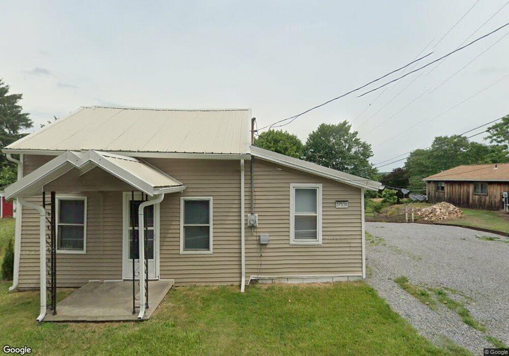
37538 State Route 558 Leetonia, OH 44431
Estimated Value: $111,000 - $120,000
2
Beds
1
Bath
1,126
Sq Ft
$102/Sq Ft
Est. Value
About This Home
This home is located at 37538 State Route 558, Leetonia, OH 44431 and is currently estimated at $115,381, approximately $102 per square foot. 37538 State Route 558 is a home located in Columbiana County with nearby schools including Leetonia Elementary K-6, Leetonia Elementary School, and Leetonia Jr./Sr. High School.
Ownership History
Date
Name
Owned For
Owner Type
Purchase Details
Closed on
Aug 9, 2025
Sold by
Garcia Bruce
Bought by
Esenwein Shelby L
Current Estimated Value
Home Financials for this Owner
Home Financials are based on the most recent Mortgage that was taken out on this home.
Original Mortgage
$4,081
Outstanding Balance
$4,074
Interest Rate
6.72%
Estimated Equity
$111,307
Purchase Details
Closed on
Oct 10, 2023
Sold by
Barton Buddy
Bought by
Garcia Bruce
Purchase Details
Closed on
Mar 13, 2013
Sold by
Brown Elaine K and Fiets Nancy L
Bought by
Sevek Mary
Home Financials for this Owner
Home Financials are based on the most recent Mortgage that was taken out on this home.
Original Mortgage
$45,918
Interest Rate
3.49%
Mortgage Type
New Conventional
Purchase Details
Closed on
Oct 3, 2011
Sold by
Estate Of Kenneth Ray Entrikin
Bought by
Entrikin Karen Sue
Purchase Details
Closed on
Oct 1, 2004
Sold by
Entrikin Norma J
Bought by
Brown Elaine K and Fiets Nancy L
Purchase Details
Closed on
May 29, 2002
Sold by
Entrikin Billy R and Entrikin Norma J
Bought by
Entrikin Billy R and Entrikin Norma J
Create a Home Valuation Report for This Property
The Home Valuation Report is an in-depth analysis detailing your home's value as well as a comparison with similar homes in the area
Home Values in the Area
Average Home Value in this Area
Purchase History
| Date | Buyer | Sale Price | Title Company |
|---|---|---|---|
| Esenwein Shelby L | $116,600 | Heritage Union Title | |
| Esenwein Shelby L | $116,600 | Heritage Union Title | |
| Garcia Bruce | $41,200 | None Listed On Document | |
| Sevek Mary | $45,000 | Heritage Union Title Co Ltd | |
| Entrikin Karen Sue | -- | Attorney | |
| Brown Elaine K | -- | -- | |
| Entrikin Billy R | -- | -- |
Source: Public Records
Mortgage History
| Date | Status | Borrower | Loan Amount |
|---|---|---|---|
| Open | Esenwein Shelby L | $4,081 | |
| Closed | Esenwein Shelby L | $4,081 | |
| Open | Esenwein Shelby L | $114,488 | |
| Closed | Esenwein Shelby L | $114,488 | |
| Previous Owner | Sevek Mary | $45,918 |
Source: Public Records
Tax History Compared to Growth
Tax History
| Year | Tax Paid | Tax Assessment Tax Assessment Total Assessment is a certain percentage of the fair market value that is determined by local assessors to be the total taxable value of land and additions on the property. | Land | Improvement |
|---|---|---|---|---|
| 2024 | $628 | $17,990 | $2,380 | $15,610 |
| 2023 | $612 | $17,990 | $2,380 | $15,610 |
| 2022 | $614 | $17,990 | $2,380 | $15,610 |
| 2021 | $560 | $15,690 | $2,350 | $13,340 |
| 2020 | $574 | $15,690 | $2,350 | $13,340 |
| 2019 | $579 | $15,690 | $2,350 | $13,340 |
| 2018 | $568 | $14,250 | $2,140 | $12,110 |
| 2017 | $575 | $14,250 | $2,140 | $12,110 |
| 2016 | $615 | $15,050 | $2,170 | $12,880 |
| 2015 | $615 | $15,050 | $2,170 | $12,880 |
| 2014 | $625 | $15,050 | $2,170 | $12,880 |
Source: Public Records
Map
Nearby Homes
- 38495 Old State Route 344
- 3753 Grafton Rd
- 39144 State Route 558
- 38875 Old State Route 344
- 3600 Leetonia Rd
- 909 Lisbon Rd
- 375 Pearl St
- 405 Orchard Dr
- 1817 State Route 344
- 5415 Saint Jacobs Logtown Rd
- 406 Orchard Hill Dr
- 1958 S Lincoln Ave Unit 4
- 1932 S Lincoln Ave Unit 1
- 859 Cunningham Rd
- 36700 Butcher Rd
- 457 Cherry Fork Ave
- 489 Columbia St
- 780 Cunningham Rd
- 1356 Pembrooke Dr Unit A
- 1603 Chestnut Grove Rd
- 37547 State Route 558
- 37531 State Route 558
- 37504 State Route 558
- 37563 State Route 558
- 37563 State Route 558
- 3037 Lisbon Rd
- 3034 Lisbon Rd
- 37576 State Route 558
- 3130 West St
- 3119 Lisbon Rd
- 3040 Lisbon Rd
- 3135 Lisbon Rd
- 3120 Lisbon Rd
- 37457 Ohio 558
- 3106 Lisbon Rd
- 3106 Lisbon Rd
- 3010 Lisbon Canfield Rd
- 37600 State Route 558
- 3155 Lisbon Rd
- 37614 State Route 558