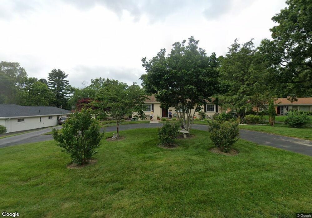
3754 Langhorst Ct Cincinnati, OH 45236
Estimated Value: $320,000 - $375,000
3
Beds
2
Baths
1,396
Sq Ft
$249/Sq Ft
Est. Value
About This Home
This home is located at 3754 Langhorst Ct, Cincinnati, OH 45236 and is currently estimated at $347,227, approximately $248 per square foot. 3754 Langhorst Ct is a home located in Hamilton County with nearby schools including Amity Elementary School, Deer Park Jr/Sr High School, and Ohr Torah Cincinnati.
Ownership History
Date
Name
Owned For
Owner Type
Purchase Details
Closed on
Sep 20, 2002
Sold by
Buck Delores J Tr
Bought by
Mcalpine Frank and Mcalpine Carol
Current Estimated Value
Home Financials for this Owner
Home Financials are based on the most recent Mortgage that was taken out on this home.
Original Mortgage
$125,000
Outstanding Balance
$50,809
Interest Rate
6.4%
Estimated Equity
$296,418
Create a Home Valuation Report for This Property
The Home Valuation Report is an in-depth analysis detailing your home's value as well as a comparison with similar homes in the area
Home Values in the Area
Average Home Value in this Area
Purchase History
| Date | Buyer | Sale Price | Title Company |
|---|---|---|---|
| Mcalpine Frank | $165,000 | -- |
Source: Public Records
Mortgage History
| Date | Status | Borrower | Loan Amount |
|---|---|---|---|
| Open | Mcalpine Frank | $125,000 |
Source: Public Records
Tax History
| Year | Tax Paid | Tax Assessment Tax Assessment Total Assessment is a certain percentage of the fair market value that is determined by local assessors to be the total taxable value of land and additions on the property. | Land | Improvement |
|---|---|---|---|---|
| 2025 | $5,365 | $96,786 | $21,777 | $75,009 |
| 2023 | $4,796 | $96,786 | $21,777 | $75,009 |
| 2022 | $3,802 | $62,231 | $17,350 | $44,881 |
| 2021 | $3,710 | $62,231 | $17,350 | $44,881 |
| 2020 | $3,393 | $62,231 | $17,350 | $44,881 |
| 2019 | $3,437 | $57,621 | $16,065 | $41,556 |
| 2018 | $3,439 | $57,621 | $16,065 | $41,556 |
| 2017 | $3,246 | $57,621 | $16,065 | $41,556 |
| 2016 | $3,315 | $58,104 | $17,833 | $40,271 |
| 2015 | $3,081 | $58,104 | $17,833 | $40,271 |
| 2014 | $3,084 | $58,104 | $17,833 | $40,271 |
| 2013 | $2,757 | $52,346 | $16,065 | $36,281 |
Source: Public Records
Map
Nearby Homes
- 8390 Wexford Ave
- 3647 Guam Ct
- 8494 Wexford Ave
- 7837 Moss Ct
- 7719 Dearborn Ave
- 7905 Plainfield Rd
- 4104 Estermarie Dr
- 4120 Hoffman Ave
- 8608 Dundalk Ct
- 4123 Hoffman Ave
- 4009 Saint Johns Terrace
- 7651 Sagamore Dr
- 8468 Plainfield Rd
- 4208 Linden Ave
- 4050 O'Leary Ave
- 3982 Superior Ave
- 4053 Belfast Ave
- 3827 Thornton Dr
- 8622 Plainfield Ln
- 4305 Myrtle Ave
- 3750 Langhorst Ct
- 3764 Langhorst Ct
- 3774 Langhorst Ct
- 3755 Jeffrey Ct
- 3730 Langhorst Ct
- 3765 Jeffrey Ct
- 3743 Jeffrey Ct
- 3755 Langhorst Ct
- 3743 Langhorst Ct
- 3773 Langhorst Ct
- 3731 Jeffrey Ct
- 3720 Langhorst Ct
- 3773 Jeffrey Ct
- 3765 Langhorst Ct
- 8295 Wicklow Ave
- 3731 Langhorst Ct
- 8289 Wicklow Ave
- 8301 Wicklow Ave
- 8309 Wicklow Ave
- 8283 Wicklow Ave
Your Personal Tour Guide
Ask me questions while you tour the home.