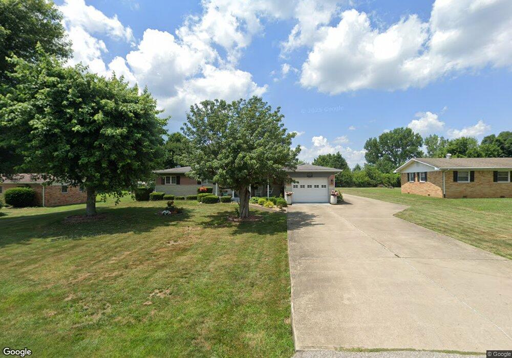
3755 Adams Dr Martinsville, IN 46151
Estimated Value: $315,000 - $358,000
3
Beds
3
Baths
1,808
Sq Ft
$188/Sq Ft
Est. Value
About This Home
This home is located at 3755 Adams Dr, Martinsville, IN 46151 and is currently estimated at $340,072, approximately $188 per square foot. 3755 Adams Dr is a home located in Morgan County with nearby schools including Martinsville High School.
Ownership History
Date
Name
Owned For
Owner Type
Purchase Details
Closed on
Sep 15, 2021
Sold by
Cole Donald and Cole Kimberley Voyles
Bought by
Cole Donald and Cole Kimberley V
Current Estimated Value
Purchase Details
Closed on
Dec 29, 2017
Sold by
Cole Kimberly Voyles and Green Kimberly Voyles
Bought by
Cole Donald and Cole Kimberly Voyles
Purchase Details
Closed on
May 25, 2010
Sold by
Green Willis Bryant
Bought by
Green Kimberley Voyles
Purchase Details
Closed on
Jun 28, 2007
Sold by
Voyles Ladonna A
Bought by
Green Kimberley Voyles and Bryant Green W
Create a Home Valuation Report for This Property
The Home Valuation Report is an in-depth analysis detailing your home's value as well as a comparison with similar homes in the area
Home Values in the Area
Average Home Value in this Area
Purchase History
| Date | Buyer | Sale Price | Title Company |
|---|---|---|---|
| Cole Donald | -- | None Available | |
| Cole Donald | -- | None Available | |
| Green Kimberley Voyles | -- | -- | |
| Green Kimberley Voyles | -- | -- |
Source: Public Records
Tax History Compared to Growth
Tax History
| Year | Tax Paid | Tax Assessment Tax Assessment Total Assessment is a certain percentage of the fair market value that is determined by local assessors to be the total taxable value of land and additions on the property. | Land | Improvement |
|---|---|---|---|---|
| 2024 | $1,440 | $284,400 | $48,400 | $236,000 |
| 2023 | $1,407 | $284,800 | $48,400 | $236,400 |
| 2022 | $1,304 | $272,200 | $48,400 | $223,800 |
| 2021 | $883 | $208,900 | $21,200 | $187,700 |
| 2020 | $838 | $207,500 | $21,200 | $186,300 |
| 2019 | $1,085 | $184,000 | $21,200 | $162,800 |
| 2018 | $928 | $159,800 | $17,000 | $142,800 |
| 2017 | $607 | $157,600 | $17,000 | $140,600 |
| 2016 | $587 | $144,800 | $17,000 | $127,800 |
| 2014 | $471 | $140,800 | $17,000 | $123,800 |
| 2013 | $471 | $141,500 | $17,000 | $124,500 |
Source: Public Records
Map
Nearby Homes
- 3735 Egbert Rd
- 4440 State Road 37 N
- 00 Wysscraft Ln
- 3813 N Ramsgate Rd
- 0 Foxcliff East Dr S Unit MBR22069585
- 2001 E Ely Ct
- 1927 E Derby Ct
- 3185 N Southampton Ridge
- 2975 Southampton Dr
- 5774 N Henderson Ford Rd
- 3160 Southampton Dr
- N Oxford Ct N Oxford Ct
- 0 N Oxford Ct Unit MBR21838244
- 899/900 L Southampton Dr
- 0 E Durham Dr Unit MBR22052372
- 0 E Terrace S Unit MBR22039049
- Lot #297 E Durham Dr
- LOT 293 E Durham Dr
- 2340 N Egbert Rd
- 4392 N York Dr
- 3745 Adams Dr
- 3770 Adams Dr
- 3790 Adams Dr
- 3750 Adams Dr
- 3735 Adams Dr
- 3765 Adams Dr
- 3800 Adams Dr
- 3720 Adams Dr
- 3785 Adams Dr
- 3715 Adams Dr
- 3700 Adams Dr
- 3805 Adams Dr
- 3820 Adams Dr
- 3705 Adams Dr
- 3815 Adams Dr
- 3850 Henderson Ford Rd
- 3860 Henderson Ford Rd
- 3875 Adams Dr
- 3770 Henderson Ford Rd
- 3760 Henderson Ford Rd