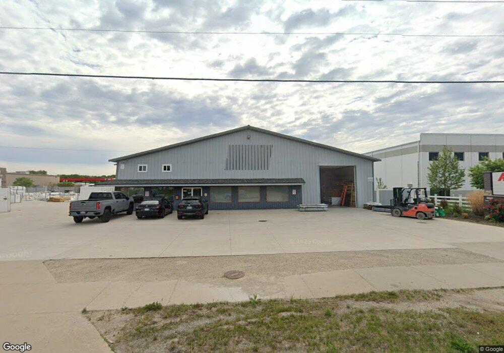
3755 N Division St Morris, IL 60450
Estimated Value: $1,350,000 - $1,540,000
Studio
--
Bath
--
Sq Ft
130,680
Sq Ft Lot
About This Home
This home is located at 3755 N Division St, Morris, IL 60450 and is currently estimated at $1,467,523. 3755 N Division St is a home located in Grundy County with nearby schools including Saratoga Elementary School, Morris Community High School, and Immaculate Conception School.
Ownership History
Date
Name
Owned For
Owner Type
Purchase Details
Closed on
Oct 20, 2017
Sold by
Polcyn Kenneth D and Polcyn Kathy A
Bought by
Acosta Enterprises Ltd
Current Estimated Value
Home Financials for this Owner
Home Financials are based on the most recent Mortgage that was taken out on this home.
Original Mortgage
$360,000
Outstanding Balance
$301,503
Interest Rate
3.83%
Mortgage Type
New Conventional
Estimated Equity
$1,166,020
Purchase Details
Closed on
Dec 12, 2011
Sold by
Trust Oxford Bank &
Bought by
Polcyn Kenneth D and Polcyn Kathy A
Home Financials for this Owner
Home Financials are based on the most recent Mortgage that was taken out on this home.
Original Mortgage
$450,000
Interest Rate
3.98%
Mortgage Type
Commercial
Create a Home Valuation Report for This Property
The Home Valuation Report is an in-depth analysis detailing your home's value as well as a comparison with similar homes in the area
Purchase History
| Date | Buyer | Sale Price | Title Company |
|---|---|---|---|
| Acosta Enterprises Ltd | $900,000 | Chicago Title | |
| Polcyn Kenneth D | $645,000 | -- |
Source: Public Records
Mortgage History
| Date | Status | Borrower | Loan Amount |
|---|---|---|---|
| Open | Acosta Enterprises Ltd | $360,000 | |
| Closed | Acosta Enterprises Ltd | $450,000 | |
| Previous Owner | Polcyn Kenneth D | $450,000 |
Source: Public Records
Tax History
| Year | Tax Paid | Tax Assessment Tax Assessment Total Assessment is a certain percentage of the fair market value that is determined by local assessors to be the total taxable value of land and additions on the property. | Land | Improvement |
|---|---|---|---|---|
| 2024 | $12,152 | $167,446 | $140,199 | $27,247 |
| 2023 | $11,423 | $157,404 | $131,791 | $25,613 |
| 2022 | $10,745 | $148,062 | $123,969 | $24,093 |
| 2021 | $10,211 | $138,609 | $116,054 | $22,555 |
| 2020 | $9,830 | $130,763 | $109,485 | $21,278 |
| 2019 | $9,766 | $130,763 | $109,485 | $21,278 |
| 2018 | $14,951 | $199,487 | $109,796 | $89,691 |
| 2017 | $14,585 | $195,270 | $107,475 | $87,795 |
| 2016 | $14,125 | $189,234 | $104,153 | $85,081 |
| 2015 | $13,577 | $186,547 | $102,674 | $83,873 |
| 2014 | $13,160 | $177,259 | $97,562 | $79,697 |
| 2013 | $13,491 | $184,050 | $101,300 | $82,750 |
Source: Public Records
Map
Nearby Homes
- 3948 N Division St
- 100 Green Acres Dr Unit 2
- 150 Us Highway 6
- 2380 Chestnut Ln
- 1859 Erin Ln
- 0 Gore Rd
- 2697 Creekside Ln
- 1810 Jana Ln
- Lot 1 W Commercial St
- 2666 Beyer Rd
- 936 Thomas Dr
- 957 Thomas Dr
- Lot 3 Heron Lake Ct
- 00 U S 6
- 245 Robinson Dr
- 523 Bedford Rd
- 329 Robinson Dr
- 1 By Railroad Track
- 409 Mckinley St
- 0 Anne Ln
- 1846 Harbor Dr
- 3727 N Division St
- 50 Gore Rd
- 200 Gore Rd
- 460 Briscoe Dr
- 1262 Leah Rd Unit D
- 1262 Leah Rd
- 1262 Leah Rd Unit B
- 1262 Leah Rd
- 455 Briscoe Dr
- 0 Granville Rd Unit 6912706
- 270 E Us Route 6
- 8070 N State Route 47
- 495 Briscoe Dr
- 220 E Us Route 6
- 300 E Us Route 6
- 560 E Us Route 6
- 570 E Us Route 6
- 160 E Us Route 6
- 160 U S 6
Your Personal Tour Guide
Ask me questions while you tour the home.