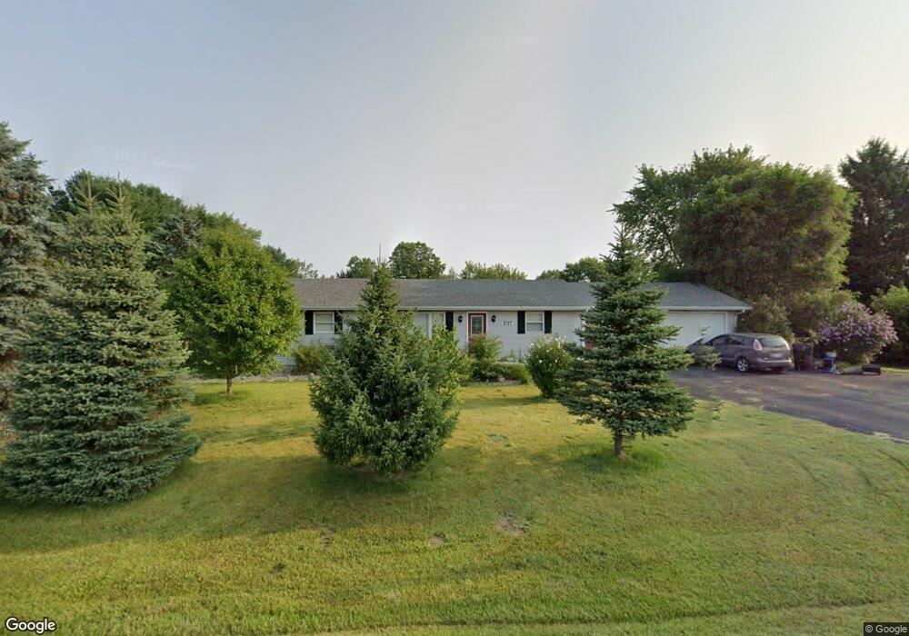
3757 Browntown Rd Sawyer, MI 49125
Estimated Value: $302,000 - $445,000
3
Beds
2
Baths
1,431
Sq Ft
$259/Sq Ft
Est. Value
About This Home
This home is located at 3757 Browntown Rd, Sawyer, MI 49125 and is currently estimated at $370,782, approximately $259 per square foot. 3757 Browntown Rd is a home located in Berrien County with nearby schools including River Valley Middle/High School, Lutie High School, and Trinity Lutheran School.
Ownership History
Date
Name
Owned For
Owner Type
Purchase Details
Closed on
Aug 27, 2014
Sold by
Poplawski Margarita G
Bought by
Poplawski Margarita G and Poplawski Amanda L
Current Estimated Value
Purchase Details
Closed on
Aug 6, 2010
Sold by
Bruder Neal Owen
Bought by
Poplawski Margarita G
Home Financials for this Owner
Home Financials are based on the most recent Mortgage that was taken out on this home.
Original Mortgage
$113,767
Outstanding Balance
$75,817
Interest Rate
4.7%
Mortgage Type
FHA
Estimated Equity
$294,965
Create a Home Valuation Report for This Property
The Home Valuation Report is an in-depth analysis detailing your home's value as well as a comparison with similar homes in the area
Home Values in the Area
Average Home Value in this Area
Purchase History
| Date | Buyer | Sale Price | Title Company |
|---|---|---|---|
| Poplawski Margarita G | -- | None Available | |
| Poplawski Margarita G | $115,300 | Cti |
Source: Public Records
Mortgage History
| Date | Status | Borrower | Loan Amount |
|---|---|---|---|
| Open | Poplawski Margarita G | $113,767 |
Source: Public Records
Tax History Compared to Growth
Tax History
| Year | Tax Paid | Tax Assessment Tax Assessment Total Assessment is a certain percentage of the fair market value that is determined by local assessors to be the total taxable value of land and additions on the property. | Land | Improvement |
|---|---|---|---|---|
| 2025 | $1,434 | $146,800 | $0 | $0 |
| 2024 | $913 | $143,000 | $0 | $0 |
| 2023 | $865 | $119,700 | $0 | $0 |
| 2022 | $824 | $89,000 | $0 | $0 |
| 2021 | $1,256 | $87,000 | $16,200 | $70,800 |
| 2020 | $1,236 | $90,900 | $0 | $0 |
| 2019 | $1,204 | $68,300 | $13,100 | $55,200 |
| 2018 | $1,175 | $68,300 | $0 | $0 |
| 2017 | $1,160 | $67,200 | $0 | $0 |
| 2016 | $1,063 | $69,300 | $0 | $0 |
| 2015 | $1,064 | $77,200 | $0 | $0 |
| 2014 | $668 | $78,400 | $0 | $0 |
Source: Public Records
Map
Nearby Homes
- 2362 Browntown Rd
- 10671 California
- 11760 Landon Rd
- 4509 Hanover Rd
- 10617 Baldwin Rd
- 11159 Red Arrow Hwy Unit 278
- 3990 Sugarsand Ln
- 3995 Sugarsand Ln
- 5650 Lily Ln
- 12856 Flynn Rd
- 4043 Sugarsand Ln
- 4019 Sugarsand Ln
- 0 Gast Rd Unit 24006127
- 9992 Gast Rd
- 12843 S Wolcott Ave
- 10067 Red Arrow Hwy
- 10051 Weko Dr
- 00 Red Arrow Hwy
- 12370 Dunes Rd
- Elements 2100 Plan at Lake Haven - Elements
- 3783 Browntown Rd
- 3783 Browntown Rd
- 12090 Gast Rd
- 3805 Browntown Rd
- 12072 Gast Rd
- 12064 Gast Rd
- 3826 Browntown Rd
- 3857 Browntown Rd
- 3846 Browntown Rd
- 3848 Browntown Rd
- 3661 Browntown Rd
- 12032 Gast Rd
- 3883 Browntown Rd
- 3843 Browntown Rd
- 3917 Browntown Rd
- 11996 Gast Rd
- 3884 Browntown Rd
- 3953 Browntown Rd
- 3920 Browntown Rd
- 3967 Browntown Rd