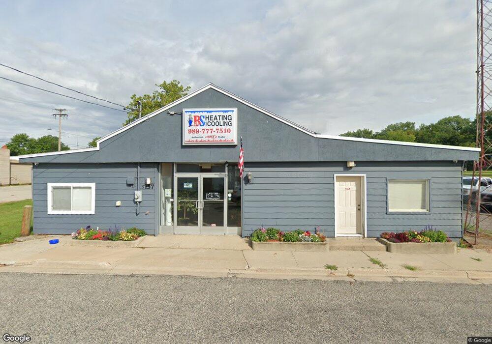
3757 Sherman St Bridge Port, MI 48722
Bridgeport NeighborhoodEstimated Value: $47,933
Studio
--
Bath
6,400
Sq Ft
$7/Sq Ft
Est. Value
About This Home
This home is located at 3757 Sherman St, Bridge Port, MI 48722 and is currently priced at $47,933, approximately $7 per square foot. 3757 Sherman St is a home located in Saginaw County with nearby schools including Thomas White School, Martin G. Atkins Elementary School, and Bridgeport-Spaulding Middle School - Martin G. Atkins.
Ownership History
Date
Name
Owned For
Owner Type
Purchase Details
Closed on
Dec 10, 2013
Sold by
Bridgeport Township Downtown Development
Bought by
Harrington Laurie H and Harrington William C
Current Estimated Value
Purchase Details
Closed on
Jan 16, 2012
Sold by
Demaet Carl and Demaet Mary
Bought by
Bridgeport Township Downtown Development
Purchase Details
Closed on
Aug 29, 2011
Sold by
Wentworth Tim and Wentworth Shanron
Bought by
Demaet Carl P and Demaet Mary L
Purchase Details
Closed on
Nov 2, 2005
Create a Home Valuation Report for This Property
The Home Valuation Report is an in-depth analysis detailing your home's value as well as a comparison with similar homes in the area
Home Values in the Area
Average Home Value in this Area
Purchase History
| Date | Buyer | Sale Price | Title Company |
|---|---|---|---|
| Harrington Laurie H | -- | -- | |
| Bridgeport Township Downtown Development | $18,000 | First American Title Insuran | |
| Demaet Carl P | -- | -- | |
| -- | $60,000 | -- |
Source: Public Records
Tax History
| Year | Tax Paid | Tax Assessment Tax Assessment Total Assessment is a certain percentage of the fair market value that is determined by local assessors to be the total taxable value of land and additions on the property. | Land | Improvement |
|---|---|---|---|---|
| 2025 | $406 | $55,500 | $0 | $0 |
| 2024 | $393 | $51,800 | $0 | $0 |
| 2023 | $375 | $48,900 | $0 | $0 |
| 2022 | $1,845 | $44,000 | $0 | $0 |
| 2021 | $1,741 | $37,600 | $0 | $0 |
| 2020 | $1,706 | $36,100 | $0 | $0 |
| 2019 | $1,645 | $35,900 | $4,300 | $31,600 |
| 2018 | $327 | $29,800 | $0 | $0 |
| 2017 | $1,573 | $32,400 | $0 | $0 |
| 2016 | $1,648 | $31,900 | $0 | $0 |
| 2014 | -- | $0 | $0 | $0 |
| 2013 | -- | $28,700 | $0 | $0 |
Source: Public Records
Map
Nearby Homes
- 3838 Sherman St
- 6250 Dixie Hwy
- 4021 Triwood Rd
- 3800 Jim Dr
- 0 Dixie Unit 50157060
- 3280 Dixie Ct
- 5220 S Washington Rd
- 3782 Egan St Unit 3784
- 6412 Tin Lizzy Ln
- 3195 Dixie Ct
- 3615 Bernice Dr
- 4719 Baker Rd
- 3021 Vessy Dr
- 3565 Diamondale Dr E
- 2846 Briarwood Dr
- 2820 Greenbriar Dr
- 4051 Old King Rd
- 4333 Riverview Dr
- 6605 Bridgeport Hwy
- 3534 Williamson Rd
- 6165 Dixie Hwy
- 6187 Dixie Hwy
- 6187 Dixie Hwy
- 4312 Williamson St
- 4320 Williamson St
- 4300 Williamson St
- 4338 Williamson St
- 4312 Williamson St
- 4320 Williamson St
- 4304 Williamson St
- 4330 Williamson St
- 4400 Williamson St
- 4418 Williamson St
- 4410 Williamson St
- 4304 Williamson St
- 6154 Dixie Hwy
- 3786 Sherman St
- 6180 Dixie Hwy
- 3801 State St
- 3806 State St
Your Personal Tour Guide
Ask me questions while you tour the home.