37580 Bond Rd NE Albany, OR 97322
Estimated Value: $647,000
7
Beds
1
Bath
2,376
Sq Ft
$272/Sq Ft
Est. Value
About This Home
This home is located at 37580 Bond Rd NE, Albany, OR 97322 and is currently estimated at $647,000, approximately $272 per square foot. 37580 Bond Rd NE is a home located in Linn County with nearby schools including Timber Ridge School, Clover Ridge Elementary School, and South Albany High School.
Ownership History
Date
Name
Owned For
Owner Type
Purchase Details
Closed on
Aug 26, 2014
Sold by
Lengkeek Myrna Lou
Bought by
Braith Joseph Frank
Current Estimated Value
Home Financials for this Owner
Home Financials are based on the most recent Mortgage that was taken out on this home.
Original Mortgage
$30,000
Interest Rate
4.11%
Mortgage Type
Purchase Money Mortgage
Purchase Details
Closed on
May 11, 2011
Sold by
Braith Margaret Mae
Bought by
Braith Eugene Raymond and Lengkeek Myrna Lou
Purchase Details
Closed on
Aug 31, 2004
Sold by
Braith Frank J
Bought by
Braith Frank J and Frank J Braith Trust
Create a Home Valuation Report for This Property
The Home Valuation Report is an in-depth analysis detailing your home's value as well as a comparison with similar homes in the area
Home Values in the Area
Average Home Value in this Area
Purchase History
| Date | Buyer | Sale Price | Title Company |
|---|---|---|---|
| Braith Joseph Frank | $30,000 | Ticor Title | |
| Braith Eugene Raymond | -- | None Available | |
| Braith Frank J | -- | None Available |
Source: Public Records
Mortgage History
| Date | Status | Borrower | Loan Amount |
|---|---|---|---|
| Closed | Braith Joseph Frank | $30,000 |
Source: Public Records
Tax History Compared to Growth
Tax History
| Year | Tax Paid | Tax Assessment Tax Assessment Total Assessment is a certain percentage of the fair market value that is determined by local assessors to be the total taxable value of land and additions on the property. | Land | Improvement |
|---|---|---|---|---|
| 2025 | $1,687 | $112,001 | -- | -- |
| 2024 | $1,645 | $109,096 | $4,348 | -- |
| 2023 | $58 | $106,274 | $0 | $0 |
| 2022 | $57 | $103,535 | $0 | $0 |
| 2021 | $53 | $100,868 | $0 | $0 |
| 2020 | $53 | $98,283 | $0 | $0 |
| 2019 | $52 | $95,710 | $0 | $0 |
| 2018 | $1,299 | $93,046 | $0 | $0 |
| 2017 | $48 | $90,463 | $0 | $0 |
| 2016 | $44 | $88,169 | $0 | $0 |
| 2015 | $43 | $85,254 | $0 | $0 |
| 2014 | $42 | $84,917 | $0 | $0 |
Source: Public Records
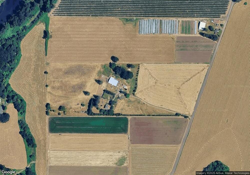
Map
Nearby Homes
- Lot 103 Scravel Hill Rd NE
- 38115 Scravel Hill Rd NE
- 1290 Linnwood Dr NE
- 34637 Knox Butte Rd E
- 1150 Linnwood Dr NE
- 0 Santiam Way NE
- 34501 Knox Butte Rd E
- 0 Harris Ln SE
- 35628 Knox Butte Rd E
- 36765 Glaser Dr
- 35309 Highway 20 SE
- 38598 Scravel Hill Rd NE
- 0 Scravel Hill Rd Unit 281890226
- 37929 Kelly Rd
- 773 S Grice Loop
- 34388 Grenz Ln NE
- 253 Scravel Hill (-375) Rd NE
- 758 S Sunrise Dr
- 4418 Bounty Place NE
- 4245 Sagecrest Dr NE