3759 Airport Way East Wenatchee, WA 98802
Estimated Value: $1,676,868
--
Bed
--
Bath
9,800
Sq Ft
$171/Sq Ft
Est. Value
About This Home
This home is located at 3759 Airport Way, East Wenatchee, WA 98802 and is currently estimated at $1,676,868, approximately $171 per square foot. 3759 Airport Way is a home located in Douglas County with nearby schools including Clovis Point Intermediate School, Rock Island Elementary School, and Eastmont Junior High School.
Ownership History
Date
Name
Owned For
Owner Type
Purchase Details
Closed on
Aug 15, 2023
Sold by
K & R Real Estate Llc
Bought by
Ambaum Blvd Llc
Current Estimated Value
Purchase Details
Closed on
Dec 18, 2006
Sold by
Thomas James International I Llc
Bought by
K & R Real Estate Llc
Create a Home Valuation Report for This Property
The Home Valuation Report is an in-depth analysis detailing your home's value as well as a comparison with similar homes in the area
Home Values in the Area
Average Home Value in this Area
Purchase History
| Date | Buyer | Sale Price | Title Company |
|---|---|---|---|
| Ambaum Blvd Llc | $1,374,017 | First American Title | |
| K & R Real Estate Llc | $326 | None Available |
Source: Public Records
Mortgage History
| Date | Status | Borrower | Loan Amount |
|---|---|---|---|
| Closed | K & R Real Estate Llc | $0 |
Source: Public Records
Tax History Compared to Growth
Tax History
| Year | Tax Paid | Tax Assessment Tax Assessment Total Assessment is a certain percentage of the fair market value that is determined by local assessors to be the total taxable value of land and additions on the property. | Land | Improvement |
|---|---|---|---|---|
| 2025 | $933 | $1,015,200 | $267,800 | $747,400 |
| 2024 | $9,944 | $1,033,700 | $267,800 | $765,900 |
| 2023 | $11,354 | $1,033,700 | $267,800 | $765,900 |
| 2022 | $11,087 | $964,100 | $267,800 | $696,300 |
| 2021 | $11,963 | $964,100 | $267,800 | $696,300 |
| 2020 | $11,662 | $964,100 | $267,800 | $696,300 |
| 2018 | $11,457 | $921,600 | $267,800 | $653,800 |
| 2017 | $10,179 | $921,600 | $267,800 | $653,800 |
| 2016 | $9,998 | $879,300 | $267,800 | $611,500 |
| 2015 | $9,528 | $879,300 | $267,800 | $611,500 |
| 2014 | -- | $803,700 | $267,800 | $535,900 |
| 2013 | -- | $803,700 | $267,800 | $535,900 |
Source: Public Records
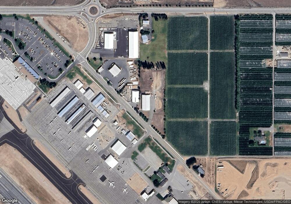
Map
Nearby Homes
- 3110 1st St SE
- 0 N Quincy Ave
- 0 Ward St
- 0 Leray Ranch Rd
- 573 S Perry Ave
- 579 S Perry Ave
- 585 S Perry Ave
- 581 S Oasis Loop
- 2575 1st St SE
- 2526 1st St SE
- 2716 8th St NE
- 3223 Martin Place
- 2527 Pioneer Ln
- 0 Noble Moonbeam
- 2545 6th St SE
- 2945 Martin Place
- 2425 Noah St SE
- 2571 Paisley St SE
- 2532 7th St SE
- 2405 Noah St SE
- 3741 Airport Way
- 3721 Airport Way
- 1327 Airport Way
- 3711 Airport Way
- 0 Airport Way Unit 1218331
- 0 Airport Way Unit 1218329
- 3780 Grant Rd
- 3791 Airport Way
- 3950 Grant Rd
- 0 NNA Grant Rd
- 3795 N George St
- 3975 Airport Way
- 427 Urban Industrial Ave
- 300 Urban Industrial Ave
- 224 S Vanwell Ave
- 374 Urban Industrial Way
- 0 Lot 21 2nd St SE
- 0 (Lot 21) 2nd St SE Unit 1942501
- 3290 1st St SE
- 120 S Union Ave