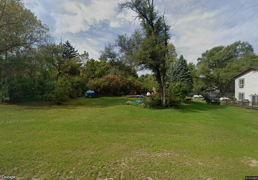
376 N Euclid Ave Benton Harbor, MI 49022
Benton Heights NeighborhoodEstimated Value: $123,395
--
Bed
--
Bath
--
Sq Ft
1.19
Acres
About This Home
This home is located at 376 N Euclid Ave, Benton Harbor, MI 49022 and is currently priced at $123,395. 376 N Euclid Ave is a home located in Berrien County with nearby schools including Fair Plain Middle School, Benton Harbor High School, and Mildred C. Wells Preparatory Academy.
Ownership History
Date
Name
Owned For
Owner Type
Purchase Details
Closed on
Nov 1, 2022
Sold by
Pitchford Kimberly R
Bought by
Kublick Dale
Current Estimated Value
Home Financials for this Owner
Home Financials are based on the most recent Mortgage that was taken out on this home.
Original Mortgage
$108,775
Outstanding Balance
$104,787
Interest Rate
6.02%
Mortgage Type
New Conventional
Purchase Details
Closed on
Sep 16, 2022
Sold by
Berrien County Land Bank Authority
Bought by
Pitchford Kimberly R
Home Financials for this Owner
Home Financials are based on the most recent Mortgage that was taken out on this home.
Original Mortgage
$108,775
Outstanding Balance
$104,787
Interest Rate
6.02%
Mortgage Type
New Conventional
Purchase Details
Closed on
Jul 1, 2013
Sold by
Modica Barbara R
Bought by
Torres Jesus O
Create a Home Valuation Report for This Property
The Home Valuation Report is an in-depth analysis detailing your home's value as well as a comparison with similar homes in the area
Home Values in the Area
Average Home Value in this Area
Purchase History
| Date | Buyer | Sale Price | Title Company |
|---|---|---|---|
| Kublick Dale | $114,500 | First American Title | |
| Pitchford Kimberly R | $2,445 | -- | |
| Berrien County Land Bank Authority | $2,130 | -- | |
| Torres Jesus O | $1,000 | None Available |
Source: Public Records
Mortgage History
| Date | Status | Borrower | Loan Amount |
|---|---|---|---|
| Open | Kublick Dale | $108,775 |
Source: Public Records
Tax History Compared to Growth
Tax History
| Year | Tax Paid | Tax Assessment Tax Assessment Total Assessment is a certain percentage of the fair market value that is determined by local assessors to be the total taxable value of land and additions on the property. | Land | Improvement |
|---|---|---|---|---|
| 2022 | $82 | $2,600 | $0 | $0 |
| 2021 | $112 | $2,900 | $2,900 | $0 |
| 2020 | $110 | $2,800 | $0 | $0 |
| 2019 | $109 | $2,100 | $2,100 | $0 |
| 2018 | $110 | $2,100 | $0 | $0 |
| 2017 | $228 | $2,200 | $0 | $0 |
| 2016 | $230 | $2,300 | $0 | $0 |
| 2015 | $230 | $2,300 | $0 | $0 |
| 2014 | $109 | $3,100 | $0 | $0 |
Source: Public Records
Map
Nearby Homes
- 425 N Euclid Ave
- 2202 Berg Ave
- 2416 Highland Ave
- 140 N Crystal Ave
- 000 N Euclid Ave
- 00 N Euclid Ave
- 0 N Euclid Ave Unit 24029856
- 0 Vl Clinton Rd
- 149 Bridgman Ave
- VL Clinton Rd
- 185 Felton St
- 948 Baldanza Ave
- 855 Milo St
- 2039 Taube Ave
- 1993 Taube Ave
- 2062 Hatch Ave
- 1081 Villa Ct
- 2431 E Britain Ave
- 1187 Villa Ct
- 2277 Laurel Dr
- 388 N Euclid Ave
- 2082 Orchard Dr
- 2074 Orchard Dr
- 402 N Euclid Ave
- 2081 Orchard Dr
- 2073 Orchard Dr
- 414 N Euclid Ave
- 2066 Orchard Dr
- 2054 Orchard Dr
- 426 N Euclid Ave
- 2065 Orchard Dr
- 2065 Orchard Dr
- 2053 Orchard Dr
- 438 N Euclid Ave
- 2080 Peterson Dr
- 2072 Peterson Dr
- 2064 Peterson Dr
- 2042 Orchard Dr
- 2041 Orchard Dr
- 2052 Peterson Dr