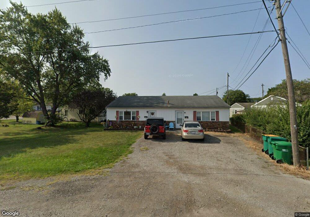
376 State Route 142 NE Unit 378 West Jefferson, OH 43162
Estimated Value: $237,784 - $297,000
2
Beds
3
Baths
1,440
Sq Ft
$182/Sq Ft
Est. Value
About This Home
This home is located at 376 State Route 142 NE Unit 378, West Jefferson, OH 43162 and is currently estimated at $262,261, approximately $182 per square foot. 376 State Route 142 NE Unit 378 is a home located in Madison County with nearby schools including Norwood Elementary School, West Jefferson Middle School, and West Jefferson High School.
Ownership History
Date
Name
Owned For
Owner Type
Purchase Details
Closed on
Dec 27, 2024
Sold by
Grice Carol Kay
Bought by
Byerly Emily K
Current Estimated Value
Create a Home Valuation Report for This Property
The Home Valuation Report is an in-depth analysis detailing your home's value as well as a comparison with similar homes in the area
Home Values in the Area
Average Home Value in this Area
Purchase History
| Date | Buyer | Sale Price | Title Company |
|---|---|---|---|
| Byerly Emily K | -- | None Listed On Document |
Source: Public Records
Tax History Compared to Growth
Tax History
| Year | Tax Paid | Tax Assessment Tax Assessment Total Assessment is a certain percentage of the fair market value that is determined by local assessors to be the total taxable value of land and additions on the property. | Land | Improvement |
|---|---|---|---|---|
| 2024 | $2,548 | $56,240 | $13,780 | $42,460 |
| 2023 | $2,548 | $56,240 | $13,780 | $42,460 |
| 2022 | $2,010 | $41,240 | $11,120 | $30,120 |
| 2021 | $2,018 | $41,240 | $11,120 | $30,120 |
| 2020 | $2,054 | $41,240 | $11,120 | $30,120 |
| 2019 | $1,754 | $34,680 | $9,730 | $24,950 |
| 2018 | $1,634 | $34,680 | $9,730 | $24,950 |
| 2017 | $1,637 | $34,680 | $9,730 | $24,950 |
| 2016 | $1,400 | $29,070 | $9,730 | $19,340 |
| 2015 | $1,461 | $29,070 | $9,730 | $19,340 |
| 2014 | $1,461 | $29,070 | $9,730 | $19,340 |
| 2013 | -- | $30,520 | $10,620 | $19,900 |
Source: Public Records
Map
Nearby Homes
- 304 Middle Dr
- 622 Brookdale Dr
- 700 Shawn Dr Unit 88
- 63 Jones St
- 0 W Jeff Kiousville Rd Unit 225000725
- 1000 W Main St Unit 120
- 125 Dogwood Ct
- 360 State Route 142 NE
- 1890 Wilson Rd SE
- 10763 Southwood Rd
- 8629 Canyon Cove Rd
- 8873 Canoe Dr
- 8548 Canyon Cove Rd
- 8830 Hubbard Dr N
- 749 Hubbard Rd
- 8482 Dover Crest Ct
- 9519 High Free Pike
- 3150 Middle Pike
- 1280 Four Star Dr W
- 1278 Lieutenant Dr
- 368 London Rd
- 368 State Route 142 NE
- 110 Ohio Ave Unit 112
- 90 Ohio Ave
- 362 State Route 142 NE
- 365 Marshall Dr
- 371 Marshall Dr
- 350 State Route 142 NE
- 115 Ohio Ave
- 119 Ohio Ave
- 107 Ohio Ave
- 99 Ohio Ave
- 400 London Rd
- 400 State Route 142 NE
- 359 Marshall Dr
- 344 State Route 142 NE
- 344 London Rd
- 68 Ohio Ave
- 121 Putnam Ave
- 83 Ohio Ave