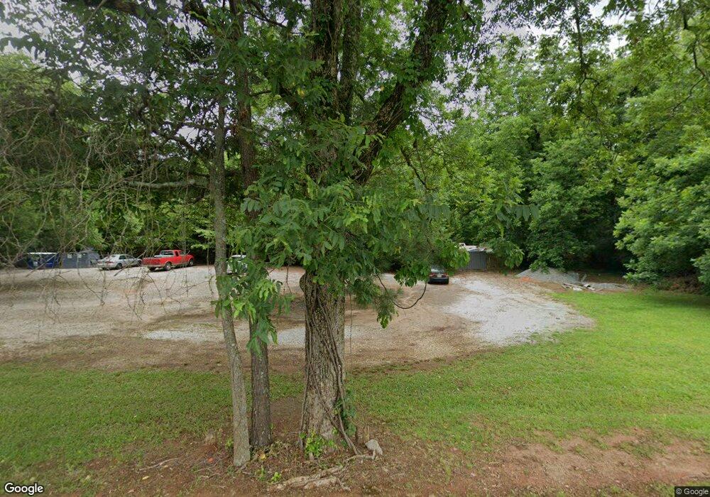
3764 Highway 162 Covington, GA 30016
Estimated Value: $236,000 - $293,000
--
Bed
1
Bath
1,322
Sq Ft
$207/Sq Ft
Est. Value
About This Home
This home is located at 3764 Highway 162, Covington, GA 30016 and is currently estimated at $273,284, approximately $206 per square foot. 3764 Highway 162 is a home located in Newton County with nearby schools including Rocky Plains Elementary School, Indian Creek Middle School, and Alcovy High School.
Ownership History
Date
Name
Owned For
Owner Type
Purchase Details
Closed on
May 29, 1998
Sold by
Allen Jerry D and Allen Mattie L
Bought by
Milner Scott and Milner Jessica
Current Estimated Value
Home Financials for this Owner
Home Financials are based on the most recent Mortgage that was taken out on this home.
Original Mortgage
$60,000
Outstanding Balance
$11,064
Interest Rate
7.11%
Mortgage Type
New Conventional
Estimated Equity
$262,220
Create a Home Valuation Report for This Property
The Home Valuation Report is an in-depth analysis detailing your home's value as well as a comparison with similar homes in the area
Home Values in the Area
Average Home Value in this Area
Purchase History
| Date | Buyer | Sale Price | Title Company |
|---|---|---|---|
| Milner Scott | $71,400 | -- |
Source: Public Records
Mortgage History
| Date | Status | Borrower | Loan Amount |
|---|---|---|---|
| Open | Milner Scott | $60,000 |
Source: Public Records
Tax History Compared to Growth
Tax History
| Year | Tax Paid | Tax Assessment Tax Assessment Total Assessment is a certain percentage of the fair market value that is determined by local assessors to be the total taxable value of land and additions on the property. | Land | Improvement |
|---|---|---|---|---|
| 2025 | $2,993 | $124,120 | $12,120 | $112,000 |
| 2024 | $2,860 | $116,760 | $12,120 | $104,640 |
| 2023 | $2,777 | $106,200 | $7,560 | $98,640 |
| 2022 | $2,345 | $90,280 | $7,560 | $82,720 |
| 2021 | $2,267 | $78,640 | $7,560 | $71,080 |
| 2020 | $2,615 | $81,720 | $10,880 | $70,840 |
| 2019 | $2,788 | $85,640 | $10,880 | $74,760 |
| 2018 | $2,681 | $83,760 | $10,880 | $72,880 |
| 2017 | $2,509 | $76,960 | $10,880 | $66,080 |
| 2016 | $2,580 | $79,040 | $10,880 | $68,160 |
| 2015 | $991 | $32,760 | $6,000 | $26,760 |
| 2014 | $989 | $32,760 | $0 | $0 |
Source: Public Records
Map
Nearby Homes
- 60 Cypress Dr
- 120 Aspen Forest Dr
- 2910 Highway 212
- 360 Parr Farm Rd
- 245 Cypress Dr
- 4197 Highway 162 S
- 60 Hazelnut Ct Unit 3
- 35 Cashew Ct
- 330 Chestnut Dr
- 85 Chestnut Dr
- 230 Oak Meadows Place
- 110 Chestnut Dr
- 25 Huntington Place
- 665 Island Shoals Rd
- 225 Avery Dr
- 65 Avery Dr
- 45 Avery Dr Unit 1
- 240 Riverbrooke Rd
- 4421 Sunrise Ridge
- KINGSTON Plan at The Ridge at Twin Rivers
- 3768 Highway 162
- 3794 Georgia 162
- 3794 Highway 162
- 3725 Highway 162
- 3824 Highway 162
- 0 Parr Farm Rd Unit 6 8345399
- 0 Parr Farm Rd Unit 4 8345394
- 0 Parr Farm Rd Unit 8302722
- 0 Parr Farm Rd Unit 15.56A 7617886
- 0 Parr Farm Rd
- 0 Parr Farm Rd Unit 8120835
- 0 Parr Farm Rd Unit 12N 8465140
- 0 Parr Farm Rd Unit 6083319
- 3686 Highway 162
- 23 Parr Farm Rd
- 3587 Georgia 162
- 3587 Highway 162
- 2600 Georgia 212
- 3791 Georgia 162
- 2600 Highway 212