3764 Highway 81 Oxford, GA 30054
Estimated Value: $318,000 - $483,000
--
Bed
2
Baths
1,232
Sq Ft
$336/Sq Ft
Est. Value
About This Home
This home is located at 3764 Highway 81, Oxford, GA 30054 and is currently estimated at $414,267, approximately $336 per square foot. 3764 Highway 81 is a home located in Newton County with nearby schools including Flint Hill Elementary School, Cousins Middle School, and Newton High School.
Ownership History
Date
Name
Owned For
Owner Type
Purchase Details
Closed on
May 15, 2000
Sold by
Vernon Suzanne D
Bought by
Silver Charles M and Silver Anna K
Current Estimated Value
Home Financials for this Owner
Home Financials are based on the most recent Mortgage that was taken out on this home.
Original Mortgage
$171,200
Outstanding Balance
$59,698
Interest Rate
8.27%
Mortgage Type
New Conventional
Estimated Equity
$354,569
Create a Home Valuation Report for This Property
The Home Valuation Report is an in-depth analysis detailing your home's value as well as a comparison with similar homes in the area
Home Values in the Area
Average Home Value in this Area
Purchase History
| Date | Buyer | Sale Price | Title Company |
|---|---|---|---|
| Silver Charles M | -- | -- | |
| Silver Charles M | $214,000 | -- |
Source: Public Records
Mortgage History
| Date | Status | Borrower | Loan Amount |
|---|---|---|---|
| Open | Silver Charles M | $171,200 |
Source: Public Records
Tax History Compared to Growth
Tax History
| Year | Tax Paid | Tax Assessment Tax Assessment Total Assessment is a certain percentage of the fair market value that is determined by local assessors to be the total taxable value of land and additions on the property. | Land | Improvement |
|---|---|---|---|---|
| 2024 | $3,405 | $176,000 | $83,920 | $92,080 |
| 2023 | $4,515 | $170,280 | $83,920 | $86,360 |
| 2022 | $2,779 | $106,280 | $35,280 | $71,000 |
| 2021 | $2,614 | $90,080 | $35,280 | $54,800 |
| 2020 | $2,800 | $87,240 | $35,280 | $51,960 |
| 2019 | $2,634 | $81,120 | $35,280 | $45,840 |
| 2018 | $2,557 | $78,360 | $35,280 | $43,080 |
| 2017 | $2,162 | $66,880 | $34,240 | $32,640 |
| 2016 | $1,757 | $55,080 | $24,840 | $30,240 |
| 2015 | $1,748 | $54,800 | $25,840 | $28,960 |
| 2014 | $1,664 | $52,480 | $0 | $0 |
Source: Public Records
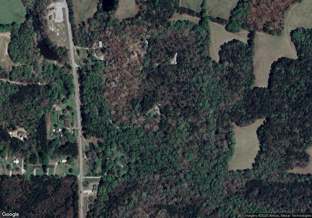
Map
Nearby Homes
- 36 Duncan Rd
- 168 Jersey Rd
- 0 Ellington Rd Unit 10609686
- 365 E Macedonia Church Rd
- 810 Northlake Cir
- 1220 Lake Stone Lea Dr
- 400 Stone Lea Trace
- 900 Stone Lea Trace
- 4932 Lower Jersey Rd SE
- 625 W Lake Dr
- 520 W Lake Dr
- 920 W Lake Dr
- 25 Clear Spring Ln Unit 2
- 130 Wesleyan Way
- 550 Oak Ridge Dr SE
- 50 Northwood Oak Dr
- 95 Wesleyan Way
- 3766 Highway 81
- 3788 Highway 81
- 3640 Highway 81
- 3672 Highway 81
- 3768 Highway 81
- 3654 Highway 81
- 3695 Highway 81
- 0 Duncan Rd Unit 7372566
- 0 Duncan Rd Unit 10283947
- 0 Duncan Rd Unit TR 1 7059097
- 0 Duncan Rd Unit 8700453
- 0 Duncan Rd Unit 8689933
- 0 Duncan Rd Unit 7470707
- 0 Duncan Rd Unit 7296959
- 0 Duncan Rd Unit 8205527
- 0 Duncan Rd Unit 7234107
- 0 Duncan Rd Unit 7153507
- 0 Duncan Rd Unit 7048374
- 0 Duncan Rd Unit 7048309
- 0 Duncan Rd Unit 3011355