3765 N Grove Rd Saint Johns, MI 48879
Estimated Value: $384,947 - $468,000
3
Beds
2
Baths
2,200
Sq Ft
$192/Sq Ft
Est. Value
About This Home
This home is located at 3765 N Grove Rd, Saint Johns, MI 48879 and is currently estimated at $421,737, approximately $191 per square foot. 3765 N Grove Rd is a home located in Clinton County with nearby schools including St. Johns High School.
Ownership History
Date
Name
Owned For
Owner Type
Purchase Details
Closed on
Jul 7, 2011
Sold by
Goerge George and Goerge Beverly
Bought by
Feldpausch Kacey D
Current Estimated Value
Home Financials for this Owner
Home Financials are based on the most recent Mortgage that was taken out on this home.
Original Mortgage
$152,000
Outstanding Balance
$105,162
Interest Rate
4.63%
Mortgage Type
New Conventional
Estimated Equity
$316,575
Purchase Details
Closed on
Jun 27, 2008
Sold by
Goerge George and Goerge Beverly
Bought by
Goerge George and Goerge Beverly
Purchase Details
Closed on
Jan 15, 2008
Sold by
Goerge George
Bought by
Goerge George
Create a Home Valuation Report for This Property
The Home Valuation Report is an in-depth analysis detailing your home's value as well as a comparison with similar homes in the area
Home Values in the Area
Average Home Value in this Area
Purchase History
| Date | Buyer | Sale Price | Title Company |
|---|---|---|---|
| Feldpausch Kacey D | $190,000 | None Available | |
| Goerge George | -- | First American Title Ins Co | |
| Goerge George | -- | None Available |
Source: Public Records
Mortgage History
| Date | Status | Borrower | Loan Amount |
|---|---|---|---|
| Open | Feldpausch Kacey D | $152,000 |
Source: Public Records
Tax History Compared to Growth
Tax History
| Year | Tax Paid | Tax Assessment Tax Assessment Total Assessment is a certain percentage of the fair market value that is determined by local assessors to be the total taxable value of land and additions on the property. | Land | Improvement |
|---|---|---|---|---|
| 2025 | $2,599 | $177,700 | $46,300 | $131,400 |
| 2024 | $1,166 | $157,400 | $31,800 | $125,600 |
| 2023 | $1,104 | $142,800 | $0 | $0 |
| 2022 | $2,351 | $136,500 | $31,800 | $104,700 |
| 2021 | $2,294 | $122,200 | $26,600 | $95,600 |
| 2020 | $2,213 | $116,800 | $24,100 | $92,700 |
| 2019 | $2,106 | $105,700 | $23,700 | $82,000 |
| 2018 | $2,084 | $101,900 | $23,700 | $78,200 |
| 2017 | -- | $102,000 | $23,700 | $78,300 |
| 2016 | -- | $96,000 | $20,500 | $75,500 |
| 2015 | -- | $89,100 | $0 | $0 |
| 2011 | -- | $81,800 | $0 | $0 |
Source: Public Records
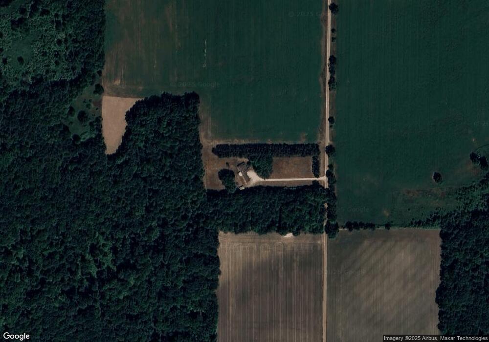
Map
Nearby Homes
- 0 W Colony Unit 286993
- 0 V/L W Colony Rd
- 5233 Paxton Rd
- 5550 Paxton Rd
- 4841 N Essex Center Rd
- 3445 W County Line Rd
- The Claire Plan at Fieldstone Village
- The Lilly Plan at Fieldstone Village
- 1630 W Kinley Rd
- 606 W Gibbs St
- 905 N Lansing St
- 608 N Morton St
- 505 Euclid St
- 823 N Lansing St
- 800 W State St
- 812 W Cass St
- 812 W Park St
- 715 N Clinton Ave
- 111 N Ottawa St
- 306 S Emmons St
- 0 W Colony Unit 224391
- 0 W Colony Rd St Unit 82253
- 0 W Colony Unit 214798
- 0 W Colony Unit 279578
- 0 W Colony Unit 276784
- 0 W Colony Unit 251842
- 0 W Colony Unit 244415
- 0 W Colony Rd St Unit 68388
- 0 W Colony Unit 241920
- 5347 W Colony Rd
- 5242 W Colony Rd
- 4409 W Colony Rd
- 4817 W Colony Rd
- 5200 W Kinley Rd
- 4733 W Colony Rd
- 4701 W Colony Rd
- 4677 W Colony Rd
- 4848 W Kinley Rd
- 4655 W Colony Rd
- 5545 W Colony Rd