--
Bed
--
Bath
2,535
Sq Ft
6.54
Acres Lot
About This Home
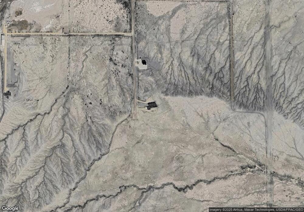
This home is located at 3765 S 1750 E, Price, UT 84501. 3765 S 1750 E is a home located in Carbon County with nearby schools including Creekview School, Mont Harmon Junior High School, and Carbon High School.
Create a Home Valuation Report for This Property
The Home Valuation Report is an in-depth analysis detailing your home's value as well as a comparison with similar homes in the area
Tax History
| Year | Tax Paid | Tax Assessment Tax Assessment Total Assessment is a certain percentage of the fair market value that is determined by local assessors to be the total taxable value of land and additions on the property. | Land | Improvement |
|---|---|---|---|---|
| 2024 | $5,366 | $397,885 | $60,607 | $337,278 |
| 2023 | $3,128 | $245,986 | $60,334 | $185,652 |
| 2022 | $2,856 | $210,439 | $24,787 | $185,652 |
| 2021 | $2,640 | $308,561 | $36,344 | $272,217 |
| 2020 | $2,314 | $138,627 | $0 | $0 |
| 2019 | $1,690 | $123,774 | $0 | $0 |
| 2018 | $1,643 | $131,326 | $0 | $0 |
| 2017 | $1,699 | $129,873 | $0 | $0 |
| 2016 | $1,520 | $129,873 | $0 | $0 |
| 2015 | $1,520 | $129,873 | $0 | $0 |
| 2014 | $1,497 | $129,873 | $0 | $0 |
| 2013 | $1,510 | $129,873 | $0 | $0 |
Source: Public Records
Map
Nearby Homes
- 3379 S 1750 E
- 950 E 3000 S Unit 1
- 276 E 3000 S
- 3367 E 4750 S
- 2267 Sego Lily Dr
- 800 W Highway Dr
- 510 W Highway Dr
- 2454 E Old Wellington Rd
- 2798 S Highway 10
- 1963 E 1700 S
- 1402 Shepherd Dr
- 1657 S 1930 E
- 446 Riverside Dr Unit 24
- 810 S 500 W
- 0 Riverside Dr Unit 42
- 1587 S 2300 E
- 100 W Cemetery Rd
- 106 E Richelman Ln
- 102 W 250 S
- 46 E Main St
Your Personal Tour Guide
Ask me questions while you tour the home.