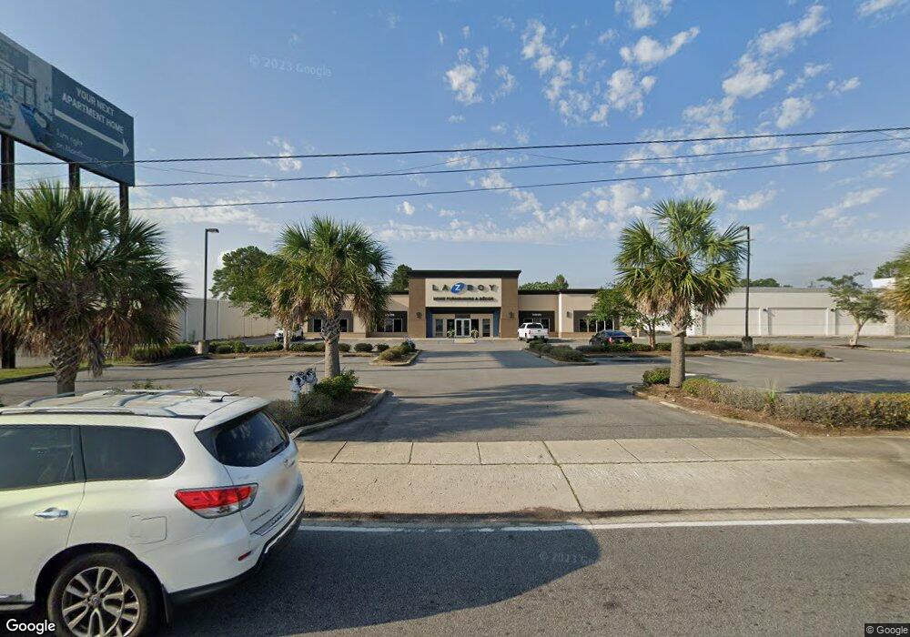
3767 Airport Blvd Mobile, AL 36608
Estimated Value: $3,615,148
--
Bed
1
Bath
34,304
Sq Ft
$105/Sq Ft
Est. Value
About This Home
This home is located at 3767 Airport Blvd, Mobile, AL 36608 and is currently estimated at $3,615,148, approximately $105 per square foot. 3767 Airport Blvd is a home located in Mobile County with nearby schools including Elizabeth Fonde Elementary School, Elizabeth S Chastang-Fournier K-8 School, and WP Davidson High School.
Ownership History
Date
Name
Owned For
Owner Type
Purchase Details
Closed on
Dec 31, 2013
Sold by
Sawyer Leasing Company Inc
Bought by
Marks Funiture 3767 Inc
Current Estimated Value
Home Financials for this Owner
Home Financials are based on the most recent Mortgage that was taken out on this home.
Original Mortgage
$1,585,000
Interest Rate
4.43%
Mortgage Type
Commercial
Purchase Details
Closed on
Mar 16, 1999
Sold by
Pan American Life Insurance Company
Bought by
Sawyer Leasing Company Inc
Create a Home Valuation Report for This Property
The Home Valuation Report is an in-depth analysis detailing your home's value as well as a comparison with similar homes in the area
Home Values in the Area
Average Home Value in this Area
Purchase History
| Date | Buyer | Sale Price | Title Company |
|---|---|---|---|
| Marks Funiture 3767 Inc | $1,865,000 | Guarantee Title Company | |
| Sawyer Leasing Company Inc | -- | -- |
Source: Public Records
Mortgage History
| Date | Status | Borrower | Loan Amount |
|---|---|---|---|
| Closed | Marks Funiture 3767 Inc | $1,585,000 |
Source: Public Records
Tax History Compared to Growth
Tax History
| Year | Tax Paid | Tax Assessment Tax Assessment Total Assessment is a certain percentage of the fair market value that is determined by local assessors to be the total taxable value of land and additions on the property. | Land | Improvement |
|---|---|---|---|---|
| 2024 | $43,728 | $682,620 | $209,120 | $473,500 |
| 2023 | $43,728 | $543,160 | $209,120 | $334,040 |
| 2022 | $32,238 | $507,680 | $101,240 | $406,440 |
| 2021 | $36,853 | $580,360 | $101,260 | $479,100 |
| 2020 | $37,680 | $593,380 | $101,260 | $492,120 |
| 2019 | $30,735 | $484,020 | $101,260 | $382,760 |
| 2018 | $31,364 | $493,920 | $0 | $0 |
| 2017 | $32,620 | $513,700 | $0 | $0 |
| 2016 | $33,170 | $522,360 | $0 | $0 |
| 2013 | $14,454 | $221,180 | $0 | $0 |
Source: Public Records
Map
Nearby Homes
- 3763 Swansea Dr
- 3792 Conway Dr S
- 201 Berwyn Dr W
- 4357 Downtowner Loop S
- 4365 Downtowner Loop S
- 812 Downtowner Loop W
- 159 Conway Dr W
- 3928 Pembrocke Ave
- 3953 Wimbledon Park
- 3755 Claridge Rd N
- 3655 Claridge Rd S
- 3806 Claridge Rd N
- 3972 Wimbledon Park
- 3983 Wimbledon Park
- 745 Westmoreland Dr E
- 502 Nantucket Cir
- 708 Spring Oaks Ct
- 365 Bourgeois Cir
- 3955 Bourgeois Dr
- 15 Spring Bank Rd S
- 3767 Airport Blvd Unit STE. A
- 3767 Airport Blvd
- 3763 Airport Blvd
- 229 Lleyn Ave
- 750 Downtowner Blvd Unit 300
- 228 Lleyn Ave
- 3819 Airport Blvd
- 225 Lleyn Ave
- 224 Lleyn Ave
- 221 Lleyn Ave
- 220 Lleyn Ave
- 217 Lleyn Ave
- 4308 Midmost Dr
- 4312 Midmost Dr Unit 20
- 4312 Midmost Dr
- 4321 Downtowner Loop N
- 216 Lleyn Ave
- 3771 Swansea Dr
- 3767 Swansea Dr
- 3763 Swansea Dr Unit 4