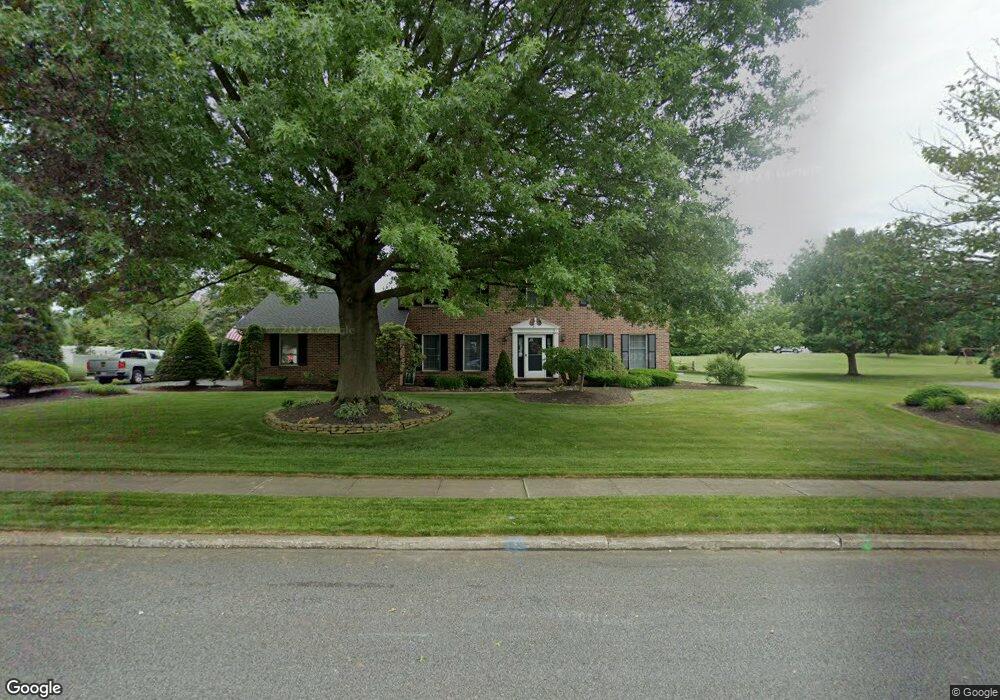
3768 Leah Dr Emmaus, PA 18049
Estimated Value: $561,000 - $627,000
4
Beds
3
Baths
2,436
Sq Ft
$243/Sq Ft
Est. Value
About This Home
This home is located at 3768 Leah Dr, Emmaus, PA 18049 and is currently estimated at $591,269, approximately $242 per square foot. 3768 Leah Dr is a home located in Lehigh County with nearby schools including Jefferson Elementary School, Lower Macungie Middle School, and Emmaus High School.
Ownership History
Date
Name
Owned For
Owner Type
Purchase Details
Closed on
Jul 9, 2004
Sold by
Falcone Lawrence F and Falcone Donna J
Bought by
Eisenhauer Dale J and Rohrbach Barbara L
Current Estimated Value
Home Financials for this Owner
Home Financials are based on the most recent Mortgage that was taken out on this home.
Original Mortgage
$170,000
Outstanding Balance
$85,096
Interest Rate
6.25%
Mortgage Type
Purchase Money Mortgage
Estimated Equity
$506,173
Purchase Details
Closed on
Apr 29, 1986
Bought by
Falcone Lawrence F and Falcone Donna J
Create a Home Valuation Report for This Property
The Home Valuation Report is an in-depth analysis detailing your home's value as well as a comparison with similar homes in the area
Home Values in the Area
Average Home Value in this Area
Purchase History
| Date | Buyer | Sale Price | Title Company |
|---|---|---|---|
| Eisenhauer Dale J | $289,900 | -- | |
| Falcone Lawrence F | $35,000 | -- |
Source: Public Records
Mortgage History
| Date | Status | Borrower | Loan Amount |
|---|---|---|---|
| Open | Eisenhauer Dale J | $170,000 |
Source: Public Records
Tax History Compared to Growth
Tax History
| Year | Tax Paid | Tax Assessment Tax Assessment Total Assessment is a certain percentage of the fair market value that is determined by local assessors to be the total taxable value of land and additions on the property. | Land | Improvement |
|---|---|---|---|---|
| 2025 | $7,953 | $311,500 | $47,100 | $264,400 |
| 2024 | $7,601 | $311,500 | $47,100 | $264,400 |
| 2023 | $7,447 | $311,500 | $47,100 | $264,400 |
| 2022 | $7,268 | $311,500 | $264,400 | $47,100 |
| 2021 | $7,112 | $311,500 | $47,100 | $264,400 |
| 2020 | $7,043 | $311,500 | $47,100 | $264,400 |
| 2019 | $7,000 | $311,500 | $47,100 | $264,400 |
| 2018 | $6,821 | $311,500 | $47,100 | $264,400 |
| 2017 | $6,700 | $311,500 | $47,100 | $264,400 |
| 2016 | -- | $311,500 | $47,100 | $264,400 |
| 2015 | -- | $311,500 | $47,100 | $264,400 |
| 2014 | -- | $311,500 | $47,100 | $264,400 |
Source: Public Records
Map
Nearby Homes
- 943 N 6th St
- 4088 Eveningstar Rd
- 3430 Gentlewind Way Unit IC 109
- 4109 Eveningstar Rd
- 3420 Gentlewind Way Unit IC 110
- 3514 Daylily Dr
- 3623 Daylily Dr
- 657 Walnut St
- 3810 Allen St
- 3149 Sheffield Dr
- 543 Long St
- 569 Chestnut St Unit 571
- 659 Broad St
- 4490 Canterbury Dr
- 4476 Stonebridge Dr
- 3703 Samantha Ln Unit Lot 70
- 3707 Samantha Ln Unit Lot 71
- 3736 Samantha Ln Unit Lot 7
- 3734 Samantha Ln Unit Lot 8
- 3748 Samantha Ln Unit Lot 3