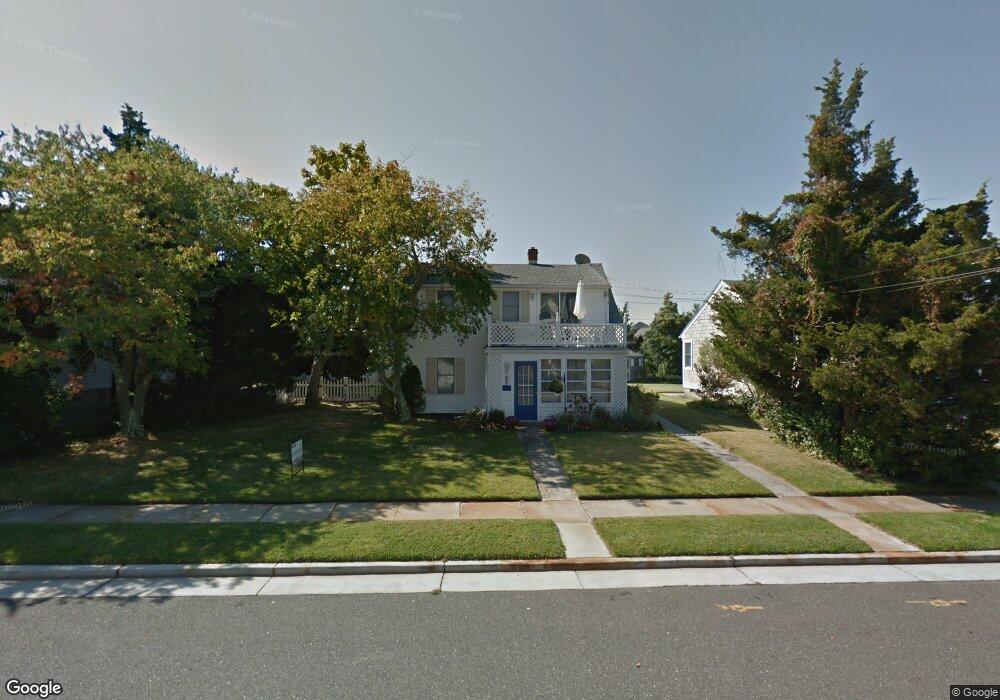
377 94th St Stone Harbor, NJ 08247
Estimated Value: $1,873,000 - $3,225,000
--
Bed
--
Bath
1,440
Sq Ft
$1,929/Sq Ft
Est. Value
About This Home
This home is located at 377 94th St, Stone Harbor, NJ 08247 and is currently estimated at $2,778,212, approximately $1,929 per square foot. 377 94th St is a home located in Cape May County with nearby schools including Stone Harbor Elementary School.
Ownership History
Date
Name
Owned For
Owner Type
Purchase Details
Closed on
Mar 18, 2013
Sold by
Raube Joseph D and Raube Dolores
Bought by
Swinburn Roger and Williams Cynthia
Current Estimated Value
Purchase Details
Closed on
Dec 16, 1996
Sold by
Kern Donald
Bought by
Raube Joseph and Raube Dolores
Home Financials for this Owner
Home Financials are based on the most recent Mortgage that was taken out on this home.
Original Mortgage
$166,000
Interest Rate
7.75%
Create a Home Valuation Report for This Property
The Home Valuation Report is an in-depth analysis detailing your home's value as well as a comparison with similar homes in the area
Home Values in the Area
Average Home Value in this Area
Purchase History
| Date | Buyer | Sale Price | Title Company |
|---|---|---|---|
| Swinburn Roger | $720,000 | Shore Title | |
| Raube Joseph | $208,000 | -- |
Source: Public Records
Mortgage History
| Date | Status | Borrower | Loan Amount |
|---|---|---|---|
| Previous Owner | Raube Joseph | $166,000 |
Source: Public Records
Tax History Compared to Growth
Tax History
| Year | Tax Paid | Tax Assessment Tax Assessment Total Assessment is a certain percentage of the fair market value that is determined by local assessors to be the total taxable value of land and additions on the property. | Land | Improvement |
|---|---|---|---|---|
| 2025 | $12,590 | $1,683,100 | $1,137,500 | $545,600 |
| 2024 | $12,590 | $1,683,100 | $1,137,500 | $545,600 |
| 2023 | $8,812 | $1,198,900 | $1,137,500 | $61,400 |
| 2022 | $8,296 | $1,198,900 | $1,137,500 | $61,400 |
| 2021 | $7,672 | $1,198,900 | $1,137,500 | $61,400 |
| 2020 | $7,313 | $1,198,900 | $1,137,500 | $61,400 |
| 2019 | $6,870 | $1,198,900 | $1,137,500 | $61,400 |
| 2018 | $6,618 | $1,198,900 | $1,137,500 | $61,400 |
| 2017 | $5,371 | $967,700 | $832,000 | $135,700 |
| 2016 | $5,177 | $967,700 | $832,000 | $135,700 |
| 2015 | $4,673 | $890,000 | $832,000 | $58,000 |
| 2014 | $4,610 | $1,165,700 | $1,040,000 | $125,700 |
Source: Public Records
Map
Nearby Homes
- 351 96th St Unit 209
- 338 99th St
- 9214 2nd Ave
- 233-235 99th St Unit E
- 10017 Corinthian Dr
- 1116 Stone Harbor Blvd Unit 101
- 9619 Seng Place
- 9903 2nd Ave
- 164 93rd St
- 270 101st St
- 215 89th St
- 252 89th St Unit NORTH
- 166 99th St
- 154 98th St
- 230 101st St Unit 1 East
- 294 88th St
- 243 87th St
- 13 93rd St Unit 5
- 144 89th St
- 246 103rd St