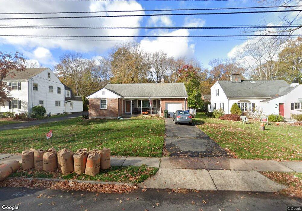
377 Auburn Rd West Hartford, CT 06119
Estimated Value: $363,000 - $619,000
2
Beds
2
Baths
1,404
Sq Ft
$346/Sq Ft
Est. Value
About This Home
This home is located at 377 Auburn Rd, West Hartford, CT 06119 and is currently estimated at $485,373, approximately $345 per square foot. 377 Auburn Rd is a home located in Hartford County with nearby schools including Morley School, King Philip Middle School, and Hall High School.
Ownership History
Date
Name
Owned For
Owner Type
Purchase Details
Closed on
Dec 18, 2017
Sold by
Gagnon Kathryn E
Bought by
Lynch Ft
Current Estimated Value
Purchase Details
Closed on
Jan 18, 2007
Sold by
Stanley G Konefal T
Bought by
Lynch Marion H
Home Financials for this Owner
Home Financials are based on the most recent Mortgage that was taken out on this home.
Original Mortgage
$110,000
Interest Rate
6.14%
Create a Home Valuation Report for This Property
The Home Valuation Report is an in-depth analysis detailing your home's value as well as a comparison with similar homes in the area
Home Values in the Area
Average Home Value in this Area
Purchase History
| Date | Buyer | Sale Price | Title Company |
|---|---|---|---|
| Lynch Ft | -- | -- | |
| Gagnon Kathryn E | -- | -- | |
| Lynch Marion H | $210,000 | -- |
Source: Public Records
Mortgage History
| Date | Status | Borrower | Loan Amount |
|---|---|---|---|
| Previous Owner | Lynch Marion H | $110,000 |
Source: Public Records
Tax History Compared to Growth
Tax History
| Year | Tax Paid | Tax Assessment Tax Assessment Total Assessment is a certain percentage of the fair market value that is determined by local assessors to be the total taxable value of land and additions on the property. | Land | Improvement |
|---|---|---|---|---|
| 2025 | $9,322 | $208,180 | $105,070 | $103,110 |
| 2024 | $8,816 | $208,180 | $105,070 | $103,110 |
| 2023 | $8,519 | $208,180 | $105,070 | $103,110 |
| 2022 | $8,469 | $208,180 | $105,070 | $103,110 |
| 2021 | $8,371 | $197,330 | $109,480 | $87,850 |
| 2020 | $7,839 | $187,530 | $102,550 | $84,980 |
| 2019 | $7,839 | $187,530 | $102,550 | $84,980 |
| 2018 | $7,689 | $187,530 | $102,550 | $84,980 |
| 2017 | $7,696 | $187,530 | $102,550 | $84,980 |
| 2016 | $7,318 | $185,220 | $89,530 | $95,690 |
| 2015 | $7,096 | $185,220 | $89,530 | $95,690 |
| 2014 | $6,922 | $185,220 | $89,530 | $95,690 |
Source: Public Records
Map
Nearby Homes
- 1272 Trout Brook Dr
- 11 Lawler Rd
- 3 Pilgrim Rd
- 237 Fern St Unit 314
- 1993 Albany Ave
- 105 Ardmore Rd
- 320 N Steele Rd
- 48 Walkley Rd
- 1110 Trout Brook Dr
- 59 Milton St
- 132 N Main St
- 5 Adams Ln
- 16 Lilley Rd
- 54 Robin Rd Unit B2
- 5 Northmoor Rd
- 276 Oxford St Unit 278
- 260 Oxford St Unit 262
- 183 Loomis Dr Unit 109
- 869 Farmington Ave Unit 305
- 1006A Trout Brook Dr Unit 1006A
- 383 Auburn Rd
- 373 Auburn Rd
- 367 Auburn Rd
- 320 Cumberland Rd
- 326 Cumberland Rd
- 391 Auburn Rd
- 380 Auburn Rd
- 316 Cumberland Rd
- 330 Cumberland Rd
- 310 Cumberland Rd
- 361 Auburn Rd
- 336 Cumberland Rd
- 366 Auburn Rd
- 17 Pine Rd
- 397 Auburn Rd
- 355 Auburn Rd
- 394 Auburn Rd
- 342 Cumberland Rd
- 15 Pine Rd
- 302 Cumberland Rd