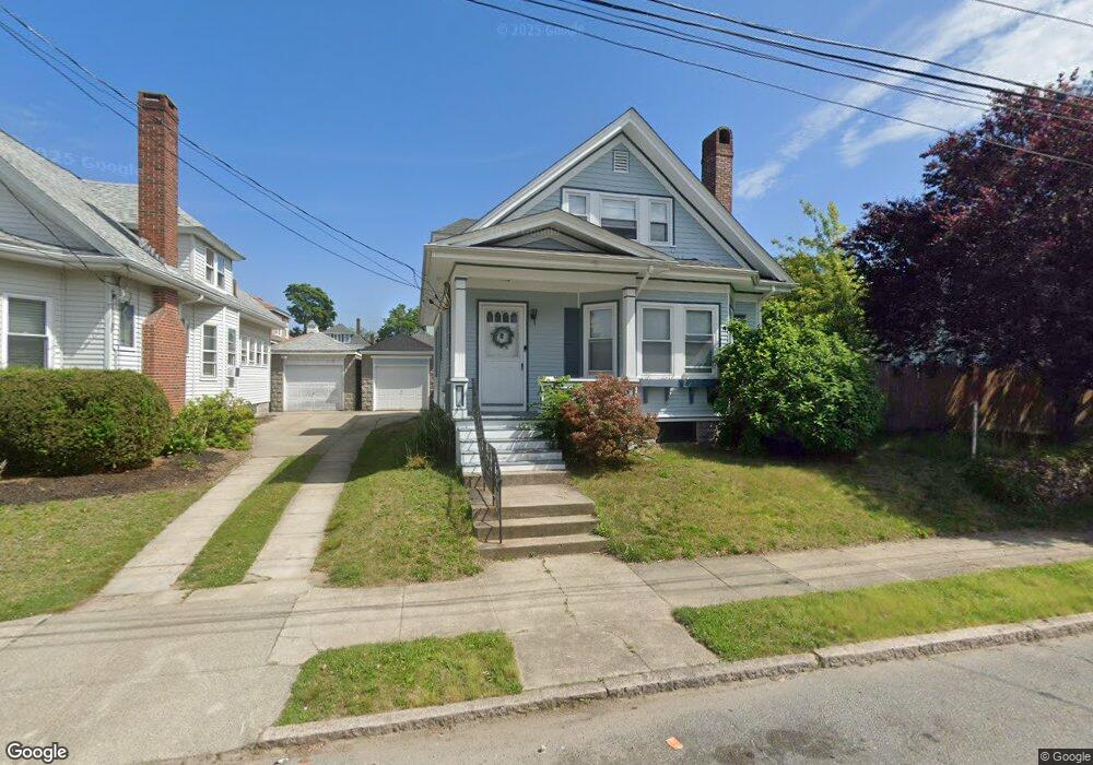
377 Bedford St New Bedford, MA 02740
Downtown New Bedford NeighborhoodEstimated Value: $388,000 - $453,000
3
Beds
2
Baths
1,308
Sq Ft
$319/Sq Ft
Est. Value
About This Home
This home is located at 377 Bedford St, New Bedford, MA 02740 and is currently estimated at $417,255, approximately $319 per square foot. 377 Bedford St is a home located in Bristol County with nearby schools including Betsey B. Winslow Elementary School, Keith Middle School, and New Bedford High School.
Ownership History
Date
Name
Owned For
Owner Type
Purchase Details
Closed on
Jun 30, 2017
Sold by
Dupuis Katherine and Nanopoulos Andrew
Bought by
Sloan Michael K and Sloan Stephanie M
Current Estimated Value
Home Financials for this Owner
Home Financials are based on the most recent Mortgage that was taken out on this home.
Original Mortgage
$149,600
Outstanding Balance
$75,573
Interest Rate
3.27%
Mortgage Type
New Conventional
Estimated Equity
$341,682
Create a Home Valuation Report for This Property
The Home Valuation Report is an in-depth analysis detailing your home's value as well as a comparison with similar homes in the area
Home Values in the Area
Average Home Value in this Area
Purchase History
| Date | Buyer | Sale Price | Title Company |
|---|---|---|---|
| Sloan Michael K | $187,000 | -- | |
| Sloan Michael K | $187,000 | -- |
Source: Public Records
Mortgage History
| Date | Status | Borrower | Loan Amount |
|---|---|---|---|
| Open | Sloan Michael K | $149,600 | |
| Closed | Sloan Michael K | $149,600 |
Source: Public Records
Tax History Compared to Growth
Tax History
| Year | Tax Paid | Tax Assessment Tax Assessment Total Assessment is a certain percentage of the fair market value that is determined by local assessors to be the total taxable value of land and additions on the property. | Land | Improvement |
|---|---|---|---|---|
| 2025 | $3,847 | $340,100 | $103,700 | $236,400 |
| 2024 | $3,595 | $299,600 | $98,800 | $200,800 |
| 2023 | $3,724 | $260,600 | $88,400 | $172,200 |
| 2022 | $3,450 | $222,000 | $84,200 | $137,800 |
| 2021 | $7,213 | $215,300 | $84,200 | $131,100 |
| 2020 | $3,474 | $215,000 | $87,500 | $127,500 |
| 2019 | $2,655 | $203,100 | $89,100 | $114,000 |
| 2018 | $3,447 | $207,300 | $89,100 | $118,200 |
| 2017 | $6,059 | $195,200 | $89,100 | $106,100 |
| 2016 | $3,028 | $183,600 | $84,200 | $99,400 |
| 2015 | $2,875 | $182,800 | $87,500 | $95,300 |
| 2014 | $2,764 | $182,300 | $89,100 | $93,200 |
Source: Public Records
Map
Nearby Homes
- 383 Bedford St
- 363 Bedford St
- 32 Ryan St Unit 34
- 32-34 Ryan St
- 389 Bedford St
- 36 Ryan St
- 26 Ryan St
- 374-376 Bedford St
- 374 Bedford St Unit 376
- 378 Bedford St Unit 380
- 361 Bedford St
- 368 Bedford St Unit 370
- 22 Ryan St
- 42 Ryan St Unit 44
- 384 Bedford St Unit 386
- 393 Bedford St
- 390 Bedford St
- 18 Ryan St
- 362 Bedford St
- 46 Ryan St