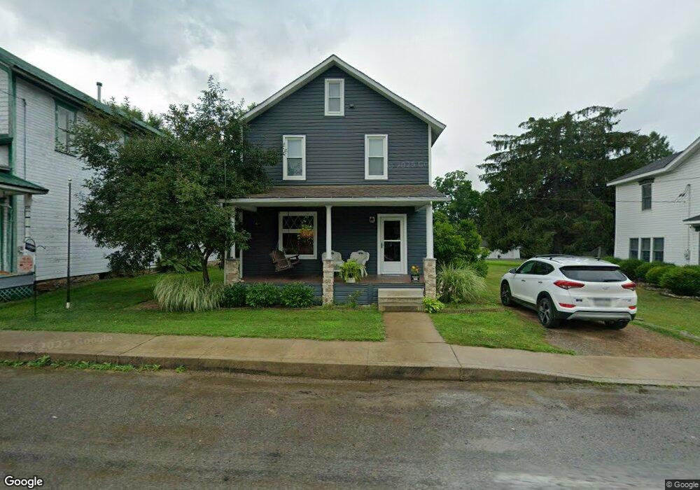
377 Coolspring Rd Coolspring, PA 15730
Estimated Value: $101,682 - $113,000
Studio
--
Bath
646
Sq Ft
$165/Sq Ft
Est. Value
About This Home
This home is located at 377 Coolspring Rd, Coolspring, PA 15730 and is currently estimated at $106,421, approximately $164 per square foot. 377 Coolspring Rd is a home located in Jefferson County with nearby schools including Punxsutawney Area High School.
Ownership History
Date
Name
Owned For
Owner Type
Purchase Details
Closed on
May 4, 2007
Sold by
Brownlee Michael A and Brownlee Alison B
Bought by
Brownlee Michael A and Brownlee Alison B
Current Estimated Value
Purchase Details
Closed on
Jul 13, 2005
Sold by
Shaffer Thomas E and Shaffer Kelly L
Bought by
Brownlee Michael A
Home Financials for this Owner
Home Financials are based on the most recent Mortgage that was taken out on this home.
Original Mortgage
$62,900
Outstanding Balance
$32,686
Interest Rate
5.59%
Mortgage Type
New Conventional
Estimated Equity
$73,735
Create a Home Valuation Report for This Property
The Home Valuation Report is an in-depth analysis detailing your home's value as well as a comparison with similar homes in the area
Purchase History
| Date | Buyer | Sale Price | Title Company |
|---|---|---|---|
| Brownlee Michael A | -- | None Available | |
| Brownlee Michael A | $69,900 | None Available |
Source: Public Records
Mortgage History
| Date | Status | Borrower | Loan Amount |
|---|---|---|---|
| Open | Brownlee Michael A | $62,900 |
Source: Public Records
Tax History
| Year | Tax Paid | Tax Assessment Tax Assessment Total Assessment is a certain percentage of the fair market value that is determined by local assessors to be the total taxable value of land and additions on the property. | Land | Improvement |
|---|---|---|---|---|
| 2025 | $765 | $18,740 | $1,200 | $17,540 |
| 2024 | $748 | $18,740 | $1,200 | $17,540 |
| 2023 | $748 | $18,740 | $1,200 | $17,540 |
| 2022 | $751 | $18,740 | $1,200 | $17,540 |
| 2021 | $750 | $18,740 | $1,200 | $17,540 |
| 2020 | $753 | $18,740 | $1,200 | $17,540 |
| 2019 | $750 | $18,740 | $1,200 | $17,540 |
| 2018 | $736 | $18,740 | $1,200 | $17,540 |
| 2017 | $733 | $18,740 | $1,200 | $17,540 |
| 2016 | $726 | $18,740 | $1,200 | $17,540 |
| 2015 | -- | $18,740 | $1,200 | $17,540 |
| 2012 | -- | $18,740 | $1,200 | $17,540 |
Source: Public Records
Map
Nearby Homes
- 000 Kunselman Rd
- 00 Kunselman Rd
- 00-00 Kunselman Rd
- 131 Main St
- 00 Barton Chapel Rd
- 11 Parks Rd
- 5025 Pennsylvania 36
- 845 Mottern Rd
- 00 Shields Rd
- 595 Wachob Dr
- 11 Boddorf Rd
- 167 Mcquown Rd
- 90 Perry Way
- 12607 Pennsylvania 536
- 2021 Rd
- 68 Sandy Hill Rd
- 680 Route 536
- 668 Route 536
- 658 Route 536
- 000 Robinson St
- 355 Coolspring Rd
- 369 Coolspring Rd
- 389 Coolspring Rd
- 339 Coolspring Rd
- 327 Coolspring Rd
- 336 Coolspring Rd
- 314 Coolspring Rd
- 36 Belshazzar Rd
- 285 Coolspring Rd
- 298 Coolspring Rd
- 280 Coolspring Rd
- 277 Coolspring Rd
- 72 Belshazzar Rd
- 72 Belshazzar Rd
- 255 Coolspring Rd
- 31 Kunselman Rd
- 559 Coolspring Rd
- 272 Coolspring Rd
- 248 Coolspring Rd
- 231 Coolspring Rd