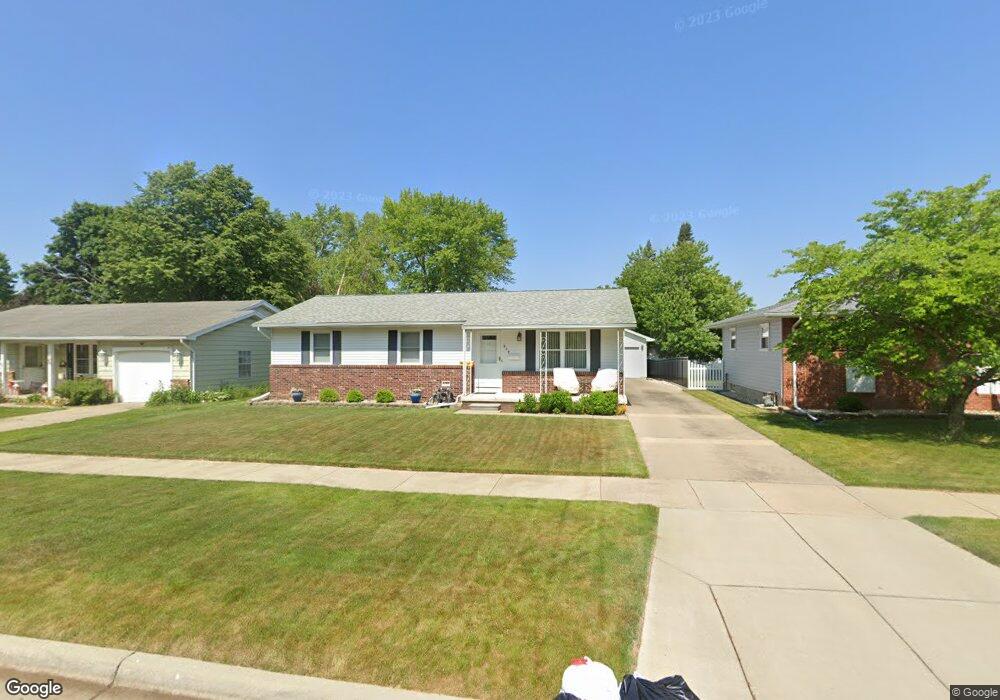
377 Cranbrook Blvd Monroe, MI 48162
Northwest Monroe NeighborhoodEstimated Value: $218,592 - $269,000
3
Beds
2
Baths
1,144
Sq Ft
$217/Sq Ft
Est. Value
About This Home
This home is located at 377 Cranbrook Blvd, Monroe, MI 48162 and is currently estimated at $248,148, approximately $216 per square foot. 377 Cranbrook Blvd is a home located in Monroe County with nearby schools including Monroe High School, St Mary's Catholic Elementary School, and St Michaels Catholic Elementary School.
Ownership History
Date
Name
Owned For
Owner Type
Purchase Details
Closed on
Jan 25, 2021
Sold by
Edwards Dewey
Bought by
Edwards Dewey and Kirshman Deborah L
Current Estimated Value
Purchase Details
Closed on
Dec 9, 1998
Sold by
Trst Nancy Wardell
Bought by
Edwards Dewey
Home Financials for this Owner
Home Financials are based on the most recent Mortgage that was taken out on this home.
Original Mortgage
$90,000
Interest Rate
6.96%
Mortgage Type
New Conventional
Create a Home Valuation Report for This Property
The Home Valuation Report is an in-depth analysis detailing your home's value as well as a comparison with similar homes in the area
Home Values in the Area
Average Home Value in this Area
Purchase History
| Date | Buyer | Sale Price | Title Company |
|---|---|---|---|
| Edwards Dewey | -- | None Listed On Document | |
| Edwards Dewey | $126,000 | -- |
Source: Public Records
Mortgage History
| Date | Status | Borrower | Loan Amount |
|---|---|---|---|
| Previous Owner | Edwards Dewey | $90,000 |
Source: Public Records
Tax History
| Year | Tax Paid | Tax Assessment Tax Assessment Total Assessment is a certain percentage of the fair market value that is determined by local assessors to be the total taxable value of land and additions on the property. | Land | Improvement |
|---|---|---|---|---|
| 2025 | $2,389 | $115,200 | $115,200 | $0 |
| 2024 | $2,281 | $108,450 | $0 | $0 |
| 2023 | $2,181 | $84,610 | $0 | $0 |
| 2022 | $2,914 | $84,610 | $0 | $0 |
| 2021 | $2,806 | $75,830 | $0 | $0 |
| 2020 | $2,614 | $69,600 | $0 | $0 |
| 2019 | $2,477 | $69,600 | $0 | $0 |
| 2018 | $2,407 | $66,770 | $0 | $0 |
| 2017 | $2,357 | $66,770 | $0 | $0 |
| 2016 | $2,138 | $61,960 | $0 | $0 |
| 2015 | $2,051 | $55,180 | $0 | $0 |
| 2014 | $2,051 | $55,180 | $0 | $0 |
| 2013 | -- | $54,540 | $0 | $0 |
Source: Public Records
Map
Nearby Homes
- 381 Armitage Dr
- 510 Ave de Lafayette
- 202 Orleans Ave
- 720 Saint Anne Ln
- 568 Rose Crest Blvd
- 457 Donnalee Dr
- 734 Central Park Blvd
- 0 S Custer Lot B Rd
- 0 S Custer Lot A Rd
- 0 S Custer Lot C Rd
- 540 S Concetta Common
- 1910 S Custer Rd
- 1724 S Custer Rd
- 1015 Donnalee Dr
- 1851 Erie St
- 1703 S Custer Rd
- 2742 S Custer Rd
- 0 N Telegraph Rd Unit 31361948
- 0 N Telegraph Rd Unit 20230102531
- 0 N Telegraph Rd Unit 50199091
- 371 Cranbrook Blvd
- 383 Cranbrook Blvd
- 370 Crampton Dr
- 365 Cranbrook Blvd
- 389 Cranbrook Blvd
- 376 Crampton Dr
- 364 Crampton Dr
- 359 Cranbrook Blvd
- 382 Crampton Dr
- 358 Crampton Dr
- 378 Cranbrook Blvd
- 374 Cranbrook Blvd
- 368 Cranbrook Blvd
- 353 Cranbrook Blvd
- 384 Cranbrook Blvd
- 390 Cranbrook Blvd
- 352 Crampton Dr
- 360 Cranbrook Blvd
- 346 Crampton Dr
- 354 Cranbrook Blvd
Your Personal Tour Guide
Ask me questions while you tour the home.