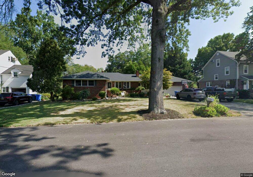
377 Franklin Rd North Brunswick, NJ 08902
Estimated Value: $693,000 - $776,000
3
Beds
3
Baths
1,979
Sq Ft
$364/Sq Ft
Est. Value
About This Home
This home is located at 377 Franklin Rd, North Brunswick, NJ 08902 and is currently estimated at $720,346, approximately $363 per square foot. 377 Franklin Rd is a home located in Middlesex County with nearby schools including Arthur M. Judd Elementary School, Linwood Middle School, and North Brunswick Twp High School.
Ownership History
Date
Name
Owned For
Owner Type
Purchase Details
Closed on
Mar 18, 2011
Sold by
Palgione Susan M and Valentino Susan M
Bought by
Socio Carlos and Socio Deborah
Current Estimated Value
Home Financials for this Owner
Home Financials are based on the most recent Mortgage that was taken out on this home.
Original Mortgage
$346,500
Interest Rate
4.94%
Mortgage Type
New Conventional
Create a Home Valuation Report for This Property
The Home Valuation Report is an in-depth analysis detailing your home's value as well as a comparison with similar homes in the area
Home Values in the Area
Average Home Value in this Area
Purchase History
| Date | Buyer | Sale Price | Title Company |
|---|---|---|---|
| Socio Carlos | $385,000 | First American Title Ins Co |
Source: Public Records
Mortgage History
| Date | Status | Borrower | Loan Amount |
|---|---|---|---|
| Previous Owner | Socio Carlos | $346,500 |
Source: Public Records
Tax History Compared to Growth
Tax History
| Year | Tax Paid | Tax Assessment Tax Assessment Total Assessment is a certain percentage of the fair market value that is determined by local assessors to be the total taxable value of land and additions on the property. | Land | Improvement |
|---|---|---|---|---|
| 2025 | $12,989 | $205,000 | $70,000 | $135,000 |
| 2024 | $12,755 | $205,000 | $70,000 | $135,000 |
| 2023 | $12,755 | $205,000 | $70,000 | $135,000 |
| 2022 | $12,321 | $205,000 | $70,000 | $135,000 |
| 2021 | $8,977 | $205,000 | $70,000 | $135,000 |
| 2020 | $11,861 | $205,000 | $70,000 | $135,000 |
| 2019 | $11,619 | $205,000 | $70,000 | $135,000 |
| 2018 | $11,382 | $205,000 | $70,000 | $135,000 |
| 2017 | $11,181 | $205,000 | $70,000 | $135,000 |
| 2016 | $10,947 | $205,000 | $70,000 | $135,000 |
| 2015 | $10,760 | $205,000 | $70,000 | $135,000 |
| 2014 | $10,640 | $205,000 | $70,000 | $135,000 |
Source: Public Records
Map
Nearby Homes
- 386 Franklin Rd
- 422 Franklin Rd
- 1123 N Boyd Pkwy
- 1088 S Boyd Pkwy
- 1290 Barkley Place N
- 41 Lynn Ct
- 303 Constitution Cir
- 334 Constitution Cir
- 910 Curtis Place
- 2 Kohlhepp Ave
- 276 Constitution Cir
- 2 Silver Hollow
- 32 Lafayette Ct
- 224 Pennsylvania Way
- 149 Pennsylvania Way
- 796 Curie Rd
- 63 Pennsylvania Way
- 18 Harrison Ave
- 89 Pennsylvania Way
- 457 Barrymore Place
- 385 Franklin Rd
- 369 Franklin Rd
- 370 Franklin Rd
- 376 Independence Blvd
- 395 Franklin Rd
- 386 Independence Blvd
- 390 Independence Blvd
- 394 Franklin Rd
- 333 Franklin Rd
- 373 Huff Rd
- 379 Huff Rd
- 410 Independence Blvd
- 385 Independence Blvd
- 402 Franklin Rd
- 385 Huff Rd
- 346 Franklin Rd
- 350 Independence Blvd
- 401 Huff Rd
- 375 Independence Blvd
- 1190 Williamson Rd