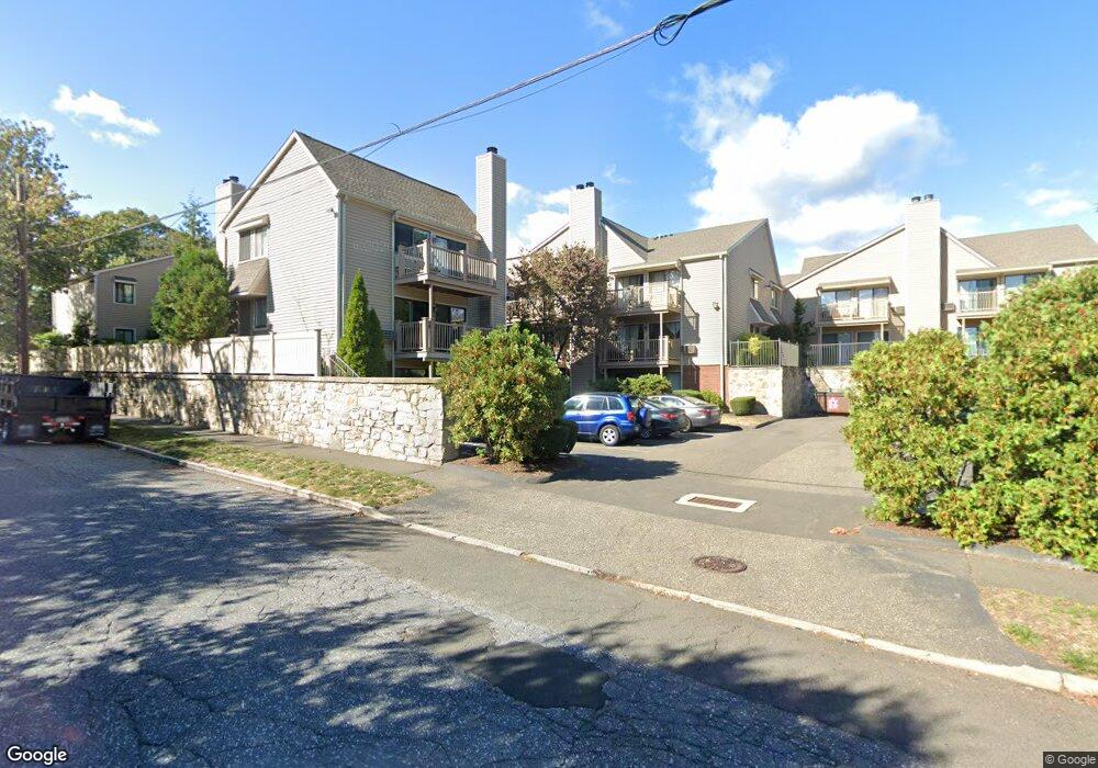
377 Glenbrook Rd Unit 18 Stamford, CT 06906
Glenbrook NeighborhoodEstimated Value: $459,182 - $504,000
2
Beds
2
Baths
1,350
Sq Ft
$359/Sq Ft
Est. Value
About This Home
This home is located at 377 Glenbrook Rd Unit 18, Stamford, CT 06906 and is currently estimated at $484,046, approximately $358 per square foot. 377 Glenbrook Rd Unit 18 is a home located in Fairfield County with nearby schools including Julia A. Stark Elementary School, Rippowam Middle School, and Stamford High School.
Ownership History
Date
Name
Owned For
Owner Type
Purchase Details
Closed on
Sep 14, 1998
Sold by
Whinston Leona H
Bought by
Nevins Amy B
Current Estimated Value
Home Financials for this Owner
Home Financials are based on the most recent Mortgage that was taken out on this home.
Original Mortgage
$148,500
Interest Rate
6.92%
Create a Home Valuation Report for This Property
The Home Valuation Report is an in-depth analysis detailing your home's value as well as a comparison with similar homes in the area
Home Values in the Area
Average Home Value in this Area
Purchase History
| Date | Buyer | Sale Price | Title Company |
|---|---|---|---|
| Nevins Amy B | $165,000 | -- |
Source: Public Records
Mortgage History
| Date | Status | Borrower | Loan Amount |
|---|---|---|---|
| Open | Nevins Amy B | $180,000 | |
| Closed | Nevins Amy B | $148,500 |
Source: Public Records
Tax History Compared to Growth
Tax History
| Year | Tax Paid | Tax Assessment Tax Assessment Total Assessment is a certain percentage of the fair market value that is determined by local assessors to be the total taxable value of land and additions on the property. | Land | Improvement |
|---|---|---|---|---|
| 2025 | $5,038 | $212,940 | $0 | $212,940 |
| 2024 | $4,927 | $212,940 | $0 | $212,940 |
| 2023 | $5,294 | $212,940 | $0 | $212,940 |
| 2022 | $5,075 | $189,800 | $0 | $189,800 |
| 2021 | $5,020 | $189,800 | $0 | $189,800 |
| 2020 | $4,891 | $189,800 | $0 | $189,800 |
| 2019 | $4,891 | $189,800 | $0 | $189,800 |
| 2018 | $4,711 | $189,800 | $0 | $189,800 |
| 2017 | $5,726 | $220,220 | $0 | $220,220 |
| 2016 | $5,565 | $220,220 | $0 | $220,220 |
| 2015 | $5,420 | $220,220 | $0 | $220,220 |
| 2014 | $5,239 | $220,220 | $0 | $220,220 |
Source: Public Records
Map
Nearby Homes
- 8 Windell Place
- 29 Pierce Place
- 45 Scofield Ave
- 49 Morris St
- 53 Morris St
- 100 Hope St Unit 8
- 52 Penzance Rd
- 223 Glenbrook Rd
- 30 Lenox Ave
- 151 Courtland Ave Unit 1
- 406 Courtland Ave Unit D
- 94 Clovelly Rd
- 75 Coolidge Ave
- 49 Plymouth Rd
- 88 Pine Hill Ave
- 76 Plymouth Rd
- 30 Maple Tree Ave Unit D
- 102 Pine Hill Ave Unit A2
- 287 Hamilton Ave Unit 5A
- 90 Courtland Hill St
- 377 Glenbrook Rd Unit 19
- 377 Glenbrook Rd Unit 17
- 377 Glenbrook Rd Unit 16
- 377 Glenbrook Rd Unit 14
- 377 Glenbrook Rd Unit 13
- 377 Glenbrook Rd Unit 12
- 377 Glenbrook Rd Unit 11
- 377 Glenbrook Rd Unit 10
- 377 Glenbrook Rd Unit 9
- 377 Glenbrook Rd Unit 8
- 377 Glenbrook Rd Unit 7
- 377 Glenbrook Rd Unit 6
- 377 Glenbrook Rd Unit 5
- 377 Glenbrook Rd Unit 4
- 377 Glenbrook Rd Unit 3
- 377 Glenbrook Rd Unit 2
- 377 Glenbrook Rd Unit 1
- 377 Glenbrook Rd
- 389 Glenbrook Rd
- 389 Glenbrook Rd Unit 2