377 Grapevine Rd Wharton, WV 25208
Estimated Value: $60,000 - $75,000
3
Beds
2
Baths
1,400
Sq Ft
$49/Sq Ft
Est. Value
About This Home
This home is located at 377 Grapevine Rd, Wharton, WV 25208 and is currently estimated at $69,290, approximately $49 per square foot. 377 Grapevine Rd is a home.
Ownership History
Date
Name
Owned For
Owner Type
Purchase Details
Closed on
Dec 10, 2024
Sold by
Smith Denvil G and Keeney Charles R
Bought by
Frame James Logan Shadow
Current Estimated Value
Home Financials for this Owner
Home Financials are based on the most recent Mortgage that was taken out on this home.
Original Mortgage
$53,350
Outstanding Balance
$52,833
Interest Rate
6.78%
Mortgage Type
New Conventional
Estimated Equity
$16,457
Purchase Details
Closed on
Feb 23, 2007
Sold by
Ison Patricia K and Stevens Mary Helen
Bought by
Smith Denvil G and Smith \Brenda S
Create a Home Valuation Report for This Property
The Home Valuation Report is an in-depth analysis detailing your home's value as well as a comparison with similar homes in the area
Home Values in the Area
Average Home Value in this Area
Purchase History
| Date | Buyer | Sale Price | Title Company |
|---|---|---|---|
| Frame James Logan Shadow | $55,000 | None Listed On Document | |
| Frame James Logan Shadow | $55,000 | None Listed On Document | |
| Smith Denvil G | -- | -- |
Source: Public Records
Mortgage History
| Date | Status | Borrower | Loan Amount |
|---|---|---|---|
| Open | Frame James Logan Shadow | $53,350 |
Source: Public Records
Tax History Compared to Growth
Tax History
| Year | Tax Paid | Tax Assessment Tax Assessment Total Assessment is a certain percentage of the fair market value that is determined by local assessors to be the total taxable value of land and additions on the property. | Land | Improvement |
|---|---|---|---|---|
| 2025 | $412 | $32,880 | $3,120 | $29,760 |
| 2024 | $412 | $33,240 | $3,120 | $30,120 |
| 2023 | $164 | $29,040 | $3,120 | $25,920 |
| 2022 | $88 | $26,940 | $3,120 | $23,820 |
| 2021 | $0 | $18,540 | $3,120 | $15,420 |
| 2020 | $0 | $18,540 | $3,120 | $15,420 |
| 2019 | $0 | $16,920 | $3,120 | $13,800 |
| 2018 | $0 | $15,480 | $3,120 | $12,360 |
| 2017 | $0 | $14,520 | $3,120 | $11,400 |
| 2016 | -- | $13,620 | $3,120 | $10,500 |
| 2015 | -- | $12,780 | $3,120 | $9,660 |
| 2014 | -- | $11,340 | $1,380 | $9,960 |
Source: Public Records
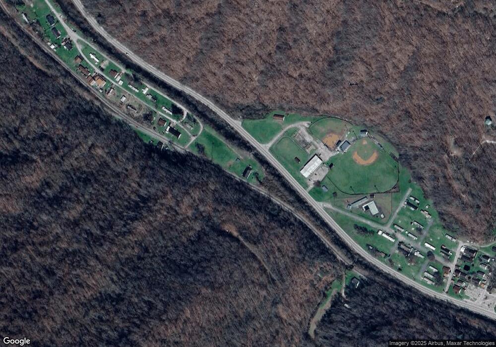
Map
Nearby Homes
- 41 Flat Top Camp Rd
- 23836 Pond Fork Rd
- 23336 Pond Fork Rd
- 20265 Pond Fork Rd
- 0 Pond Fork Rd
- 23601 Spruce River Rd
- 345 Stollings St
- 102 Rich Ave
- 112 Tranquil Ct
- 22143 Spruce River Rd
- 240 Dingess Fork
- 64 Greenleaf Ln
- 1315 Drew Creek
- 7518 Coal River Rd
- 0 Spruce Fork Unit 11581337
- 3822 Seng Creek Rd
- 686 Branham Heights Rd
- 0 Cyclone Unit 93028
- 1126 Drews Creek
- 2075 Hewett Creek Rd
- 456 Grapevine Rd
- 961 Grapevine Rd
- 132 Grapevine Rd
- 370 Ritters Camp Rd
- 66 Grapevine Rd
- 221 Lauren Cir
- 259 Lauren Cir
- 315 Lauren Cir
- 279 Lauren Cir
- 299 Lauren Cir
- 335 Lauren Cir
- 137 Lauren Cir
- 71 Lauren Cir
- 47 Lauren Cir
- 73 Lauren Cir
- 144 Ritters Camp Rd
- 36 Garwood Ln
- 80 Garwood Ln
- 58 Barrett Cir
- 51 Marlen Ln