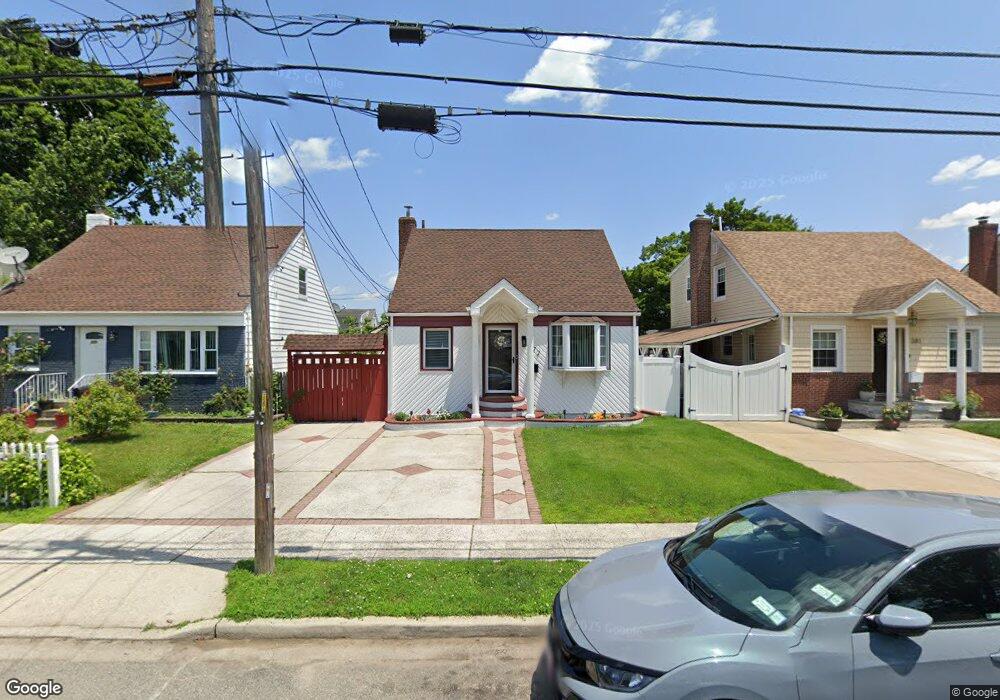
377 Locust Ave Uniondale, NY 11553
Estimated Value: $537,834 - $658,000
--
Bed
1
Bath
1,120
Sq Ft
$534/Sq Ft
Est. Value
About This Home
This home is located at 377 Locust Ave, Uniondale, NY 11553 and is currently estimated at $597,917, approximately $533 per square foot. 377 Locust Ave is a home located in Nassau County with nearby schools including Walnut Street Elementary School, Turtle Hook Middle School, and Uniondale High School.
Ownership History
Date
Name
Owned For
Owner Type
Purchase Details
Closed on
Apr 10, 2024
Sold by
Lenis Bernardo and Lenis Miryam E
Bought by
Lenis Chandon Michelle and Chandon Maurice Barrington
Current Estimated Value
Purchase Details
Closed on
May 18, 2005
Sold by
Lenis Bernardo
Purchase Details
Closed on
May 8, 1995
Sold by
Hettrich Patricia
Bought by
Lenis Bernardo and Lenis Miryam
Home Financials for this Owner
Home Financials are based on the most recent Mortgage that was taken out on this home.
Original Mortgage
$128,323
Interest Rate
8.31%
Mortgage Type
Purchase Money Mortgage
Create a Home Valuation Report for This Property
The Home Valuation Report is an in-depth analysis detailing your home's value as well as a comparison with similar homes in the area
Home Values in the Area
Average Home Value in this Area
Purchase History
| Date | Buyer | Sale Price | Title Company |
|---|---|---|---|
| Lenis Chandon Michelle | -- | Title America Land Svcs Inc | |
| Lenis Chandon Michelle | -- | Title America Land Svcs Inc | |
| -- | -- | -- | |
| -- | -- | -- | |
| Lenis Bernardo | $129,000 | -- | |
| Lenis Bernardo | $129,000 | -- |
Source: Public Records
Mortgage History
| Date | Status | Borrower | Loan Amount |
|---|---|---|---|
| Closed | Lenis Bernardo | $128,323 |
Source: Public Records
Tax History Compared to Growth
Tax History
| Year | Tax Paid | Tax Assessment Tax Assessment Total Assessment is a certain percentage of the fair market value that is determined by local assessors to be the total taxable value of land and additions on the property. | Land | Improvement |
|---|---|---|---|---|
| 2025 | $7,547 | $366 | $119 | $247 |
| 2024 | $2,945 | $366 | $119 | $247 |
| 2023 | $6,611 | $366 | $119 | $247 |
| 2022 | $6,611 | $366 | $119 | $247 |
| 2021 | $8,702 | $348 | $113 | $235 |
| 2020 | $6,743 | $536 | $448 | $88 |
| 2019 | $6,534 | $536 | $448 | $88 |
| 2018 | $6,171 | $536 | $0 | $0 |
| 2017 | $3,282 | $536 | $448 | $88 |
| 2016 | $5,889 | $536 | $448 | $88 |
| 2015 | $2,442 | $536 | $448 | $88 |
| 2014 | $2,442 | $536 | $448 | $88 |
| 2013 | $2,358 | $536 | $448 | $88 |
Source: Public Records
Map
Nearby Homes
- 388 Maplegrove Ave
- 335 Locust Ave
- 737 Lowell Rd
- 641 Lowell Rd
- 730 Goodrich St
- 666 Lowell Rd
- 727 Beck St
- 692 Beck St
- 1033 Tulsa St
- 546 Clark Place
- 727 Windsor Rd
- 537 Duryea Ave
- 159 Gilroy Ave
- 571 Richmond Rd
- 117 Spring Dr
- 121 Spring Dr
- 133 Spring Dr
- 331 Spring Dr
- 1474 Stephen Marc Ln
- 383 Summer Ct Unit C383