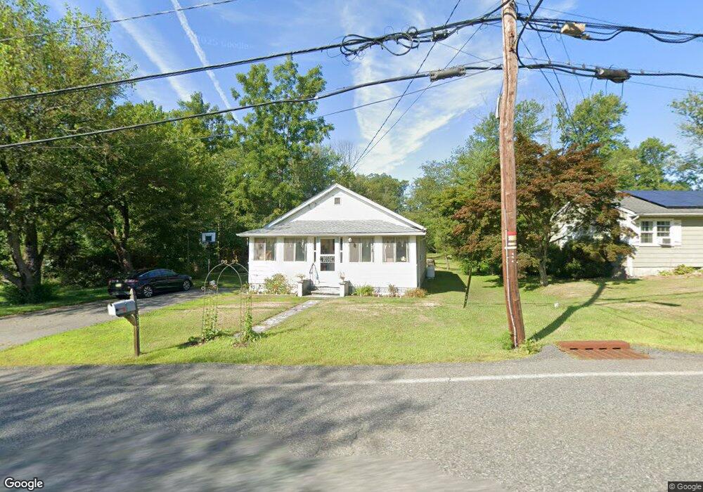
377 MacOpin Rd West Milford, NJ 07480
Estimated Value: $268,000 - $449,000
--
Bed
--
Bath
1,004
Sq Ft
$331/Sq Ft
Est. Value
About This Home
This home is located at 377 MacOpin Rd, West Milford, NJ 07480 and is currently estimated at $332,676, approximately $331 per square foot. 377 MacOpin Rd is a home located in Passaic County with nearby schools including Macopin Middle School, West Milford High School, and Apple Montessori Schools and Camps - Kinnelon.
Ownership History
Date
Name
Owned For
Owner Type
Purchase Details
Closed on
Apr 25, 2001
Sold by
Gregory Vanorden
Bought by
Petrasek Fred
Current Estimated Value
Home Financials for this Owner
Home Financials are based on the most recent Mortgage that was taken out on this home.
Original Mortgage
$60,000
Outstanding Balance
$21,838
Interest Rate
6.85%
Estimated Equity
$310,838
Create a Home Valuation Report for This Property
The Home Valuation Report is an in-depth analysis detailing your home's value as well as a comparison with similar homes in the area
Home Values in the Area
Average Home Value in this Area
Purchase History
| Date | Buyer | Sale Price | Title Company |
|---|---|---|---|
| Petrasek Fred | $88,000 | -- | |
| Petrasek Fred | $88,000 | -- |
Source: Public Records
Mortgage History
| Date | Status | Borrower | Loan Amount |
|---|---|---|---|
| Open | Petrasek Fred | $60,000 | |
| Closed | Petrasek Fred | $60,000 |
Source: Public Records
Tax History Compared to Growth
Tax History
| Year | Tax Paid | Tax Assessment Tax Assessment Total Assessment is a certain percentage of the fair market value that is determined by local assessors to be the total taxable value of land and additions on the property. | Land | Improvement |
|---|---|---|---|---|
| 2025 | $6,122 | $151,000 | $68,700 | $82,300 |
| 2024 | $6,153 | $151,000 | $68,700 | $82,300 |
| 2022 | $5,841 | $151,000 | $68,700 | $82,300 |
| 2021 | $5,715 | $151,000 | $68,700 | $82,300 |
| 2020 | $5,655 | $151,000 | $68,700 | $82,300 |
| 2019 | $5,579 | $151,000 | $68,700 | $82,300 |
| 2018 | $5,566 | $151,000 | $68,700 | $82,300 |
| 2017 | $5,592 | $151,000 | $68,700 | $82,300 |
| 2016 | $5,601 | $151,000 | $68,700 | $82,300 |
| 2015 | $5,536 | $151,000 | $68,700 | $82,300 |
| 2014 | $5,401 | $151,000 | $68,700 | $82,300 |
Source: Public Records
Map
Nearby Homes
- 351 High Crest Dr
- 13 Upper High Crest Dr
- 94 Up High Crest Rd
- 15 Longview Rd
- 94 Upper High Crest Dr
- 128 Upper High Crest Dr
- 128 Up High Crest Rd
- 1858 New Jersey 23
- 1858 State Rt 23
- 577 MacOpin Rd
- 402 Cambridge Dr
- 474 Cambridge Dr
- 265 Winthrop Dr Unit 54
- 271 Winthrop Dr Unit 57
- 4 Mountain Ridge Rd
- 130 Barrister Dr
- 2 Holly Ct
- 6 Mohawk Trail
- 49 Lakeview Ave
- 16 Argus St
- 376 MacOpin Rd
- 371 MacOpin Rd
- 381 MacOpin Rd
- 370 MacOpin Rd
- 367 MacOpin Rd
- 1 Ashbrook Ln
- 383 MacOpin Rd
- 387 MacOpin Rd
- 363 MacOpin Rd
- 15 Ashbrook Ln
- 390 MacOpin Rd
- 391 MacOpin Rd
- 14 Ashbrook Ln
- 359 MacOpin Rd
- 360 MacOpin Rd
- 21 Ashbrook Ln
- 0 Ashbrook Ln Unit 1624677
- 0 Ashbrook Ln Unit 3263478
- 0 Ashbrook Ln Unit 3311899
- 357 MacOpin Rd