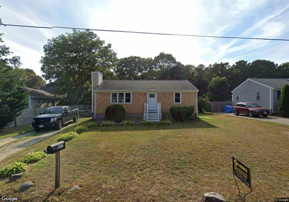
377 Megan Rd Hyannis, MA 02601
Estimated Value: $397,000 - $502,000
2
Beds
1
Bath
912
Sq Ft
$500/Sq Ft
Est. Value
About This Home
This home is located at 377 Megan Rd, Hyannis, MA 02601 and is currently estimated at $455,838, approximately $499 per square foot. 377 Megan Rd is a home located in Barnstable County with nearby schools including Hyannis West Elementary School, Barnstable United Elementary School, and Barnstable Intermediate School.
Ownership History
Date
Name
Owned For
Owner Type
Purchase Details
Closed on
Jan 3, 1995
Sold by
Rtc
Bought by
Starr Ronald
Current Estimated Value
Home Financials for this Owner
Home Financials are based on the most recent Mortgage that was taken out on this home.
Original Mortgage
$42,400
Interest Rate
9.2%
Mortgage Type
Purchase Money Mortgage
Create a Home Valuation Report for This Property
The Home Valuation Report is an in-depth analysis detailing your home's value as well as a comparison with similar homes in the area
Home Values in the Area
Average Home Value in this Area
Purchase History
| Date | Buyer | Sale Price | Title Company |
|---|---|---|---|
| Starr Ronald | $53,000 | -- |
Source: Public Records
Mortgage History
| Date | Status | Borrower | Loan Amount |
|---|---|---|---|
| Closed | Starr Ronald | $42,400 |
Source: Public Records
Tax History Compared to Growth
Tax History
| Year | Tax Paid | Tax Assessment Tax Assessment Total Assessment is a certain percentage of the fair market value that is determined by local assessors to be the total taxable value of land and additions on the property. | Land | Improvement |
|---|---|---|---|---|
| 2025 | $3,476 | $375,000 | $132,000 | $243,000 |
| 2024 | $3,347 | $369,800 | $132,000 | $237,800 |
| 2023 | $3,193 | $333,600 | $126,700 | $206,900 |
| 2022 | $3,149 | $272,200 | $93,800 | $178,400 |
| 2021 | $2,804 | $235,400 | $88,900 | $146,500 |
| 2020 | $2,872 | $232,900 | $88,900 | $144,000 |
| 2019 | $2,666 | $211,900 | $83,900 | $128,000 |
| 2018 | $2,426 | $197,200 | $88,400 | $108,800 |
| 2017 | $2,054 | $171,300 | $67,600 | $103,700 |
| 2016 | $2,022 | $172,400 | $68,700 | $103,700 |
| 2015 | $1,904 | $164,600 | $65,600 | $99,000 |
Source: Public Records
Map
Nearby Homes
- 292 Megan Rd
- 15 Goldie Way
- 24 Bettys Pond Rd Unit K
- 24 Betty's Pond Rd Unit 1K
- 220 Fawcett Ln
- 135 W Main St Unit 45
- 57 Suffolk Ave
- 297 W Main St Unit 12
- 295 Sudbury Ln
- 7 Arbeta Rd
- 142 Chestnut St
- 93 Sea St
- 7 Delta St
- 29 Windshore Dr
- 720 Pitchers Way Unit 52
- 65 Olander Dr
- 68 Seaboard Ln
- 296 Lincoln Rd
- 75 Olander Dr
- 75 Olander Dr
- 389 Megan Rd
- 371 Megan Rd
- 150 Connemara Cir
- 234 Mitchells Way
- 361 Megan Rd
- 153 Connemara Cir
- 204 Mitchells Way
- 153 Connemerara Cir
- 144 Connemara Cir
- 194 Mitchells Way
- 215 Mitchells Way
- 244 Mitchells Way
- 233 Mitchells Way
- 240 Mitchell's
- 356 Megan Rd
- 351 Megan Rd
- 262 Mitchells Way
- 272 Mitchells Way
- 136 Connemara Cir
- 262 Mitchell's Way