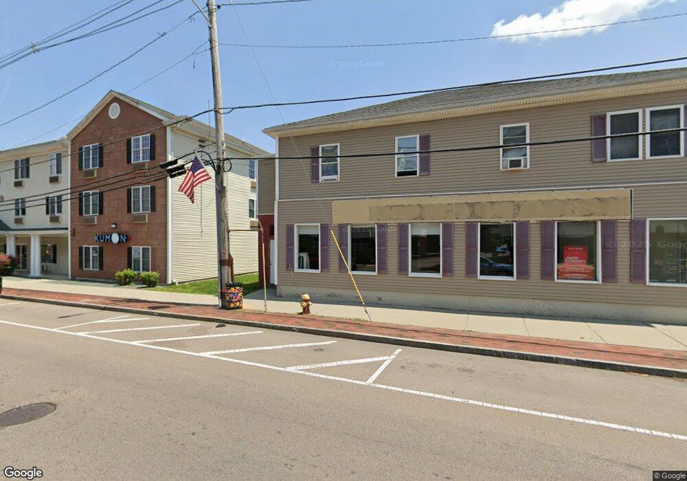
377 N Main St Unit 1 Mansfield, MA 02048
Estimated Value: $1,515,355
3
Beds
2
Baths
2,950
Sq Ft
$514/Sq Ft
Est. Value
About This Home
This home is located at 377 N Main St Unit 1, Mansfield, MA 02048 and is currently estimated at $1,515,355, approximately $513 per square foot. 377 N Main St Unit 1 is a home located in Bristol County with nearby schools including Everett W. Robinson Elementary School, Jordan/Jackson Elementary School, and Harold L. Qualters Middle School.
Ownership History
Date
Name
Owned For
Owner Type
Purchase Details
Closed on
Jun 22, 2018
Sold by
Blanchette Mark and Blanchette Wendy
Bought by
377 North Main Street
Current Estimated Value
Purchase Details
Closed on
Apr 27, 2016
Sold by
Cab Properties Llc
Bought by
Blanchette Mark
Purchase Details
Closed on
Mar 9, 2006
Sold by
Blanchette Mark
Bought by
Blanchette Mark and Blanchette Wendy
Home Financials for this Owner
Home Financials are based on the most recent Mortgage that was taken out on this home.
Original Mortgage
$500,000
Interest Rate
6.15%
Mortgage Type
Commercial
Purchase Details
Closed on
Feb 28, 2006
Sold by
Cab Prop Llc
Bought by
Blanchette Mark
Home Financials for this Owner
Home Financials are based on the most recent Mortgage that was taken out on this home.
Original Mortgage
$500,000
Interest Rate
6.15%
Mortgage Type
Commercial
Purchase Details
Closed on
Apr 14, 2004
Sold by
Main St Rt
Bought by
Cab Prop Llc
Create a Home Valuation Report for This Property
The Home Valuation Report is an in-depth analysis detailing your home's value as well as a comparison with similar homes in the area
Home Values in the Area
Average Home Value in this Area
Purchase History
| Date | Buyer | Sale Price | Title Company |
|---|---|---|---|
| 377 North Main Street | $868,000 | -- | |
| Blanchette Mark | -- | -- | |
| Blanchette Mark | -- | -- | |
| Blanchette Mark | $630,000 | -- | |
| Cab Prop Llc | $385,000 | -- |
Source: Public Records
Mortgage History
| Date | Status | Borrower | Loan Amount |
|---|---|---|---|
| Previous Owner | Blanchette Mark | $500,000 |
Source: Public Records
Tax History Compared to Growth
Tax History
| Year | Tax Paid | Tax Assessment Tax Assessment Total Assessment is a certain percentage of the fair market value that is determined by local assessors to be the total taxable value of land and additions on the property. | Land | Improvement |
|---|---|---|---|---|
| 2025 | -- | $1,010,200 | $156,300 | $853,900 |
| 2024 | -- | $1,021,500 | $156,300 | $865,200 |
| 2023 | $0 | $1,021,500 | $156,300 | $865,200 |
| 2022 | $0 | $980,900 | $156,300 | $824,600 |
| 2021 | $7,003 | $806,000 | $129,900 | $676,100 |
| 2020 | $2,601 | $806,000 | $129,900 | $676,100 |
| 2019 | $2,130 | $648,800 | $129,900 | $518,900 |
| 2018 | $10,247 | $523,000 | $129,900 | $393,100 |
| 2017 | $2,442 | $523,000 | $129,900 | $393,100 |
| 2016 | -- | $435,700 | $129,900 | $305,800 |
| 2015 | -- | $414,600 | $108,800 | $305,800 |
Source: Public Records
Map
Nearby Homes
- 22 Pleasant St Unit C
- 82 Brook St
- 150 Rumford Ave Unit 110
- 28 Angell St
- 44 Angell St Unit 44
- 28 Court St
- 619 N Main St
- 166 Chauncy St
- 277 Central St
- 356 Central St
- 12 Spring St
- 414 Branch St
- 631 East St Unit E203
- 442 Ware St
- 460 Ware St
- 261 East St
- 6 Erick Rd Unit 73
- 1 Revere Dr
- 151 Stearns Ave
- 16 Erick Rd Unit 34
- 377 N Main St
- 377 N Main St Unit 4
- 383 N Main St
- 393 N Main St Unit 103
- 393 N Main St Unit 101
- 393 N Main St Unit 201
- 393 N Main St Unit 306
- 393 N Main St Unit 205
- 393 N Main St Unit 301
- 393 N Main St Unit 308
- 393 N Main St Unit 302
- 393 N Main St Unit 206
- 393 N Main St Unit 203
- 393 N Main St Unit 208
- 393 N Main St Unit 305
- 393 N Main St Unit 207
- 393 N Main St Unit 303
- 393 N Main St Unit 204
- 393 N Main St Unit 307
- 393 N Main St Unit 102