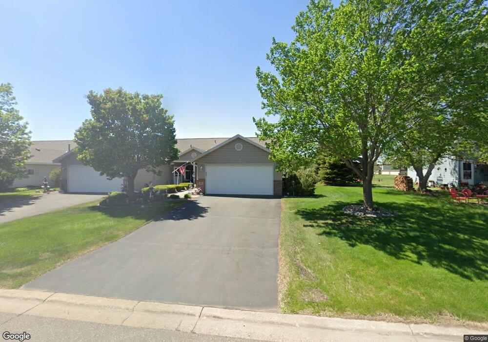
377 Phyllis St Big Lake, MN 55309
Estimated Value: $250,000 - $284,000
2
Beds
2
Baths
1,318
Sq Ft
$199/Sq Ft
Est. Value
About This Home
This home is located at 377 Phyllis St, Big Lake, MN 55309 and is currently estimated at $261,945, approximately $198 per square foot. 377 Phyllis St is a home located in Sherburne County with nearby schools including Liberty Elementary School, Independence Elementary School, and Big Lake Middle School.
Ownership History
Date
Name
Owned For
Owner Type
Purchase Details
Closed on
Jan 12, 2006
Sold by
Colberg Steven J and Colberg Kathleen L
Bought by
Scott Niles Q and Scott Rae C
Current Estimated Value
Purchase Details
Closed on
Aug 31, 2000
Sold by
Shadow Wood Village Llc
Bought by
Colberg Steven J and Colberg Kathleen L
Purchase Details
Closed on
Sep 16, 1999
Sold by
Big Lake Economic Development Authority
Bought by
Shadow Wood Village Llc
Create a Home Valuation Report for This Property
The Home Valuation Report is an in-depth analysis detailing your home's value as well as a comparison with similar homes in the area
Home Values in the Area
Average Home Value in this Area
Purchase History
| Date | Buyer | Sale Price | Title Company |
|---|---|---|---|
| Scott Niles Q | $162,000 | -- | |
| Colberg Steven J | $130,000 | -- | |
| Shadow Wood Village Llc | $12,000 | -- |
Source: Public Records
Tax History
| Year | Tax Paid | Tax Assessment Tax Assessment Total Assessment is a certain percentage of the fair market value that is determined by local assessors to be the total taxable value of land and additions on the property. | Land | Improvement |
|---|---|---|---|---|
| 2025 | $2,892 | $247,700 | $41,300 | $206,400 |
| 2024 | $2,920 | $245,400 | $41,300 | $204,100 |
| 2023 | $2,804 | $251,900 | $52,000 | $199,900 |
| 2022 | $2,584 | $235,000 | $44,500 | $190,500 |
| 2020 | $2,522 | $183,300 | $28,000 | $155,300 |
| 2019 | $2,390 | $177,700 | $25,000 | $152,700 |
| 2018 | $2,126 | $167,800 | $25,000 | $142,800 |
| 2017 | $1,982 | $147,300 | $20,400 | $126,900 |
| 2016 | $1,858 | $135,200 | $18,400 | $116,800 |
| 2015 | $1,804 | $103,700 | $14,800 | $88,900 |
| 2014 | $1,616 | $106,700 | $16,500 | $90,200 |
| 2013 | -- | $90,700 | $15,600 | $75,100 |
Source: Public Records
Map
Nearby Homes
- 461 Lexington Ave
- 23xxx 182nd St NW
- 541 William St
- 365 Karen Ln
- 689 Susan St
- 423 Donna Ct
- 19400 Karen Ln
- 591 Glenwood Ave
- 741 Glenwood Ave
- 1120 Wall St
- 18602 Arctic Ave
- 683 Eagle Lake Rd S
- 18008 Walnut Cir
- 19235 Engle Wood Dr
- 160 Powell Cir N
- 701 Independence Dr NW
- 705 Independence Dr NW
- 107 Justice Place
- 220 Euclid Ave
- 19041 Gunter Way
- 375 Phyllis St
- 381 Phyllis St
- 373 Phyllis St
- 383 Phyllis St
- 385 Phyllis St
- 371 Phyllis St
- 395 Phyllis St
- 644 Minnesota Ave
- 644 Minnesota Ave E
- 650 Minnesota Ave
- 638 Minnesota Ave
- 638 Minnesota Ave E
- 632 Minnesota Ave
- 621 Rose Dr
- 621 Rose Dr Unit 3
- 626 Minnesota Ave
- 660 Minnesota Ave
- 614 Minnesota Ave
- 608 Minnesota Ave
- 635 Rose Dr
Your Personal Tour Guide
Ask me questions while you tour the home.