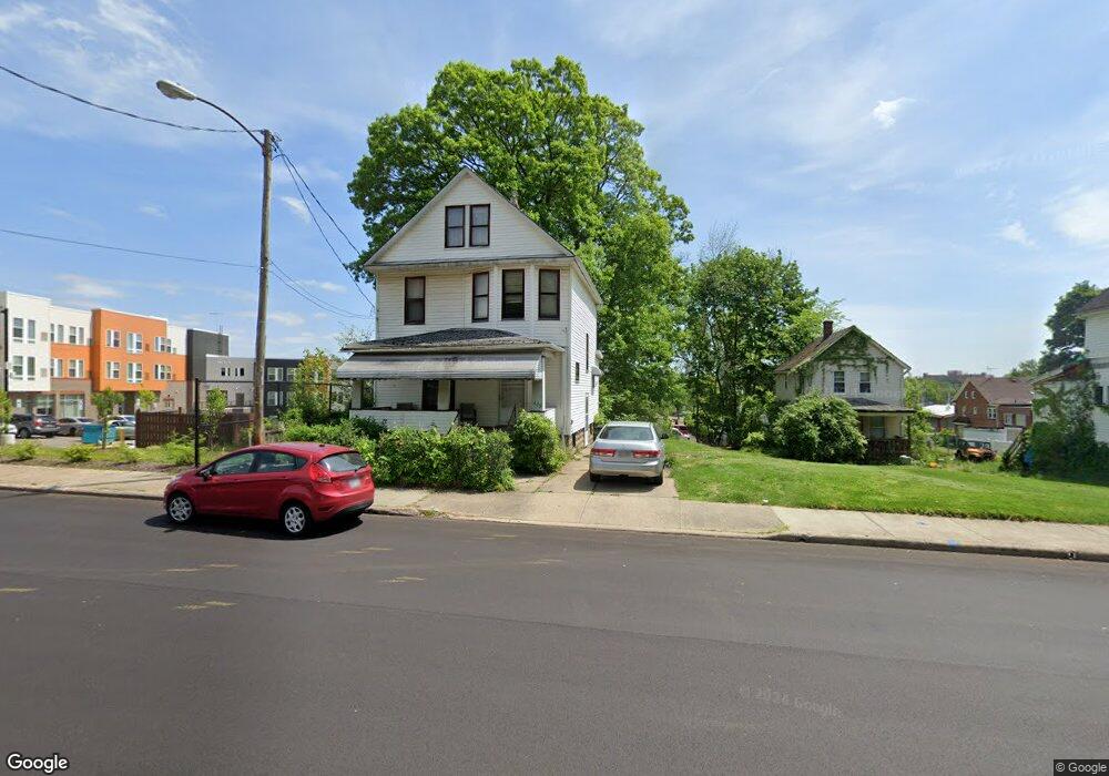
377 Rhodes Ave Akron, OH 44307
Sherbondy Hill NeighborhoodEstimated Value: $126,000
2
Beds
1
Bath
1,088
Sq Ft
$116/Sq Ft
Est. Value
About This Home
This home is located at 377 Rhodes Ave, Akron, OH 44307 and is currently priced at $126,000, approximately $115 per square foot. 377 Rhodes Ave is a home located in Summit County with nearby schools including Towpath Trail High School, St. Vincent Elementary School, and St Vincent-St Mary High School.
Ownership History
Date
Name
Owned For
Owner Type
Purchase Details
Closed on
Apr 3, 2019
Sold by
Summit County Land Reutilization Corp
Bought by
Park Akron Zoological
Current Estimated Value
Purchase Details
Closed on
Aug 8, 2017
Sold by
City Of Akron
Bought by
Summity County Land Reutlization Corp
Purchase Details
Closed on
Mar 23, 2017
Sold by
Tampley Danny and Scahse Kristen M
Bought by
The City Of Akron
Create a Home Valuation Report for This Property
The Home Valuation Report is an in-depth analysis detailing your home's value as well as a comparison with similar homes in the area
Home Values in the Area
Average Home Value in this Area
Purchase History
| Date | Buyer | Sale Price | Title Company |
|---|---|---|---|
| Park Akron Zoological | -- | None Available | |
| Summity County Land Reutlization Corp | -- | None Available | |
| The City Of Akron | -- | None Available |
Source: Public Records
Tax History
| Year | Tax Paid | Tax Assessment Tax Assessment Total Assessment is a certain percentage of the fair market value that is determined by local assessors to be the total taxable value of land and additions on the property. | Land | Improvement |
|---|---|---|---|---|
| 2025 | $72 | $3,595 | $3,595 | -- |
| 2024 | $72 | $3,595 | $3,595 | -- |
| 2023 | $72 | $3,595 | $3,595 | $0 |
| 2022 | $72 | $2,114 | $2,114 | $0 |
| 2021 | $213 | $2,114 | $2,114 | $0 |
| 2020 | $211 | $2,110 | $2,110 | $0 |
| 2019 | $72 | $3,240 | $3,240 | $0 |
| 2018 | $72 | $3,240 | $3,240 | $0 |
| 2017 | $888 | $10,790 | $3,240 | $7,550 |
| 2016 | $1,347 | $10,950 | $3,240 | $7,710 |
| 2015 | $888 | $10,950 | $3,240 | $7,710 |
| 2014 | $840 | $10,950 | $3,240 | $7,710 |
| 2013 | $857 | $11,440 | $3,240 | $8,200 |
Source: Public Records
Map
Nearby Homes
- 483 Douglas St
- 480 Bell St
- 492 Douglas St
- 212 Gale St
- 295 Grove St
- 524 Auld Farm Cir
- 577 Rhodes Ave
- 644 Diagonal Rd
- 699 W Exchange St
- 434 Hillwood Dr
- 105 Westwood Ave
- 445 Beechwood Dr
- 710 Copley Rd Unit 712
- 414 Beechwood Dr
- 555 Hoye Ave
- 867 Orrin St
- 262 S Portage Path
- 875 Orrin St
- 114 Beck Ave
- 325 Beechwood Dr
- 375 Rhodes Ave
- 381 Rhodes Ave
- 383 Rhodes Ave
- 387 Rhodes Ave Unit 389
- 372 Rhodes Ave
- 382 Rhodes Ave
- 370 Rhodes Ave
- 395 Rhodes Ave
- 366 Rhodes Ave
- 392 Rhodes Ave
- 401 Rhodes Ave
- 371 Edgewood Ave
- 367 Edgewood Ave
- 382 Douglas St
- 390 Douglas St
- 394 Douglas St
- 403 Rhodes Ave
- 398 Douglas St
- 398 Douglas St Unit 1
- 389 Edgewood Ave
Your Personal Tour Guide
Ask me questions while you tour the home.