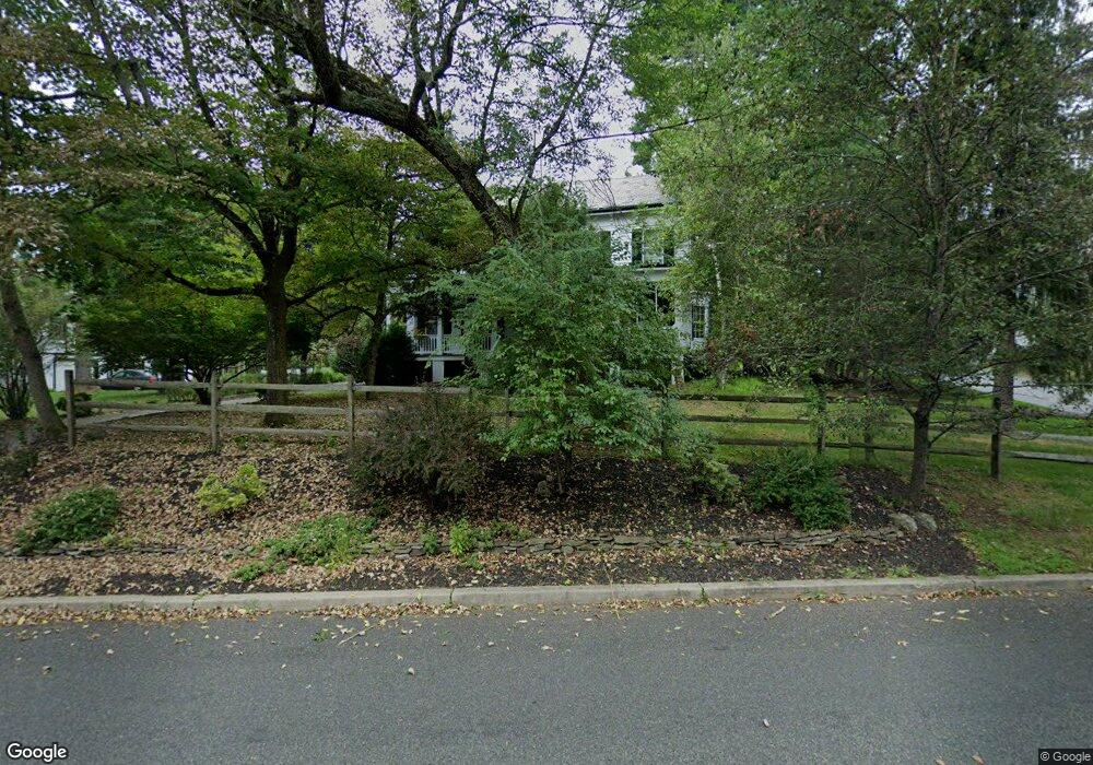
377 River Rd Branchburg, NJ 08876
Branchburg Township NeighborhoodEstimated Value: $913,000 - $986,000
--
Bed
--
Bath
3,753
Sq Ft
$253/Sq Ft
Est. Value
About This Home
This home is located at 377 River Rd, Branchburg, NJ 08876 and is currently estimated at $950,477, approximately $253 per square foot. 377 River Rd is a home located in Somerset County with nearby schools including Whiton Elementary School, Stony Brook School, and Branchburg Central Middle School.
Ownership History
Date
Name
Owned For
Owner Type
Purchase Details
Closed on
Mar 19, 2008
Sold by
Behr Omri M and Behr Marion R
Bought by
Behr Omri M and Behr Marion R
Current Estimated Value
Purchase Details
Closed on
Jan 6, 1997
Sold by
Brokaw George
Bought by
Behr Omri and Behr Marion
Home Financials for this Owner
Home Financials are based on the most recent Mortgage that was taken out on this home.
Original Mortgage
$200,000
Outstanding Balance
$21,152
Interest Rate
7.46%
Estimated Equity
$929,325
Create a Home Valuation Report for This Property
The Home Valuation Report is an in-depth analysis detailing your home's value as well as a comparison with similar homes in the area
Home Values in the Area
Average Home Value in this Area
Purchase History
| Date | Buyer | Sale Price | Title Company |
|---|---|---|---|
| Behr Omri M | -- | None Available | |
| Behr Omri | $405,000 | -- |
Source: Public Records
Mortgage History
| Date | Status | Borrower | Loan Amount |
|---|---|---|---|
| Open | Behr Omri | $200,000 |
Source: Public Records
Tax History Compared to Growth
Tax History
| Year | Tax Paid | Tax Assessment Tax Assessment Total Assessment is a certain percentage of the fair market value that is determined by local assessors to be the total taxable value of land and additions on the property. | Land | Improvement |
|---|---|---|---|---|
| 2025 | $12,734 | $766,900 | $170,300 | $596,600 |
| 2024 | $12,734 | $705,900 | $170,300 | $535,600 |
| 2023 | $12,586 | $672,700 | $170,300 | $502,400 |
| 2022 | $12,759 | $648,000 | $170,300 | $477,700 |
| 2021 | $13,113 | $620,300 | $170,300 | $450,000 |
| 2020 | $13,143 | $613,300 | $170,300 | $443,000 |
| 2019 | $13,137 | $609,600 | $170,300 | $439,300 |
| 2018 | $13,016 | $602,300 | $165,300 | $437,000 |
| 2017 | $13,128 | $603,300 | $160,300 | $443,000 |
| 2016 | $13,147 | $600,300 | $157,800 | $442,500 |
| 2015 | $13,203 | $604,000 | $155,800 | $448,200 |
| 2014 | $12,995 | $601,600 | $152,800 | $448,800 |
Source: Public Records
Map
Nearby Homes
- 507 Dunn Cir
- 19 Craft Farm Dr
- 48 Reinhart Way
- 61 Waugh Ct
- 4101 Dilts Ln
- 5 Walnut Dr
- 3010 Doolittle Dr
- 2801 Doolittle Dr
- 2104 Doolittle Dr
- 4703 Patterson St Unit 47
- 2008 Ackmen Ct
- 2512 Lindsley Rd
- 319 Hannah Way
- 2706 Pinhorn Dr
- 501 Reading Cir
- 1114 State Route 28
- 3214 Winder Dr
- 405 Porter Way W
- 3803 Vroom Dr
- 43 Wexford Way