377 Weston Rd Wrightsville, GA 31096
Estimated Value: $337,905 - $498,000
--
Bed
--
Bath
2,252
Sq Ft
$176/Sq Ft
Est. Value
About This Home
This home is located at 377 Weston Rd, Wrightsville, GA 31096 and is currently estimated at $395,726, approximately $175 per square foot. 377 Weston Rd is a home with nearby schools including Johnson County Elementary School, Johnson County Middle School, and Johnson County High School.
Ownership History
Date
Name
Owned For
Owner Type
Purchase Details
Closed on
Oct 31, 2008
Sold by
Powell Ambros
Bought by
Gaston George Harold and Gaston Debroah B
Current Estimated Value
Purchase Details
Closed on
Jun 15, 2007
Sold by
Powell Stanley A
Bought by
Gaston George H and Gaston Deborah
Home Financials for this Owner
Home Financials are based on the most recent Mortgage that was taken out on this home.
Original Mortgage
$229,540
Interest Rate
6.16%
Mortgage Type
New Conventional
Purchase Details
Closed on
Nov 6, 2000
Sold by
Powell Ambros
Bought by
Powell Stanley A
Purchase Details
Closed on
Sep 30, 1981
Sold by
Powell Mamie Lou
Bought by
Powell Ambros
Create a Home Valuation Report for This Property
The Home Valuation Report is an in-depth analysis detailing your home's value as well as a comparison with similar homes in the area
Home Values in the Area
Average Home Value in this Area
Purchase History
| Date | Buyer | Sale Price | Title Company |
|---|---|---|---|
| Gaston George Harold | -- | -- | |
| Gaston George H | $229,540 | -- | |
| Powell Stanley A | $95,000 | -- | |
| Powell Ambros | -- | -- |
Source: Public Records
Mortgage History
| Date | Status | Borrower | Loan Amount |
|---|---|---|---|
| Previous Owner | Gaston George H | $229,540 |
Source: Public Records
Tax History Compared to Growth
Tax History
| Year | Tax Paid | Tax Assessment Tax Assessment Total Assessment is a certain percentage of the fair market value that is determined by local assessors to be the total taxable value of land and additions on the property. | Land | Improvement |
|---|---|---|---|---|
| 2024 | $2,721 | $102,443 | $18,766 | $83,677 |
| 2023 | $2,498 | $102,443 | $18,766 | $83,677 |
| 2022 | $2,494 | $102,443 | $18,766 | $83,677 |
| 2021 | $2,204 | $75,165 | $11,351 | $63,814 |
| 2020 | $2,032 | $75,165 | $11,351 | $63,814 |
| 2019 | $2,030 | $75,165 | $11,351 | $63,814 |
| 2018 | $2,204 | $75,165 | $11,351 | $63,814 |
| 2017 | $2,019 | $75,165 | $11,351 | $63,814 |
| 2016 | $2,204 | $75,165 | $11,351 | $63,814 |
| 2015 | -- | $82,840 | $11,351 | $71,489 |
| 2014 | -- | $79,274 | $7,785 | $71,489 |
| 2013 | -- | $79,273 | $7,784 | $71,488 |
Source: Public Records
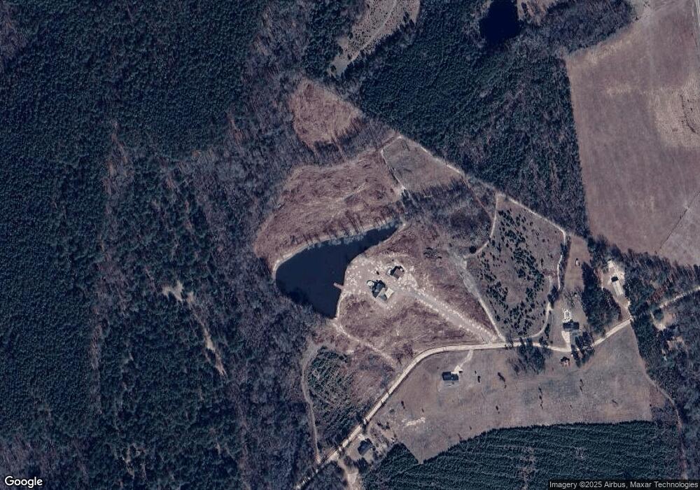
Map
Nearby Homes
- 964 Cross Cedar Rd
- 230 Pringle Rd
- 107 Wiggins St
- 0 W Elm St
- 2010 Page Rd
- 0 Bartow-Dublin Rd Unit 24028627
- 0 Bartow-Dublin Rd Unit 10559571
- 4772 Georgia 57
- 11 Hill St
- 8427 S Marcus St
- 6887 W College St
- 537 W Court St
- 8165 S Marcus St
- 304 W Trilby St
- 3 Chester Dr
- 7728 Georgia 15
- 92 Paul Lord Rd
- 2254 W Elm St
- 691 W Trilby St
- 1480 Smith Bedgood Rd
- 300 Weston Rd
- 413 Weston Rd
- 458 Weston Rd
- 138 Union Hill Church Rd
- 1469 Union Hill Church Rd
- 1442 Union Hill Church Rd
- 1350 Union Hill Church Rd
- 1147 Gumlog Rd
- 1039 Union Hill Church Rd
- 951 Union Hill Church Rd
- 1510 Union Hill Church Rd
- 1088 Union Hill Church Rd
- 1165 Gumlog Rd
- 0 Union Hill Church Rd
- 4720 Us Highway 319 N
- 856 Gumlog Rd
- 715 Sand Hill Rd
- 868 Union Hill Church Rd
- 1366 Gumlog Rd
- 4907 Us Highway 319 N