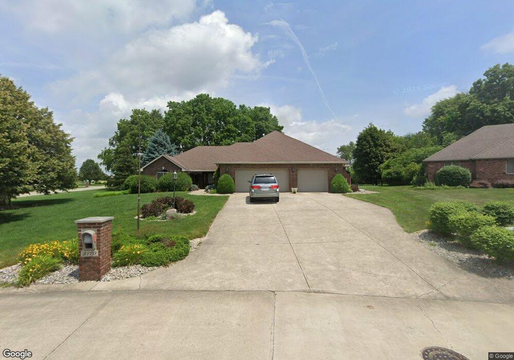
3770 Chisholm Dr Anderson, IN 46012
Estimated Value: $315,000 - $356,000
--
Bed
2
Baths
2,322
Sq Ft
$145/Sq Ft
Est. Value
About This Home
This home is located at 3770 Chisholm Dr, Anderson, IN 46012 and is currently estimated at $336,722, approximately $145 per square foot. 3770 Chisholm Dr is a home located in Madison County with nearby schools including Eastside Elementary School, Highland Middle School, and Anderson High School.
Ownership History
Date
Name
Owned For
Owner Type
Purchase Details
Closed on
Mar 2, 2021
Sold by
Mason Gregory R and Smae Lezlie W
Bought by
Mason Gregory R
Current Estimated Value
Purchase Details
Closed on
Dec 7, 2020
Sold by
Mason Gregory R
Bought by
Mason Gregory R and Mason Lezlie W
Purchase Details
Closed on
Sep 15, 2020
Sold by
Mckinley Jean Michelle
Bought by
Johns Ricky and Johns Dorothy
Purchase Details
Closed on
Feb 20, 2019
Sold by
Mason Gregory R and Mason Lezlie W
Bought by
Mason Gregory R
Create a Home Valuation Report for This Property
The Home Valuation Report is an in-depth analysis detailing your home's value as well as a comparison with similar homes in the area
Home Values in the Area
Average Home Value in this Area
Purchase History
| Date | Buyer | Sale Price | Title Company |
|---|---|---|---|
| Mason Gregory R | -- | None Available | |
| Mason Gregory R | -- | None Available | |
| Johns Ricky | -- | None Available | |
| Mason Gregory R | -- | None Available |
Source: Public Records
Tax History Compared to Growth
Tax History
| Year | Tax Paid | Tax Assessment Tax Assessment Total Assessment is a certain percentage of the fair market value that is determined by local assessors to be the total taxable value of land and additions on the property. | Land | Improvement |
|---|---|---|---|---|
| 2025 | $2,867 | $257,600 | $42,900 | $214,700 |
| 2024 | $2,867 | $257,600 | $42,900 | $214,700 |
| 2023 | $2,637 | $236,300 | $40,900 | $195,400 |
| 2022 | $2,645 | $234,600 | $39,200 | $195,400 |
| 2021 | $2,363 | $209,000 | $33,300 | $175,700 |
| 2020 | $2,306 | $203,400 | $31,800 | $171,600 |
| 2019 | $2,237 | $198,400 | $31,800 | $166,600 |
| 2018 | $2,113 | $184,300 | $31,800 | $152,500 |
| 2017 | $1,834 | $183,400 | $31,800 | $151,600 |
| 2016 | $1,852 | $185,200 | $31,800 | $153,400 |
| 2014 | $1,856 | $185,600 | $31,800 | $153,800 |
| 2013 | $1,856 | $187,300 | $31,800 | $155,500 |
Source: Public Records
Map
Nearby Homes
- 3776 Cameron Ct
- 1311 N 300 E
- 1328 N 300 E
- 809 Deerfield Rd
- 701 Westgate Dr
- 5064 Glenmore Rd
- 2438 E 200 N
- 2101 N 300 E
- 28 Cambridge Ct
- 0 S Rangeline Rd Unit MBR22058812
- 0 Hanover Dr
- 724 W Main St
- 1004 Shepherd Rd
- 405 North St
- 531 W Plum St
- 239 N Coventry Dr
- 0 Janet Ct
- 3012 E 6th St
- 3730 County Road 150 N
- 66 Circle Dr
- 0 Lindsay Ln
- 0 Lindsay Ln Unit 21416129
- 0 Lindsay Ln Unit 21416134
- 832 Lindsay Ln
- 828 Lindsay Ln
- 829 Lindsay Ln
- 3762 Chisholm Dr
- 841 Lindsay Ln
- 844 Lindsay Ln
- 866 Lindsay Ln
- 845 Lindsay Ln
- 856 Lindsay Ln
- 933 Greenhill Way
- 943 Greenhill Way
- 825 Lindsay Ln
- 824 Lindsay Ln
- 4322 Greenhill Way
- 3758 Chisholm Dr
- 3761 Chisholm Dr
- 917 Greenhill Way