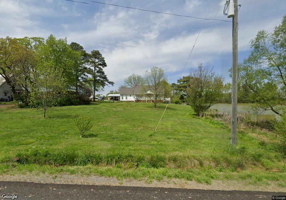
3774 Loop Rd Steele, AL 35987
Estimated Value: $324,000 - $576,000
3
Beds
2
Baths
1,495
Sq Ft
$299/Sq Ft
Est. Value
About This Home
This home is located at 3774 Loop Rd, Steele, AL 35987 and is currently estimated at $446,721, approximately $298 per square foot. 3774 Loop Rd is a home located in St. Clair County with nearby schools including Steele Elementary School and Ashville High School.
Ownership History
Date
Name
Owned For
Owner Type
Purchase Details
Closed on
Feb 29, 2012
Sold by
Schultz Howard K
Bought by
Schultz Howard K and Schultz Michael Ray
Current Estimated Value
Purchase Details
Closed on
Feb 9, 2012
Sold by
Tucker Donald H and Tucker Tammy
Bought by
Schultz Howard K
Purchase Details
Closed on
Feb 18, 2005
Sold by
Mcdougal Martha E and Mcdougal Don M
Bought by
Tucker Donald H
Create a Home Valuation Report for This Property
The Home Valuation Report is an in-depth analysis detailing your home's value as well as a comparison with similar homes in the area
Home Values in the Area
Average Home Value in this Area
Purchase History
| Date | Buyer | Sale Price | Title Company |
|---|---|---|---|
| Schultz Howard K | $500 | -- | |
| Schultz Howard K | $500 | None Available | |
| Tucker Donald H | -- | None Available |
Source: Public Records
Tax History
| Year | Tax Paid | Tax Assessment Tax Assessment Total Assessment is a certain percentage of the fair market value that is determined by local assessors to be the total taxable value of land and additions on the property. | Land | Improvement |
|---|---|---|---|---|
| 2024 | $153 | $67,002 | $17,880 | $49,122 |
| 2023 | $153 | $67,102 | $17,980 | $49,122 |
| 2022 | $983 | $63,326 | $20,320 | $43,006 |
| 2021 | $988 | $63,334 | $20,328 | $43,006 |
| 2020 | $988 | $63,396 | $20,380 | $43,016 |
| 2019 | $988 | $63,396 | $20,380 | $43,016 |
| 2018 | $906 | $29,100 | $0 | $0 |
| 2017 | $839 | $26,760 | $0 | $0 |
| 2016 | $834 | $26,760 | $0 | $0 |
| 2015 | $839 | $26,760 | $0 | $0 |
| 2014 | $839 | $26,940 | $0 | $0 |
Source: Public Records
Map
Nearby Homes
- 3074 Beason Cove Rd
- 61 Hartsfield Dr
- 0 Legion Dr Unit 893391
- 0 Legion Dr Unit 19987726
- 1850 Pleasant Valley Rd
- 0 Highway 11 Unit 21427361
- 0 Sumatanga Rd
- 19099 US Highway 11
- 0 County Road 42 Unit 26157833
- 0 County Road 42 Unit 21442134
- 2405 Cliff Springs Rd
- 0 Sweatt Rd Unit 21415006
- 0 Cliff Springs Rd Unit 21429334
- 0 Cliff Springs Rd Unit 24577101
- 560 Phillips Dr
- 2285 Reneau Rd
- 36240 US Hwy 231
- 3341 Jackson Trail
- 4396 Shore Dr
- 16845 US Highway 11
Your Personal Tour Guide
Ask me questions while you tour the home.