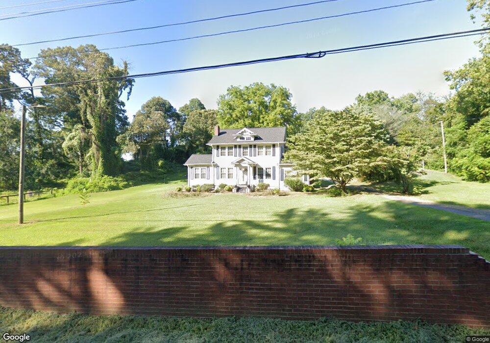
3775 High Point Rd Winston Salem, NC 27107
Estimated Value: $275,000 - $295,123
3
Beds
2
Baths
3,257
Sq Ft
$88/Sq Ft
Est. Value
About This Home
This home is located at 3775 High Point Rd, Winston Salem, NC 27107 and is currently estimated at $286,531, approximately $87 per square foot. 3775 High Point Rd is a home located in Forsyth County with nearby schools including Hall-Woodward Elementary School, Southeast Middle School, and R.B. Glenn High School.
Ownership History
Date
Name
Owned For
Owner Type
Purchase Details
Closed on
Jul 19, 2013
Sold by
Jamison Kenneth T and The Doris Jamison Revocable Li
Bought by
Weavil William L and Weavil Rebecca H
Current Estimated Value
Home Financials for this Owner
Home Financials are based on the most recent Mortgage that was taken out on this home.
Original Mortgage
$80,000
Outstanding Balance
$58,270
Interest Rate
3.96%
Mortgage Type
New Conventional
Estimated Equity
$228,261
Purchase Details
Closed on
Dec 8, 2003
Sold by
Jamison Doris H
Bought by
Jamison Doris H and Doris Jamison Revocable Living
Create a Home Valuation Report for This Property
The Home Valuation Report is an in-depth analysis detailing your home's value as well as a comparison with similar homes in the area
Home Values in the Area
Average Home Value in this Area
Purchase History
| Date | Buyer | Sale Price | Title Company |
|---|---|---|---|
| Weavil William L | $125,000 | None Available | |
| Jamison Doris H | -- | -- |
Source: Public Records
Mortgage History
| Date | Status | Borrower | Loan Amount |
|---|---|---|---|
| Open | Weavil William L | $80,000 |
Source: Public Records
Tax History Compared to Growth
Tax History
| Year | Tax Paid | Tax Assessment Tax Assessment Total Assessment is a certain percentage of the fair market value that is determined by local assessors to be the total taxable value of land and additions on the property. | Land | Improvement |
|---|---|---|---|---|
| 2025 | $2,396 | $256,900 | $35,000 | $221,900 |
| 2024 | $2,287 | $170,800 | $27,800 | $143,000 |
| 2023 | $2,287 | $170,800 | $27,800 | $143,000 |
| 2022 | $2,244 | $170,800 | $27,800 | $143,000 |
| 2021 | $2,204 | $170,800 | $27,800 | $143,000 |
| 2020 | $1,671 | $121,000 | $26,500 | $94,500 |
| 2019 | $1,683 | $121,000 | $26,500 | $94,500 |
| 2018 | $1,598 | $121,000 | $26,500 | $94,500 |
| 2016 | $1,650 | $125,359 | $24,720 | $100,639 |
| 2015 | $1,625 | $125,359 | $24,720 | $100,639 |
| 2014 | $1,576 | $125,359 | $24,720 | $100,639 |
Source: Public Records
Map
Nearby Homes
- Ashe Plan at Robindale
- Erie Plan at Robindale
- Camden Plan at Robindale
- Durham Plan at Robindale
- Avery Plan at Robindale
- Cary Plan at Robindale
- Carolina Plan at Robindale
- 3598 Robindale Dr
- 3471 Robindale Dr
- 3458 Robindale Dr
- 421 Robindale Ct
- 3453 Robindale Dr
- 3447 Robindale Dr
- 3428 Robindale Dr
- 3441 Robindale Dr
- 3435 Robindale Dr
- 3422 Robindale Dr
- 3544 Landis St SE
- 3538 Landis St SE
- 3532 Landis St SE
- 3791 High Point Rd
- 3789 High Point Rd
- 3784 High Point Rd
- 3795 High Point Rd
- 3770 High Point Rd
- 2701 Friedland Church Rd
- 3790 High Point Rd
- 3796 High Point Rd
- 3799 High Point Rd
- 3760 High Point Rd
- 3798 High Point Rd
- 2715 Friedland Church Rd
- 2811 Friedland Church Rd
- 3939 Magnolia Place Ln
- 3927 Magnolia Place Ln
- 3960 Magnolia Place Ln
- 2708 Friedland Church Rd
- 3921 Magnolia Place Ln
- 2723 Friedland Church Rd
- 2831 Friedland Church Rd