3776 Mt Baker Hwy Everson, WA 98247
Estimated Value: $795,000 - $1,223,602
3
Beds
4
Baths
3,138
Sq Ft
$329/Sq Ft
Est. Value
About This Home
This home is located at 3776 Mt Baker Hwy, Everson, WA 98247 and is currently estimated at $1,032,401, approximately $328 per square foot. 3776 Mt Baker Hwy is a home located in Whatcom County with nearby schools including Mount Baker Senior High School.
Ownership History
Date
Name
Owned For
Owner Type
Purchase Details
Closed on
Apr 11, 2005
Sold by
Pederson Peder M
Bought by
Larsen Albert C and Larsen Beverly F
Current Estimated Value
Home Financials for this Owner
Home Financials are based on the most recent Mortgage that was taken out on this home.
Original Mortgage
$85,000
Interest Rate
5.77%
Mortgage Type
Purchase Money Mortgage
Purchase Details
Closed on
Sep 22, 2001
Sold by
Pederson Lois J
Bought by
Pederson Pete
Create a Home Valuation Report for This Property
The Home Valuation Report is an in-depth analysis detailing your home's value as well as a comparison with similar homes in the area
Purchase History
| Date | Buyer | Sale Price | Title Company |
|---|---|---|---|
| Larsen Albert C | $185,000 | Chicago Title Insurance | |
| Pederson Pete | -- | Chicago Title Insurance Comp |
Source: Public Records
Mortgage History
| Date | Status | Borrower | Loan Amount |
|---|---|---|---|
| Previous Owner | Larsen Albert C | $85,000 |
Source: Public Records
Tax History
| Year | Tax Paid | Tax Assessment Tax Assessment Total Assessment is a certain percentage of the fair market value that is determined by local assessors to be the total taxable value of land and additions on the property. | Land | Improvement |
|---|---|---|---|---|
| 2025 | $7,390 | $941,294 | $239,341 | $701,953 |
| 2024 | $2,343 | $922,981 | $238,149 | $684,832 |
| 2023 | $2,343 | $1,182,783 | $432,909 | $749,874 |
| 2022 | $7,570 | $969,471 | $354,835 | $614,636 |
| 2021 | $6,846 | $781,825 | $286,155 | $495,670 |
| 2020 | $6,311 | $662,562 | $242,504 | $420,058 |
| 2019 | $5,658 | $583,766 | $213,664 | $370,102 |
| 2018 | $6,883 | $562,828 | $206,000 | $356,828 |
| 2017 | $6,232 | $537,610 | $152,640 | $384,970 |
| 2016 | $5,998 | $518,943 | $147,340 | $371,603 |
| 2015 | $5,536 | $495,609 | $140,715 | $354,894 |
| 2014 | -- | $466,675 | $132,500 | $334,175 |
| 2013 | -- | $466,675 | $132,500 | $334,175 |
Source: Public Records
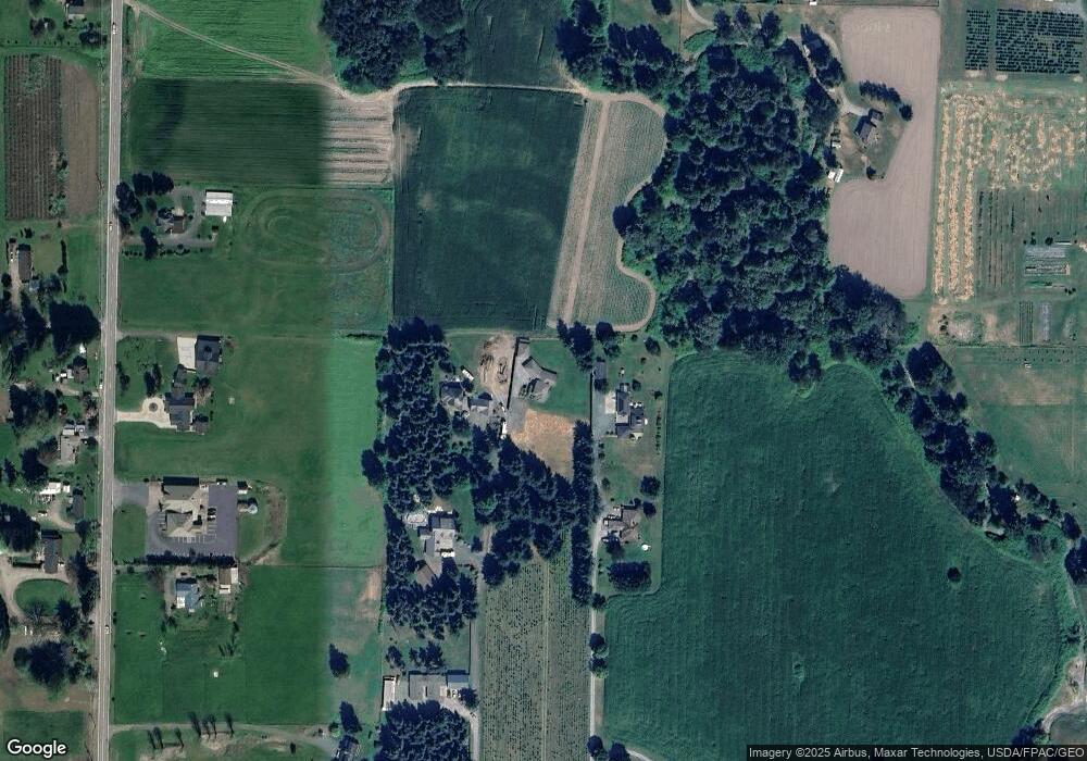
Map
Nearby Homes
- 3999 Deming Rd
- 3772 E Hoff Rd
- 5947 Lawrence Rd
- 3557 Cedarville Rd Unit 25
- 4251 Mt Baker Hwy
- 3067 E Smith Rd
- 5544 Sand Rd
- 5196 Sand Rd
- 4730 Mt Baker Hwy
- 0 Mt Baker Hwy Unit NWM2371192
- 0 Mt Baker Hwy Unit NWM2489013
- 0 Mt Baker Hwy Unit NWM2230071
- 5242 Scarlett Way
- 3395 Mack Rd
- 3090 Cole Rd
- 2200 E Smith Rd
- 2495 River Rock Dr
- 3037 Massey Rd
- 7406 Oat Coles Rd
- 2571 E Smith Rd
- 3774 Mt Baker Hwy
- 3784 Mt Baker Hwy
- 3792 Mt Baker Hwy
- 3770 Mt Baker Hwy
- 3766 Mount Baker Hwy
- 3766 Mt Baker Hwy
- 5690 Lawrence Rd
- 5712 Lawrence Rd
- 5640 Lawrence Rd
- 5626 Lawrence Rd
- 3833 Hatley Rd
- 3764 Mt Baker Hwy
- 5691 Lawrence Rd
- 3811 Hatley Rd
- 5683 Lawrence Rd
- 3783 Hatley Rd
- 5665 Lawrence Rd
- 3813 Hatley Rd
- 3813 Hatley Rd
- 3804 Mt Baker Hwy
Your Personal Tour Guide
Ask me questions while you tour the home.