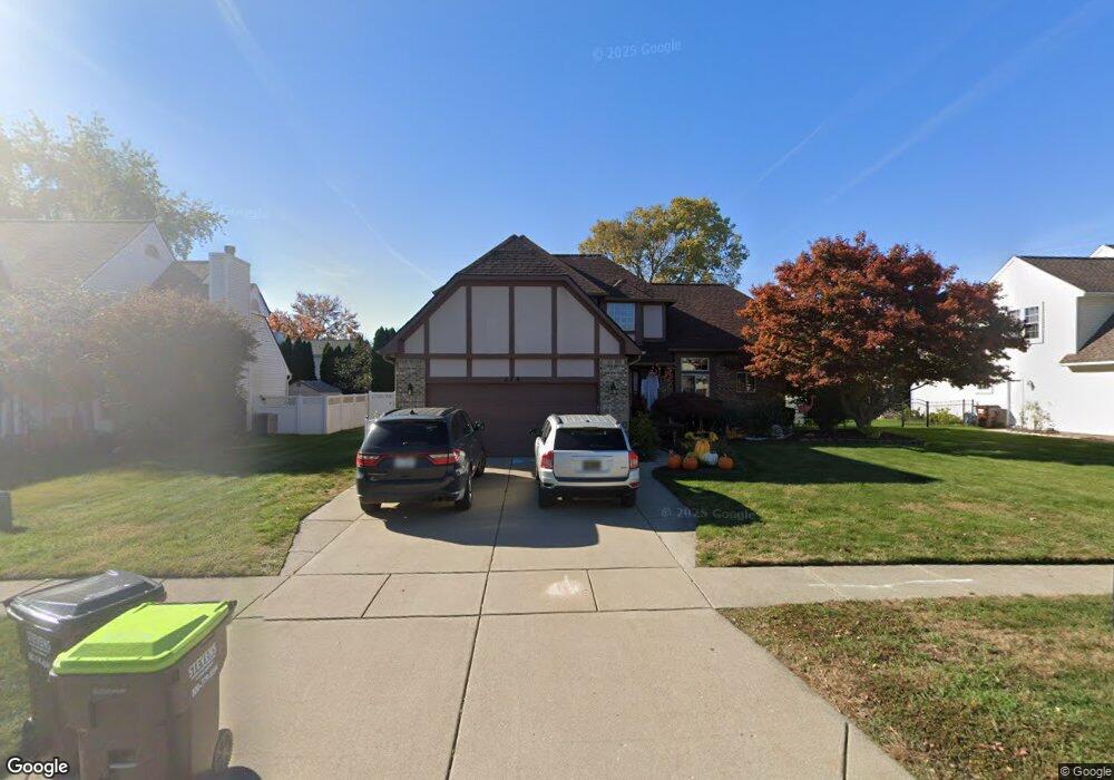
378 Harbour Pointe Dr Belleville, MI 48111
Estimated Value: $360,747 - $444,000
3
Beds
3
Baths
1,899
Sq Ft
$214/Sq Ft
Est. Value
About This Home
This home is located at 378 Harbour Pointe Dr, Belleville, MI 48111 and is currently estimated at $406,687, approximately $214 per square foot. 378 Harbour Pointe Dr is a home located in Wayne County with nearby schools including Owen Intermediate School, Edgemont Elementary School, and McBride Middle School.
Ownership History
Date
Name
Owned For
Owner Type
Purchase Details
Closed on
Nov 25, 2008
Sold by
Mortgage Electronic Registration Systems
Bought by
Federal National Mortgage Association
Current Estimated Value
Purchase Details
Closed on
Nov 19, 2008
Sold by
Daley Anthony L and Daley Suzanne A
Bought by
Mortgage Electronic Registration Systems
Purchase Details
Closed on
Oct 25, 2004
Sold by
Prevost Gary A and Prevost Jacqueline M
Bought by
Daley Anthony L
Create a Home Valuation Report for This Property
The Home Valuation Report is an in-depth analysis detailing your home's value as well as a comparison with similar homes in the area
Home Values in the Area
Average Home Value in this Area
Purchase History
We collect this data history from publicly available records. To have your information removed, we recommend requesting removal directly through your county’s website.
| Date | Buyer | Sale Price | Title Company |
|---|---|---|---|
| Federal National Mortgage Association | -- | None Available | |
| Mortgage Electronic Registration Systems | $216,733 | None Available | |
| Daley Anthony L | $250,000 | Multiple |
Source: Public Records
Tax History
| Year | Tax Paid | Tax Assessment Tax Assessment Total Assessment is a certain percentage of the fair market value that is determined by local assessors to be the total taxable value of land and additions on the property. | Land | Improvement |
|---|---|---|---|---|
| 2025 | $2,571 | $163,800 | $0 | $0 |
| 2024 | $3,179 | $158,500 | $0 | $0 |
| 2023 | $3,040 | $141,300 | $0 | $0 |
| 2022 | $4,053 | $123,600 | $0 | $0 |
| 2021 | $3,822 | $118,900 | $0 | $0 |
| 2020 | $3,786 | $119,100 | $0 | $0 |
| 2019 | $3,727 | $117,900 | $0 | $0 |
| 2018 | $2,622 | $104,800 | $0 | $0 |
| 2017 | $1,756 | $103,900 | $0 | $0 |
| 2016 | $3,316 | $96,900 | $0 | $0 |
| 2015 | $7,410 | $92,000 | $0 | $0 |
| 2013 | $7,178 | $78,600 | $0 | $0 |
| 2012 | $2,461 | $69,400 | $16,000 | $53,400 |
Source: Public Records
Map
Nearby Homes
- 437 Light Tower Ct
- 46934 Timberland Dr
- 46868 Timberland Dr
- 47022 Timberland Dr
- 47118 Timberland Dr
- 47150 Timberland Dr
- 46903 Timberland Dr
- 46871 Timberland Dr
- 46845 Timberland Dr
- 46813 Timberland Dr
- 46715 Timberland Dr
- 47155 Timberland Dr
- 47183 Timberland Dr
- 315 Brain Ave
- 175 2nd St
- 98 W Wabash Ave
- 209 Main St
- 435 Sumpter Rd
- 25 Owen St
- 129 South St
- 394 Harbour Pointe Dr
- 362 Harbour Pointe Dr
- 14021 Marina Dr
- 14059 Marina Dr
- 14007 Marina Dr
- 410 Harbour Pointe Dr
- 346 Harbour Pointe Dr
- 365 Harbour Pointe Dr
- 381 Harbour Pointe Dr
- 14083 Marina Dr
- 13975 Marina Dr
- 349 Harbour Pointe Dr
- 426 Harbour Pointe Dr
- 330 Harbour Pointe Dr
- 14115 Marina Dr
- 13953 Marina Dr
- 413 Harbour Pointe Dr
- 14006 Marina Dr
- 14020 Marina Dr
- 728 Breakwater Dr
Your Personal Tour Guide
Ask me questions while you tour the home.