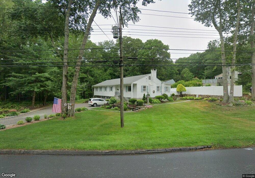
378 Mansfield Grove Rd East Haven, CT 06512
Estimated Value: $411,000 - $523,000
2
Beds
2
Baths
2,018
Sq Ft
$235/Sq Ft
Est. Value
About This Home
This home is located at 378 Mansfield Grove Rd, East Haven, CT 06512 and is currently estimated at $474,948, approximately $235 per square foot. 378 Mansfield Grove Rd is a home located in New Haven County with nearby schools including East Haven High School, East Shoreline Catholic Academy, and Pathway School.
Ownership History
Date
Name
Owned For
Owner Type
Purchase Details
Closed on
Sep 30, 1996
Sold by
Civitello Robert E
Bought by
Luciano Joseph R and Luciano Michelle A
Current Estimated Value
Create a Home Valuation Report for This Property
The Home Valuation Report is an in-depth analysis detailing your home's value as well as a comparison with similar homes in the area
Home Values in the Area
Average Home Value in this Area
Purchase History
| Date | Buyer | Sale Price | Title Company |
|---|---|---|---|
| Luciano Joseph R | $127,000 | -- |
Source: Public Records
Mortgage History
| Date | Status | Borrower | Loan Amount |
|---|---|---|---|
| Open | Luciano Joseph R | $154,200 | |
| Closed | Luciano Joseph R | $91,000 | |
| Closed | Luciano Joseph R | $185,000 | |
| Closed | Luciano Joseph R | $185,000 |
Source: Public Records
Tax History Compared to Growth
Tax History
| Year | Tax Paid | Tax Assessment Tax Assessment Total Assessment is a certain percentage of the fair market value that is determined by local assessors to be the total taxable value of land and additions on the property. | Land | Improvement |
|---|---|---|---|---|
| 2025 | $7,643 | $228,550 | $56,070 | $172,480 |
| 2024 | $7,643 | $228,550 | $56,070 | $172,480 |
| 2023 | $7,131 | $228,550 | $56,070 | $172,480 |
| 2022 | $7,004 | $224,490 | $56,070 | $168,420 |
| 2021 | $6,131 | $179,010 | $52,550 | $126,460 |
| 2020 | $6,131 | $179,010 | $52,550 | $126,460 |
| 2019 | $5,804 | $179,010 | $52,550 | $126,460 |
| 2018 | $5,809 | $179,010 | $52,550 | $126,460 |
| 2017 | $5,628 | $178,380 | $56,060 | $122,320 |
| 2016 | $5,456 | $172,920 | $52,560 | $120,360 |
| 2015 | $5,456 | $172,920 | $52,560 | $120,360 |
| 2014 | $5,542 | $172,920 | $52,560 | $120,360 |
Source: Public Records
Map
Nearby Homes
- 86 Wheaton Rd
- 30 Silver Sands Rd Unit C-9
- 330 Short Beach Rd Unit C9
- 19 Clark Ave
- 4 Sorrento Ave
- 102 Vista Dr
- 55 Hilton Ave
- 375 Coe Ave Unit 22
- 14 Vernon St
- 385 Coe Ave Unit 1
- 239 Coe Ave
- 26 Vista Dr
- 223 Coe Ave
- 16 Vista Dr
- 60 Coleman St Unit 15
- 380 Silver Sands Rd
- 384 Silver Sands Rd
- 18 Spice Bush Ln
- 2 Mansfield Grove Rd Unit 266
- 2 Mansfield Grove Rd Unit 374
- 390 Mansfield Grove Rd
- 369 Mansfield Grove Rd
- 392 Mansfield Grove Rd
- 383 Mansfield Grove Rd
- 350 Mansfield Grove Rd
- 395 Mansfield Grove Rd
- 345 Mansfield Grove Rd
- 357 Mansfield Grove Rd
- 403 Mansfield Grove Rd
- 408 Mansfield Grove Rd
- 2 Old Stone Ln
- 411 Mansfield Grove Rd
- 325 Mansfield Grove Rd
- 329 Mansfield Grove Rd
- 419 Mansfield Grove Rd
- 6 Old Stone Ln
- 312 Mansfield Grove Rd
- 317 Mansfield Grove Rd
- 226A Short Beach Rd
- 230 Short Beach Rd