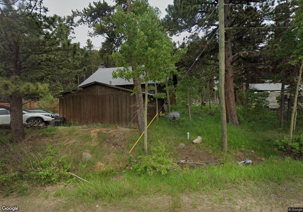
378 S Peak To Peak Hwy Nederland, CO 80466
Estimated Value: $140,000 - $628,000
--
Bed
--
Bath
--
Sq Ft
8,059
Sq Ft Lot
About This Home
This home is located at 378 S Peak To Peak Hwy, Nederland, CO 80466 and is currently estimated at $346,660. 378 S Peak To Peak Hwy is a home with nearby schools including Nederland Elementary School and Nederland Middle-Senior High School.
Ownership History
Date
Name
Owned For
Owner Type
Purchase Details
Closed on
Oct 24, 2016
Sold by
Quinn Shawn E and Quinn John W
Bought by
Quinn John W
Current Estimated Value
Purchase Details
Closed on
Dec 3, 2013
Sold by
Morton Keil Julia
Bought by
Quinn Shawn F
Purchase Details
Closed on
Nov 5, 1992
Bought by
Quinn John W and Quinn Nan M
Purchase Details
Closed on
Aug 16, 1979
Bought by
Quinn John W and Quinn Nan M
Purchase Details
Closed on
Jul 26, 1977
Bought by
Quinn John W and Quinn Nan M
Create a Home Valuation Report for This Property
The Home Valuation Report is an in-depth analysis detailing your home's value as well as a comparison with similar homes in the area
Home Values in the Area
Average Home Value in this Area
Purchase History
| Date | Buyer | Sale Price | Title Company |
|---|---|---|---|
| Quinn John W | -- | None Available | |
| Quinn Shawn F | -- | None Available | |
| Quinn John W | $76,500 | -- | |
| Quinn John W | $64,500 | -- | |
| Quinn John W | $43,500 | -- |
Source: Public Records
Tax History Compared to Growth
Tax History
| Year | Tax Paid | Tax Assessment Tax Assessment Total Assessment is a certain percentage of the fair market value that is determined by local assessors to be the total taxable value of land and additions on the property. | Land | Improvement |
|---|---|---|---|---|
| 2025 | $115 | $3,675 | $3,675 | -- |
| 2024 | $115 | $3,675 | $3,675 | -- |
| 2023 | $112 | $1,000 | $3,137 | -- |
| 2022 | $493 | $4,212 | $4,212 | $0 |
| 2021 | $486 | $4,333 | $4,333 | $0 |
| 2020 | $453 | $4,004 | $4,004 | $0 |
| 2019 | $448 | $4,004 | $4,004 | $0 |
| 2018 | $587 | $5,184 | $5,184 | $0 |
| 2017 | $574 | $5,731 | $5,731 | $0 |
| 2016 | $724 | $6,368 | $6,368 | $0 |
| 2015 | $694 | $4,776 | $4,776 | $0 |
| 2014 | $544 | $4,776 | $4,776 | $0 |
Source: Public Records
Map
Nearby Homes
- 590 W Pine St
- 550 W Breed St
- 470 W Spring St
- 105 S Caribou St
- 24333 Peak To Peak Hwy
- 710 Mcmillen Way
- 11650 Peak To Peak Hwy
- 0 Peak To Peak Hwy Unit REC2002177
- 0 Peak To Peak Hwy Unit 1040129
- 0 Peak To Peak Hwy Unit 1042718
- 135 E 2nd St
- 252 5th St
- 850 W 5th St
- 0 E 5th St Unit 1034288
- 242 E 5th St
- 87 Sundance Cir
- 546 Haul Rd
- 239 Big Springs Dr
- 46 Pinecliff Trail
- 45 Alpine Dr
- 380 S Peak To Peak Hwy
- 370 S Peak To Peak Hwy
- 410 W Peak To Peak Hwy
- 455 Tilden St
- 462 W Pine St
- 360 W Pine St
- 394 W Pine St
- 396 S Tilden St
- 475 W Pine St
- 466 W Pine St
- 326 W Pine St
- 228 W Pine St
- 340 S Peak To Peak Hwy
- 474 W Pine St
- 224 W Pine St
- 212 W Pine St
- 502 S Peak To Peak Hwy
- 336 S Tilden St
- 345 W Pine St
- 325 W Pine St