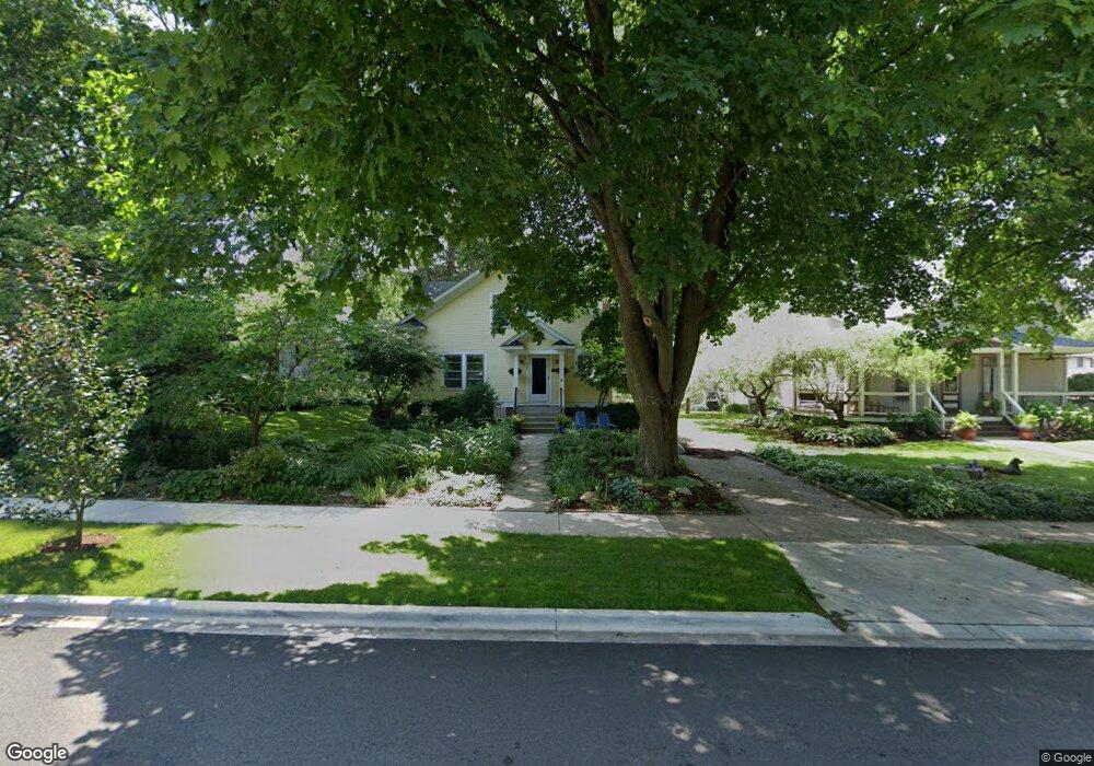
378 S Tryon St Woodstock, IL 60098
Estimated Value: $358,000 - $420,000
5
Beds
2
Baths
2,438
Sq Ft
$160/Sq Ft
Est. Value
About This Home
This home is located at 378 S Tryon St, Woodstock, IL 60098 and is currently estimated at $390,726, approximately $160 per square foot. 378 S Tryon St is a home located in McHenry County with nearby schools including Dean Street Elementary School, Creekside Middle School, and Woodstock High School.
Ownership History
Date
Name
Owned For
Owner Type
Purchase Details
Closed on
Aug 25, 2022
Sold by
Sullivan John E and Sullivan Suzanne M
Bought by
John E Sullivan Living Trust and Suzanne M Hoban Living Trust
Current Estimated Value
Purchase Details
Closed on
Jan 2, 1997
Sold by
Hiatt Kent and Hiatt Lorrie J
Bought by
Sullivan John E and Hoban Suzanne M
Home Financials for this Owner
Home Financials are based on the most recent Mortgage that was taken out on this home.
Original Mortgage
$144,500
Interest Rate
7.6%
Create a Home Valuation Report for This Property
The Home Valuation Report is an in-depth analysis detailing your home's value as well as a comparison with similar homes in the area
Home Values in the Area
Average Home Value in this Area
Purchase History
| Date | Buyer | Sale Price | Title Company |
|---|---|---|---|
| John E Sullivan Living Trust | -- | None Listed On Document | |
| Sullivan John E | $170,000 | -- |
Source: Public Records
Mortgage History
| Date | Status | Borrower | Loan Amount |
|---|---|---|---|
| Previous Owner | Sullivan John E | $144,500 |
Source: Public Records
Tax History Compared to Growth
Tax History
| Year | Tax Paid | Tax Assessment Tax Assessment Total Assessment is a certain percentage of the fair market value that is determined by local assessors to be the total taxable value of land and additions on the property. | Land | Improvement |
|---|---|---|---|---|
| 2024 | $10,332 | $120,139 | $10,114 | $110,025 |
| 2023 | $9,846 | $108,644 | $9,146 | $99,498 |
| 2022 | $9,716 | $100,241 | $8,117 | $92,124 |
| 2021 | $9,251 | $93,657 | $7,584 | $86,073 |
| 2020 | $8,917 | $88,993 | $7,206 | $81,787 |
| 2019 | $8,661 | $84,950 | $6,879 | $78,071 |
| 2018 | $7,800 | $75,976 | $7,847 | $68,129 |
| 2017 | $7,662 | $71,506 | $7,385 | $64,121 |
| 2016 | $7,599 | $66,209 | $6,838 | $59,371 |
| 2013 | -- | $54,110 | $11,977 | $42,133 |
Source: Public Records
Map
Nearby Homes
- 415 Dean St
- 125 Forest Ave
- 321 Hoy Ave
- 104 Stewart Ave
- 331 Chestnut St
- 908 Bunker St
- 330 Lake Ave
- 1249 Prairie Ridge Trail
- 4022 Meadowridge Rd
- 3857 Riverwoods Dr
- 3917 Riverwoods Dr
- 3905 Riverwoods Dr
- 3839 Riverwoods Dr
- 3845 Riverwoods Dr
- 1288 Prairie Ridge Trail
- 1253 Prairie Ridge Trail
- 1245 Prairie Ridge Trail
- Brighton Plan at Clublands of Antioch - Horizon Series
- Meadowlark Plan at Clublands of Antioch - Horizon Series
- Siena Plan at Clublands of Antioch - Andare Series
- 372 S Tryon St
- 382 S Tryon St
- 366 S Tryon St
- 360 S Tryon St
- 510 Dean St
- 523 Dean St Unit 525
- 365 S Hayward St
- 363 S Tryon St
- 531 Dean St
- 403 Herrington Place
- 352 S Tryon St Unit 356
- 361 S Hayward St
- 517 Dean St
- 508 Dean St
- 525 Austin Ave
- 529 Austin Ave
- 515 Dean St
- 409 Herrington Place
- 601 Dean St
- 603 Austin Ave