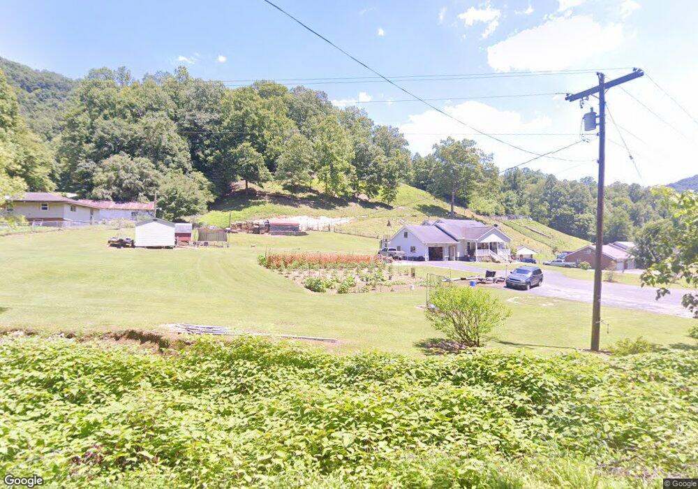
378 Stringers Branch Rd Peytona, WV 25154
Estimated Value: $204,000 - $352,000
4
Beds
2
Baths
2,401
Sq Ft
$116/Sq Ft
Est. Value
About This Home
This home is located at 378 Stringers Branch Rd, Peytona, WV 25154 and is currently estimated at $278,894, approximately $116 per square foot. 378 Stringers Branch Rd is a home located in Boone County.
Ownership History
Date
Name
Owned For
Owner Type
Purchase Details
Closed on
Apr 18, 2018
Sold by
Daniel Sarah L and Runyon Sarah L
Bought by
Runyon Sarah L and Runyon Steven M
Current Estimated Value
Create a Home Valuation Report for This Property
The Home Valuation Report is an in-depth analysis detailing your home's value as well as a comparison with similar homes in the area
Purchase History
| Date | Buyer | Sale Price | Title Company |
|---|---|---|---|
| Runyon Sarah L | -- | None Available |
Source: Public Records
Tax History
| Year | Tax Paid | Tax Assessment Tax Assessment Total Assessment is a certain percentage of the fair market value that is determined by local assessors to be the total taxable value of land and additions on the property. | Land | Improvement |
|---|---|---|---|---|
| 2025 | $1,785 | $142,500 | $12,240 | $130,260 |
| 2024 | $1,785 | $142,500 | $12,240 | $130,260 |
| 2023 | $1,766 | $130,380 | $11,400 | $118,980 |
| 2022 | $1,436 | $113,340 | $10,560 | $102,780 |
| 2021 | $1,408 | $111,300 | $10,440 | $100,860 |
| 2020 | $1,429 | $112,800 | $10,440 | $102,360 |
| 2019 | $1,429 | $112,800 | $10,440 | $102,360 |
| 2018 | $1,515 | $119,580 | $10,440 | $109,140 |
| 2017 | $1,407 | $111,060 | $10,440 | $100,620 |
| 2016 | $1,426 | $112,560 | $10,440 | $102,120 |
| 2015 | $1,239 | $97,800 | $10,440 | $87,360 |
| 2014 | $1,146 | $90,480 | $10,440 | $80,040 |
Source: Public Records
Map
Nearby Homes
- 17801 Daniel Boone Pkwy
- 103 Chestnut Dr
- 9354 Daniel Boone Pkwy
- 24664 Daniel Boone Pkwy
- 276 Easily Rd
- 14001 Ridgeview Nellis Rd
- 31 Fork Creek Rd
- 140 Baron St
- 50 Graley Rd
- 13278 Ridgeview Nellis Rd
- 5712 Daniel Boone Pkwy
- 391 River Rd
- 0 Coal River Rd
- 3631 Daniel Boone Pkwy
- 99 Adler Ln
- 501 Mallard Ln
- 161 Gable Ln
- 872 Country Estates Rd
- 14368 Coal River Rd
- 1136 Pond Fork Rd
- 80 Ella Reg Ln
- 416 Laurel Branch Rd
- 228 Laurel Branch Rd
- 181 Laurel Branch Rd
- 826 Laurel Branch Rd
- 63 Cessna Ln
- 37 Cessna Ln
- 24806 Daniel Boone Pkwy
- 63 Laurel Branch Rd
- 16359 Daniel Boone Pkwy
- 54 Azalea Ln
- 16 Laurel Branch Rd
- 16327 Daniel Boone Pkwy
- 16633 Daniel Boone Pkwy
- 16259 Daniel Boone Pkwy
- 16634 Daniel Boone Pkwy
- 16656 Daniel Boone Pkwy
- 16600 Daniel Boone Pkwy
- 16193 Daniel Boone Pkwy
- 16769 Daniel Boone Pkwy
Your Personal Tour Guide
Ask me questions while you tour the home.