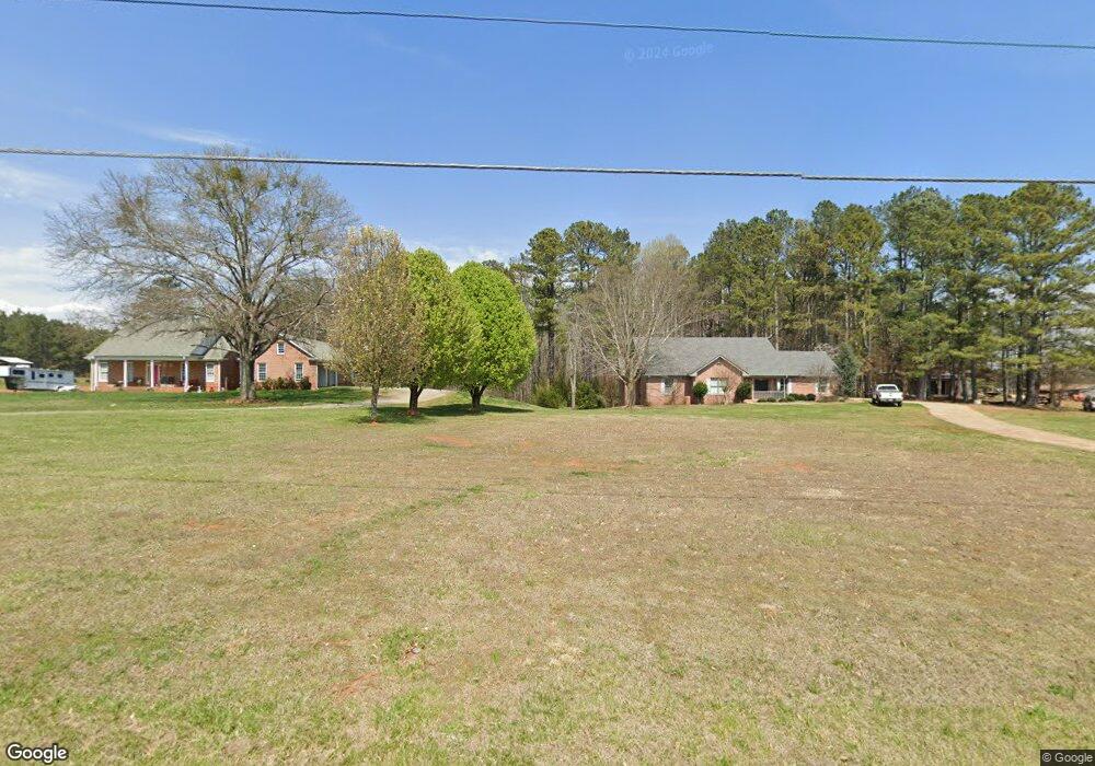
3780 Watson Rd Cumming, GA 30028
Estimated Value: $307,000 - $455,000
3
Beds
2
Baths
1,886
Sq Ft
$207/Sq Ft
Est. Value
About This Home
This home is located at 3780 Watson Rd, Cumming, GA 30028 and is currently estimated at $390,390, approximately $206 per square foot. 3780 Watson Rd is a home with nearby schools including Poole's Mill Elementary School, Liberty Middle School, and West Forsyth High School.
Ownership History
Date
Name
Owned For
Owner Type
Purchase Details
Closed on
Sep 21, 2020
Sold by
Sanford Michael V
Bought by
Sanford Rebecca and Sanford Levi
Current Estimated Value
Home Financials for this Owner
Home Financials are based on the most recent Mortgage that was taken out on this home.
Original Mortgage
$150,000
Outstanding Balance
$133,115
Interest Rate
2.9%
Mortgage Type
New Conventional
Estimated Equity
$257,275
Purchase Details
Closed on
Feb 18, 2020
Sold by
Sanford Annie Fred
Bought by
Sanford Mitchel F and Sanford Cindy L
Purchase Details
Closed on
May 10, 2007
Sold by
Sanford Jack V
Bought by
Sanford Annie F W
Create a Home Valuation Report for This Property
The Home Valuation Report is an in-depth analysis detailing your home's value as well as a comparison with similar homes in the area
Home Values in the Area
Average Home Value in this Area
Purchase History
| Date | Buyer | Sale Price | Title Company |
|---|---|---|---|
| Sanford Rebecca | $187,500 | -- | |
| Sanford Mitchel F | -- | -- | |
| Sanford Michael V | -- | -- | |
| Sanford Annie F W | -- | -- |
Source: Public Records
Mortgage History
| Date | Status | Borrower | Loan Amount |
|---|---|---|---|
| Open | Sanford Rebecca | $150,000 |
Source: Public Records
Tax History Compared to Growth
Tax History
| Year | Tax Paid | Tax Assessment Tax Assessment Total Assessment is a certain percentage of the fair market value that is determined by local assessors to be the total taxable value of land and additions on the property. | Land | Improvement |
|---|---|---|---|---|
| 2025 | $3,113 | $153,684 | $41,808 | $111,876 |
| 2024 | $3,113 | $140,604 | $31,356 | $109,248 |
| 2023 | $2,679 | $137,248 | $33,768 | $103,480 |
| 2022 | $2,964 | $93,328 | $20,520 | $72,808 |
| 2021 | $2,487 | $93,328 | $20,520 | $72,808 |
| 2020 | $7,777 | $281,616 | $224,984 | $56,632 |
| 2019 | $6,396 | $231,300 | $174,988 | $56,312 |
| 2018 | $5,934 | $214,580 | $174,988 | $39,592 |
| 2017 | $5,433 | $195,756 | $158,324 | $37,432 |
| 2016 | $1,030 | $162,424 | $124,992 | $37,432 |
| 2015 | $1,034 | $162,424 | $124,992 | $37,432 |
| 2014 | $943 | $134,504 | $0 | $0 |
Source: Public Records
Map
Nearby Homes
- 4275 Hunters Walk Way
- 4305 Hunters Walk Way
- 4059 Yellow Creek Trail
- 4225 Penion Point
- 4845 Haley Farms Dr
- 3505 Watson Rd
- 3975 Silverthorn Trace
- 3880 Deer Run Dr
- 3875 Deer Run Dr
- 4015 Fouts Dr
- 3970 Fouts Dr
- 3705 Williams Point Dr
- 3820 Pheasant Run Trace
- 3220 Carswell Bend
- 0 Sewell Rd Unit 7636161
- 3905 Hurt Bridge Rd
- WESTERLY Plan at Haven Abbey
- LYNNBROOK Plan at Haven Abbey
- BELLVIEW Plan at Haven Abbey
- GRAYSON Plan at Haven Abbey
- 3810 Watson Rd
- 3820 Watson Rd
- 3746 Watson Rd
- 3750 Watson Rd
- 3875 Watson Rd
- 3880 Watson Rd
- 3620 Watson Rd
- 3910 Watson Rd
- 3630 Watson Rd
- 3655 Watson Rd
- 3930 Watson Rd
- 4345 Jeston Ct Unit 58
- 4345 Jeston Ct
- 3640 Watson Rd
- 4335 Jeston Ct Unit 57
- 4335 Jeston Ct
- 4350 Jeston Ct Unit 59
- 4350 Jeston Ct
- 3610 Watson Rd
- 4080 Yellow Creek Trail