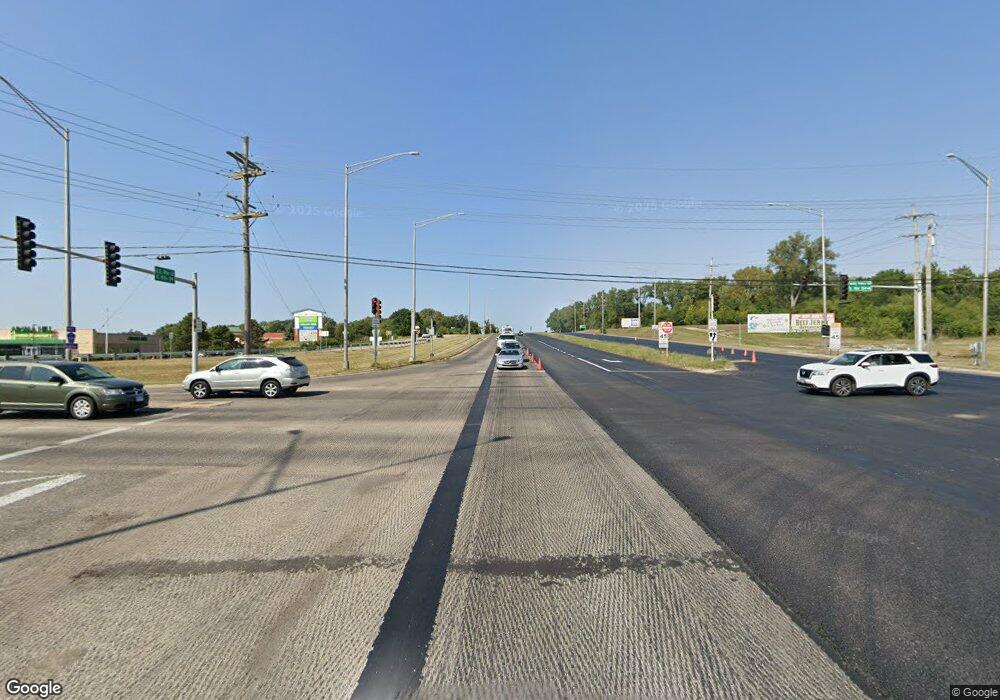
37820 N Us Highway 12 Spring Grove, IL 60081
Northeast Fox Lake NeighborhoodEstimated Value: $157,000 - $198,000
2
Beds
1
Bath
922
Sq Ft
$197/Sq Ft
Est. Value
About This Home
This home is located at 37820 N Us Highway 12, Spring Grove, IL 60081 and is currently estimated at $181,443, approximately $196 per square foot. 37820 N Us Highway 12 is a home located in Lake County with nearby schools including Lotus Elementary School, Stanton Middle School, and Grant Community High School.
Ownership History
Date
Name
Owned For
Owner Type
Purchase Details
Closed on
Sep 9, 2005
Sold by
Roth Dawn Charise and Roth Dawn
Bought by
Zolidis Rosalyn F
Current Estimated Value
Home Financials for this Owner
Home Financials are based on the most recent Mortgage that was taken out on this home.
Original Mortgage
$105,342
Outstanding Balance
$56,924
Interest Rate
6.01%
Mortgage Type
Stand Alone First
Estimated Equity
$124,519
Purchase Details
Closed on
Jul 23, 2004
Sold by
Kick Larry E and Kick Rosalie
Bought by
Specht Dawn Charise
Purchase Details
Closed on
Apr 10, 2001
Sold by
Johlfs Roger D and Johlfs Kathleen
Bought by
Kick Larry E and Kick Rosalie
Create a Home Valuation Report for This Property
The Home Valuation Report is an in-depth analysis detailing your home's value as well as a comparison with similar homes in the area
Home Values in the Area
Average Home Value in this Area
Purchase History
| Date | Buyer | Sale Price | Title Company |
|---|---|---|---|
| Zolidis Rosalyn F | $132,000 | Ticor | |
| Specht Dawn Charise | -- | Law Title Insurane Co Inc | |
| Kick Larry E | $75,000 | -- |
Source: Public Records
Mortgage History
| Date | Status | Borrower | Loan Amount |
|---|---|---|---|
| Open | Zolidis Rosalyn F | $105,342 |
Source: Public Records
Tax History Compared to Growth
Tax History
| Year | Tax Paid | Tax Assessment Tax Assessment Total Assessment is a certain percentage of the fair market value that is determined by local assessors to be the total taxable value of land and additions on the property. | Land | Improvement |
|---|---|---|---|---|
| 2024 | $322 | $41,489 | $5,323 | $36,166 |
| 2023 | $748 | $34,507 | $5,015 | $29,492 |
| 2022 | $748 | $32,638 | $2,531 | $30,107 |
| 2021 | $1,688 | $30,765 | $2,386 | $28,379 |
| 2020 | $784 | $25,908 | $2,352 | $23,556 |
| 2019 | $770 | $24,844 | $2,255 | $22,589 |
| 2018 | $1,205 | $20,025 | $3,114 | $16,911 |
| 2017 | $1,157 | $18,509 | $2,878 | $15,631 |
| 2016 | $1,123 | $16,928 | $2,632 | $14,296 |
| 2015 | $1,047 | $15,797 | $2,456 | $13,341 |
| 2014 | $1,652 | $17,929 | $5,437 | $12,492 |
| 2012 | $2,527 | $22,862 | $5,664 | $17,198 |
Source: Public Records
Map
Nearby Homes
- 37902 N West St
- 37714 N Nippersink Place
- 37706 N Nippersink Place
- 1330 Nippersink Dr
- 38073 N Nippersink Dr
- 37822 N Watts Ave
- 37925 N Lake Vista Terrace
- 28624 W Kendall Ave
- 707 Kingston Blvd
- 38236 N Lee Ave
- 38265 N State Park Rd
- Lot 6 Lucina Ave
- 5504 Louella Ave
- 6415 N Shore Ave
- 174 Riverside Island Dr
- 706 Henry Trail
- 1023 Hooks Ln
- 706 W Pheasant Trail
- 609 Monterrey Terrace
- 5207 N Lake St
- 28928 W South Ave
- 28916 W South Ave
- 28929 W South Ave
- Lot 16 South St
- 28969 W Westlane Ave
- 28937 W South Ave
- 28970 W South Ave
- 28917 W South Ave
- 28963 W South Ave
- 37876 N Nippersink Place
- 37859 N West St
- 37867 N West St
- 37802 N West St
- 28915 W Westlane Ave
- 28941 W Westlane Ave
- 37842 N West St
- 28973 W Westlane Ave
- 37818 N Nippersink Place
- 28955 W Westlane Ave
- 37860 N West St
