3783 Sandy Ridge Farm Rd La Grange, NC 28551
Estimated Value: $296,000 - $405,633
3
Beds
3
Baths
2,162
Sq Ft
$161/Sq Ft
Est. Value
About This Home
This home is located at 3783 Sandy Ridge Farm Rd, La Grange, NC 28551 and is currently estimated at $348,658, approximately $161 per square foot. 3783 Sandy Ridge Farm Rd is a home with nearby schools including La Grange Elementary School, E.B. Frink Middle School, and North Lenoir High School.
Ownership History
Date
Name
Owned For
Owner Type
Purchase Details
Closed on
Jul 23, 2013
Sold by
Clark Thomas N and Clark Heather F
Bought by
Garner Stephen Farley and Garner Lisa Brown
Current Estimated Value
Home Financials for this Owner
Home Financials are based on the most recent Mortgage that was taken out on this home.
Original Mortgage
$261,300
Outstanding Balance
$190,325
Interest Rate
3.96%
Mortgage Type
Construction
Estimated Equity
$158,333
Purchase Details
Closed on
Apr 24, 2006
Sold by
Howard Dorothy June and Howard Hugh H
Bought by
Clark Thomas N and Clark Heather R
Create a Home Valuation Report for This Property
The Home Valuation Report is an in-depth analysis detailing your home's value as well as a comparison with similar homes in the area
Home Values in the Area
Average Home Value in this Area
Purchase History
| Date | Buyer | Sale Price | Title Company |
|---|---|---|---|
| Garner Stephen Farley | $33,500 | None Available | |
| Clark Thomas N | $40,000 | None Available |
Source: Public Records
Mortgage History
| Date | Status | Borrower | Loan Amount |
|---|---|---|---|
| Open | Garner Stephen Farley | $261,300 |
Source: Public Records
Tax History Compared to Growth
Tax History
| Year | Tax Paid | Tax Assessment Tax Assessment Total Assessment is a certain percentage of the fair market value that is determined by local assessors to be the total taxable value of land and additions on the property. | Land | Improvement |
|---|---|---|---|---|
| 2025 | $3,069 | $411,279 | $36,050 | $375,229 |
| 2024 | $2,278 | $242,401 | $24,160 | $218,241 |
| 2023 | $2,278 | $242,401 | $24,160 | $218,241 |
| 2022 | $2,278 | $242,401 | $24,160 | $218,241 |
| 2021 | $2,272 | $242,401 | $24,160 | $218,241 |
| 2020 | $2,272 | $242,401 | $24,160 | $218,241 |
| 2019 | $2,278 | $242,401 | $24,160 | $218,241 |
| 2018 | $2,241 | $242,401 | $24,160 | $218,241 |
| 2017 | $2,203 | $237,401 | $24,160 | $213,241 |
| 2014 | $1,797 | $194,713 | $24,160 | $170,553 |
| 2013 | -- | $24,160 | $24,160 | $0 |
| 2011 | -- | $24,160 | $24,160 | $0 |
Source: Public Records
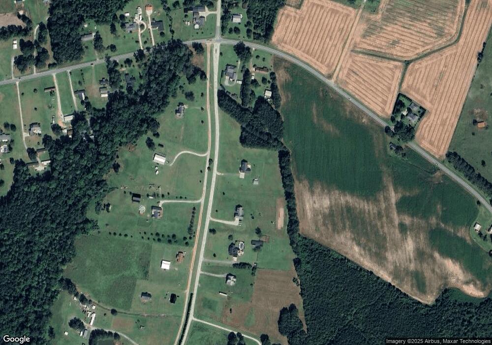
Map
Nearby Homes
- 3684 Drew Farmer Rd
- 3696 Drew Farmer Rd
- 3730 Huntcliff Dr
- 3740 Huntcliff Dr
- 3725 Huntcliff Dr
- 3711 Drew Farmer Rd
- 3766 Huntcliff Dr
- 3803 Huntcliff Dr
- 3821 Lindsey Ln
- 3796 Pecan Grove Cir
- 4310 Colie Rd
- 2526 Moulton Dr
- 3145 Lakewood Dr Unit 3155
- 3216 Dexter Cir
- 2445 Tammy Dr
- 3128 Kelly Rd
- 3255 Caroline Nicole Dr
- 2886 Fox Run Cir
- 2746 Pinewood Dr
- 2912 Fox Run Cir
- 3761 Sandy Ridge Farm Rd
- 3741 Sandy Ridge Farm Rd
- 3810 Fred Jones Rd
- 3912 Fred Jones Rd
- 0 Fred Jones Rd
- 3663 Sandy Ridge Farm Rd
- 3579 Sandy Ridge Farm Rd
- 0 Sandy Ridge Farm Rd
- 3509 Pauls Path Rd
- 3499 Pauls Path Rd
- 3725 Sandy Ridge Farm Rd
- 3830 Fred Jones Rd
- 3790 Fred Jones Rd
- 3565 Pauls Path Rd
- 3395 Pauls Path Rd
- 3613 Drew Farmer Rd
- 3599 Pauls Path Rd
- 3792 Fred Jones Rd
- 3616 Drew Farmer Rd
- 3540 Pauls Path Rd