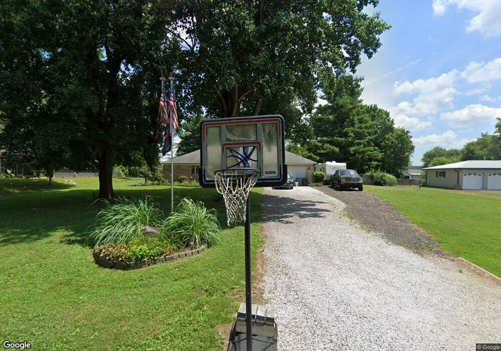
3785 Adams Dr Martinsville, IN 46151
Estimated Value: $235,000 - $363,000
3
Beds
2
Baths
1,628
Sq Ft
$197/Sq Ft
Est. Value
About This Home
This home is located at 3785 Adams Dr, Martinsville, IN 46151 and is currently estimated at $320,190, approximately $196 per square foot. 3785 Adams Dr is a home located in Morgan County with nearby schools including Martinsville High School.
Ownership History
Date
Name
Owned For
Owner Type
Purchase Details
Closed on
Dec 18, 2009
Sold by
Yoho Michael B and Yoho Maria M
Bought by
Meacham James A
Current Estimated Value
Home Financials for this Owner
Home Financials are based on the most recent Mortgage that was taken out on this home.
Original Mortgage
$142,857
Outstanding Balance
$93,466
Interest Rate
4.96%
Mortgage Type
New Conventional
Estimated Equity
$226,724
Purchase Details
Closed on
Jun 3, 2005
Sold by
Peel Elizabeth
Bought by
Yaho Michael B and Yaho Maria M
Create a Home Valuation Report for This Property
The Home Valuation Report is an in-depth analysis detailing your home's value as well as a comparison with similar homes in the area
Home Values in the Area
Average Home Value in this Area
Purchase History
| Date | Buyer | Sale Price | Title Company |
|---|---|---|---|
| Meacham James A | -- | -- | |
| Yaho Michael B | -- | None Available |
Source: Public Records
Mortgage History
| Date | Status | Borrower | Loan Amount |
|---|---|---|---|
| Open | Meacham James A | $142,857 |
Source: Public Records
Tax History Compared to Growth
Tax History
| Year | Tax Paid | Tax Assessment Tax Assessment Total Assessment is a certain percentage of the fair market value that is determined by local assessors to be the total taxable value of land and additions on the property. | Land | Improvement |
|---|---|---|---|---|
| 2024 | $1,303 | $259,600 | $56,400 | $203,200 |
| 2023 | $1,259 | $263,900 | $56,400 | $207,500 |
| 2022 | $1,086 | $246,500 | $56,400 | $190,100 |
| 2021 | $730 | $187,200 | $24,800 | $162,400 |
| 2020 | $677 | $182,900 | $24,800 | $158,100 |
| 2019 | $632 | $164,300 | $24,800 | $139,500 |
| 2018 | $586 | $159,700 | $19,900 | $139,800 |
| 2017 | $581 | $159,700 | $19,900 | $139,800 |
| 2016 | $546 | $148,500 | $19,900 | $128,600 |
| 2014 | $465 | $149,300 | $19,900 | $129,400 |
| 2013 | -- | $150,900 | $19,900 | $131,000 |
Source: Public Records
Map
Nearby Homes
- 3735 Egbert Rd
- 4440 State Road 37 N
- 00 Wysscraft Ln
- 3813 N Ramsgate Rd
- 0 Foxcliff East Dr S Unit MBR22069585
- 2001 E Ely Ct
- 1927 E Derby Ct
- 3185 N Southampton Ridge
- 2975 Southampton Dr
- 3160 Southampton Dr
- 5774 N Henderson Ford Rd
- 899/900 L Southampton Dr
- N Oxford Ct N Oxford Ct
- 0 N Oxford Ct Unit MBR21838244
- TBD Maple Grove Rd
- 2340 N Egbert Rd
- 0 E Durham Dr Unit MBR22052372
- 0 E Terrace S Unit MBR22039049
- 4385 Cragen Rd
- Lot #297 E Durham Dr
- 3765 Adams Dr
- 3805 Adams Dr
- 3815 Adams Dr
- 3860 Henderson Ford Rd
- 3720 Adams Dr
- 3750 Adams Dr
- 3850 Henderson Ford Rd
- 3790 Adams Dr
- 3700 Adams Dr
- 3770 Adams Dr
- 3870 Henderson Ford Rd
- 3870 N Bradford Rd
- 3800 Adams Dr
- 3755 Adams Dr
- 3875 Adams Dr
- 3820 Adams Dr
- 3970 N Bradford Rd
- 3770 Henderson Ford Rd
- 3745 Adams Dr
- 3970 Henderson Ford Rd