3785 State Route 42 S Mansfield, OH 44904
Estimated Value: $426,000 - $593,000
3
Beds
3
Baths
2,837
Sq Ft
$187/Sq Ft
Est. Value
About This Home
This home is located at 3785 State Route 42 S, Mansfield, OH 44904 and is currently estimated at $531,528, approximately $187 per square foot. 3785 State Route 42 S is a home located in Richland County with nearby schools including Lexington High School and Grace Christian School.
Ownership History
Date
Name
Owned For
Owner Type
Purchase Details
Closed on
Feb 24, 2006
Sold by
Whitney M Lore
Bought by
Whitney Michael M J and Whitney Mary Beth
Current Estimated Value
Home Financials for this Owner
Home Financials are based on the most recent Mortgage that was taken out on this home.
Original Mortgage
$292,500
Outstanding Balance
$165,602
Interest Rate
6.2%
Mortgage Type
Fannie Mae Freddie Mac
Estimated Equity
$365,926
Purchase Details
Closed on
Mar 2, 1993
Bought by
Whitney M Lore
Create a Home Valuation Report for This Property
The Home Valuation Report is an in-depth analysis detailing your home's value as well as a comparison with similar homes in the area
Home Values in the Area
Average Home Value in this Area
Purchase History
| Date | Buyer | Sale Price | Title Company |
|---|---|---|---|
| Whitney Michael M J | $325,000 | Chicago Title | |
| Whitney M Lore | -- | -- |
Source: Public Records
Mortgage History
| Date | Status | Borrower | Loan Amount |
|---|---|---|---|
| Open | Whitney Michael M J | $292,500 |
Source: Public Records
Tax History Compared to Growth
Tax History
| Year | Tax Paid | Tax Assessment Tax Assessment Total Assessment is a certain percentage of the fair market value that is determined by local assessors to be the total taxable value of land and additions on the property. | Land | Improvement |
|---|---|---|---|---|
| 2024 | $6,119 | $119,840 | $14,370 | $105,470 |
| 2023 | $6,119 | $119,840 | $14,370 | $105,470 |
| 2022 | $5,630 | $94,850 | $13,060 | $81,790 |
| 2021 | $5,649 | $94,850 | $13,060 | $81,790 |
| 2020 | $5,653 | $94,850 | $13,060 | $81,790 |
| 2019 | $5,235 | $80,610 | $11,070 | $69,540 |
| 2018 | $4,492 | $80,610 | $11,070 | $69,540 |
| 2017 | $4,701 | $80,610 | $11,070 | $69,540 |
| 2016 | $4,957 | $88,150 | $11,070 | $77,080 |
| 2015 | $4,957 | $88,150 | $11,070 | $77,080 |
| 2014 | $4,776 | $88,150 | $11,070 | $77,080 |
| 2012 | $4,507 | $88,150 | $11,070 | $77,080 |
Source: Public Records
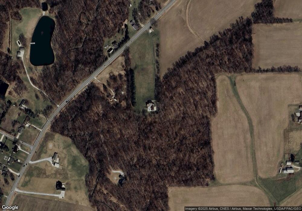
Map
Nearby Homes
- 3787 Needham Rd
- 0 Maxwell Rd
- 2670 Kings Corners Rd E
- 2869 Eckert Rd
- 0 Fox Rd
- 207 Breton Dr
- 3265 Texter Rd
- 450 Fox Rd
- 113 Gables Blvd
- Lot 0 Denman Rd
- 180 Delaware Ave
- 7425 Township Road 49
- 24 Maple St
- 154 W Main St
- 48 Grange St
- 54 Pembroke Blvd
- 77 Frederick St
- 18 Sussex Ct W
- 0 Ohio 97
- 100 102 Pembroke Blvd
- 3843 State Route 42 S
- 3873 State Route 42 St S
- 3806 State Route 42 S
- 3788 State Route 42 S
- 3875 State Route 42 S
- 3877 State Route 42 S
- 3762 State Route 42 S
- 3886 State Route 42 S Unit US
- 3878 State Route 42 S
- 3042 Barr Rd
- 3870 State Route 42 S
- 3906 State Route 42 S
- 3800 Maxwell Rd
- 3912 State Route 42 S
- 3072 Barr Rd
- 3918 State Route 42 S
- 3061 Barr Rd
- 3074 Barr Rd
- 3818 Maxwell Rd
- 3081 Barr Rd