379 Adams Hill Rd Nicholson, GA 30565
Estimated Value: $551,000 - $887,082
--
Bed
4
Baths
2,406
Sq Ft
$299/Sq Ft
Est. Value
About This Home
This home is located at 379 Adams Hill Rd, Nicholson, GA 30565 and is currently estimated at $719,041, approximately $298 per square foot. 379 Adams Hill Rd is a home located in Jackson County with nearby schools including East Jackson Middle School and East Jackson Comprehensive High School.
Ownership History
Date
Name
Owned For
Owner Type
Purchase Details
Closed on
May 5, 2014
Sold by
Adams Harold Scott
Bought by
Adams Harold Scott and Adams Janet
Current Estimated Value
Purchase Details
Closed on
Oct 31, 2000
Sold by
Adams Land Investmen
Bought by
Adams Harold Scott
Create a Home Valuation Report for This Property
The Home Valuation Report is an in-depth analysis detailing your home's value as well as a comparison with similar homes in the area
Home Values in the Area
Average Home Value in this Area
Purchase History
| Date | Buyer | Sale Price | Title Company |
|---|---|---|---|
| Adams Harold Scott | -- | -- | |
| Adams Harold Scott | -- | -- |
Source: Public Records
Tax History Compared to Growth
Tax History
| Year | Tax Paid | Tax Assessment Tax Assessment Total Assessment is a certain percentage of the fair market value that is determined by local assessors to be the total taxable value of land and additions on the property. | Land | Improvement |
|---|---|---|---|---|
| 2024 | $8,033 | $316,000 | $78,080 | $237,920 |
| 2023 | $8,033 | $286,520 | $78,080 | $208,440 |
| 2022 | $5,843 | $202,760 | $39,040 | $163,720 |
| 2021 | $5,782 | $202,760 | $39,040 | $163,720 |
| 2020 | $5,569 | $178,400 | $39,040 | $139,360 |
| 2019 | $5,654 | $178,400 | $39,040 | $139,360 |
| 2018 | $5,370 | $167,200 | $39,040 | $128,160 |
| 2017 | $4,187 | $160,125 | $35,631 | $124,494 |
| 2016 | $4,205 | $160,125 | $35,631 | $124,494 |
| 2015 | $4,220 | $160,124 | $35,631 | $124,494 |
| 2014 | $3,914 | $152,037 | $35,631 | $116,406 |
| 2013 | -- | $158,163 | $35,630 | $122,532 |
Source: Public Records
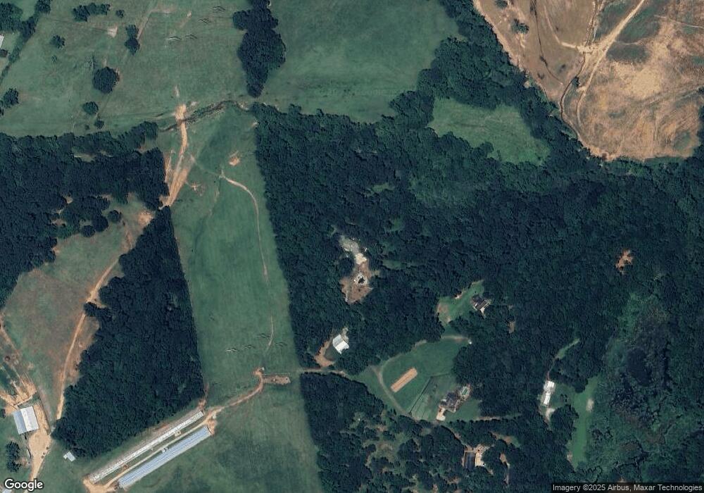
Map
Nearby Homes
- 1718 Ed Bennett Rd
- 130 Levi Trail
- 140 Levi Trail
- 97 Abby Ln
- 0 US Hwy 441 S Unit 20890220
- 10 Red Rose Rd
- 322 Cedar Tree Ln
- 4419 New Kings Bridge Rd
- 0 Nowhere Ln Unit 10544151
- 7 Red Rose Rd
- 9 Red Rose Rd
- 719 Old Athens Dr
- 425 Bob Holman Rd
- 520 Old Athens Dr
- 2850 Commerce Rd
- 223 Sawdust Trail
- 170 Rocky Dr
- 310 Sawdust Rd
- 1192 Old Kings Bridge Rd
- 1771 Leon Ellis Rd
- 385 Adams Hill Rd
- 377 Adams Hill Rd
- 324 Adams Hill Rd
- 350 Reynolds Rd
- 254 Adams Hill Rd
- 179 Asgard Farms Rd
- 179 Asgard Farms Rd
- 193 Deerbrook Dr
- 186 Deerbrook Dr
- 0 Deerbrook Dr Unit 7147757
- 110 Adams Hill Rd
- 1141 Ed Bennett Rd
- 371 Adams Hill Rd
- 1153 Ed Bennett Rd
- 1575 Ed Bennett Rd
- 90 Deerbrook Dr
- 1801 Ed Bennett Rd
- 1627 Ed Bennett Rd
- 399 Asgard Farms Rd
- 399 Asgard Farms Rd