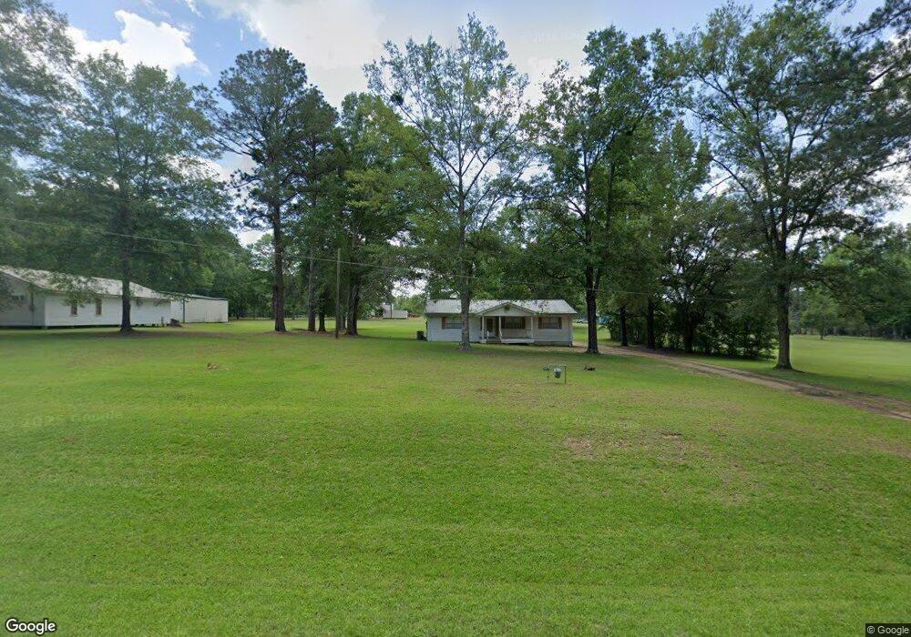
379 Airbase Rd Pollock, LA 71467
Estimated Value: $110,000 - $215,000
Studio
--
Bath
--
Sq Ft
48,961
Sq Ft Lot
About This Home
This home is located at 379 Airbase Rd, Pollock, LA 71467 and is currently estimated at $158,052. 379 Airbase Rd is a home located in Grant Parish with nearby schools including Pollock Elementary School, Grant Junior High School, and Grant High School.
Ownership History
Date
Name
Owned For
Owner Type
Purchase Details
Closed on
Feb 9, 2009
Sold by
Kees Elzie Lee and Kees Myrtle Simmons
Bought by
Simmons James Keith and Simmons Beverly Lynn Young
Current Estimated Value
Home Financials for this Owner
Home Financials are based on the most recent Mortgage that was taken out on this home.
Original Mortgage
$44,085
Outstanding Balance
$27,583
Interest Rate
4.91%
Estimated Equity
$130,469
Create a Home Valuation Report for This Property
The Home Valuation Report is an in-depth analysis detailing your home's value as well as a comparison with similar homes in the area
Purchase History
| Date | Buyer | Sale Price | Title Company |
|---|---|---|---|
| Simmons James Keith | $58,000 | -- |
Source: Public Records
Mortgage History
| Date | Status | Borrower | Loan Amount |
|---|---|---|---|
| Open | Simmons James Keith | $44,085 |
Source: Public Records
Tax History
| Year | Tax Paid | Tax Assessment Tax Assessment Total Assessment is a certain percentage of the fair market value that is determined by local assessors to be the total taxable value of land and additions on the property. | Land | Improvement |
|---|---|---|---|---|
| 2024 | $1,027 | $6,901 | $901 | $6,000 |
| 2023 | $944 | $6,100 | $400 | $5,700 |
| 2022 | $943 | $6,100 | $400 | $5,700 |
| 2021 | $943 | $6,100 | $400 | $5,700 |
| 2020 | $942 | $6,100 | $400 | $5,700 |
| 2019 | $942 | $5,900 | $400 | $5,500 |
| 2018 | $942 | $5,900 | $400 | $5,500 |
| 2017 | $868 | $5,900 | $400 | $5,500 |
| 2015 | $996 | $5,700 | $400 | $5,300 |
| 2014 | $996 | $5,700 | $400 | $5,300 |
| 2013 | $996 | $5,700 | $400 | $5,300 |
Source: Public Records
Map
Nearby Homes
- 479 Airbase Rd
- 0 Edmonds Rd
- 000 Highway 165 None
- 121 Highway 3130
- 9385 Highway 165 None
- 120 Meadow Ln
- 9385 Highway 165
- 132 Meadow Ln
- 119 Meadow Ln
- 131 Meadow Ln
- 193 Roberts Rd
- 9130 Highway 165 None
- 9130 Highway 165
- 0 N 165 Hwy Unit 2516900
- 112 Oak Run Trail
- 128 Robertson Rd
- 6911 Springhill Rd
- 769 E Meade Rd
- 773 E Meade Rd
- 6715 Springhill Rd
- 389 Airbase Rd
- 381 Airbase Rd
- 393 Airbase Rd
- 144 Jk Simmons Rd
- 345 Airbase Rd
- 378 Airbase Rd
- 421 Airbase Rd
- 0 Airbase Rd
- 310 Airbase Rd
- 182 Jk Simmons Rd
- 306 Airbase Rd
- 449 Airbase Rd
- 792 Crawford Loop
- 300 Airbase Rd
- 461 Airbase Rd
- 750 Crawford Loop
- 760 Crawford Loop
- 113 Edmonds Rd
- 117 Reech Rd
- 216 Reech Rd
Your Personal Tour Guide
Ask me questions while you tour the home.