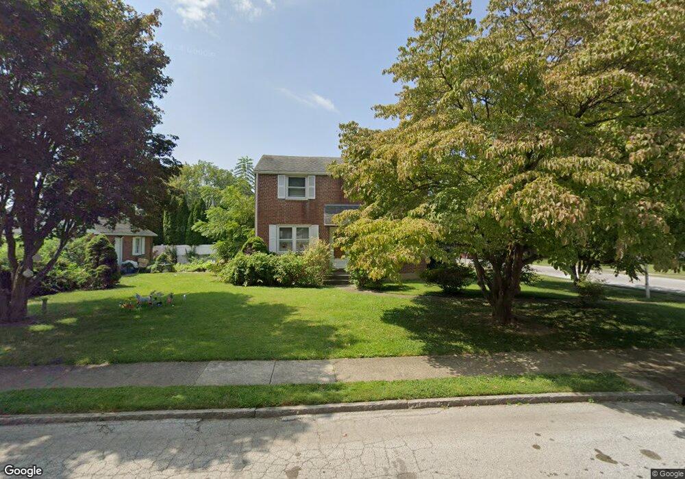
379 Bennett Rd Springfield, PA 19064
Estimated Value: $434,462 - $484,000
3
Beds
1
Bath
1,392
Sq Ft
$333/Sq Ft
Est. Value
About This Home
This home is located at 379 Bennett Rd, Springfield, PA 19064 and is currently estimated at $463,116, approximately $332 per square foot. 379 Bennett Rd is a home located in Delaware County with nearby schools including Springfield High School, St Francis Of Assisi School, and Holy Cross School.
Ownership History
Date
Name
Owned For
Owner Type
Purchase Details
Closed on
Sep 12, 1997
Sold by
Lehrkinder Esquire Donald W and Lindstrand Helen L
Bought by
Mcginley Rosemary
Current Estimated Value
Home Financials for this Owner
Home Financials are based on the most recent Mortgage that was taken out on this home.
Original Mortgage
$99,500
Outstanding Balance
$15,298
Interest Rate
7.38%
Mortgage Type
Purchase Money Mortgage
Estimated Equity
$447,818
Create a Home Valuation Report for This Property
The Home Valuation Report is an in-depth analysis detailing your home's value as well as a comparison with similar homes in the area
Home Values in the Area
Average Home Value in this Area
Purchase History
| Date | Buyer | Sale Price | Title Company |
|---|---|---|---|
| Mcginley Rosemary | $155,210 | Commonwealth Land Title Ins |
Source: Public Records
Mortgage History
| Date | Status | Borrower | Loan Amount |
|---|---|---|---|
| Open | Mcginley Rosemary | $99,500 |
Source: Public Records
Tax History
| Year | Tax Paid | Tax Assessment Tax Assessment Total Assessment is a certain percentage of the fair market value that is determined by local assessors to be the total taxable value of land and additions on the property. | Land | Improvement |
|---|---|---|---|---|
| 2025 | $7,313 | $260,180 | $94,950 | $165,230 |
| 2024 | $7,313 | $260,180 | $94,950 | $165,230 |
| 2023 | $7,042 | $260,180 | $94,950 | $165,230 |
| 2022 | $6,889 | $260,180 | $94,950 | $165,230 |
| 2021 | $10,669 | $260,180 | $94,950 | $165,230 |
| 2020 | $6,393 | $141,080 | $45,650 | $95,430 |
| 2019 | $6,243 | $141,080 | $45,650 | $95,430 |
| 2018 | $6,153 | $141,080 | $0 | $0 |
| 2017 | $6,011 | $141,080 | $0 | $0 |
| 2016 | $774 | $141,080 | $0 | $0 |
| 2015 | $790 | $141,080 | $0 | $0 |
| 2014 | $790 | $141,080 | $0 | $0 |
Source: Public Records
Map
Nearby Homes
- 334 Parham Rd
- 720 Evans Rd
- 658 E Leamy Ave
- 253 Saxer Ave
- 114 Providence Rd
- 226 Lynbrooke Rd
- 227 E Leamy Ave
- 225 Lynbrooke Rd
- 264 Pancoast Ave
- 238 Alliston Rd
- 838 West Ave
- 231 E Woodland Ave
- 933 Greenbriar Ln
- 354 E Springfield Rd
- 514 Springview Ln
- 1022 Crozer Ln
- 364 S Rolling Rd
- 507 School St
- 493 Wheatsheaf Rd
- 1005 Edwards Dr
Your Personal Tour Guide
Ask me questions while you tour the home.